Chilkat River Gallery
Pictures of, from, or near Chilkat River.
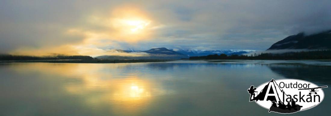
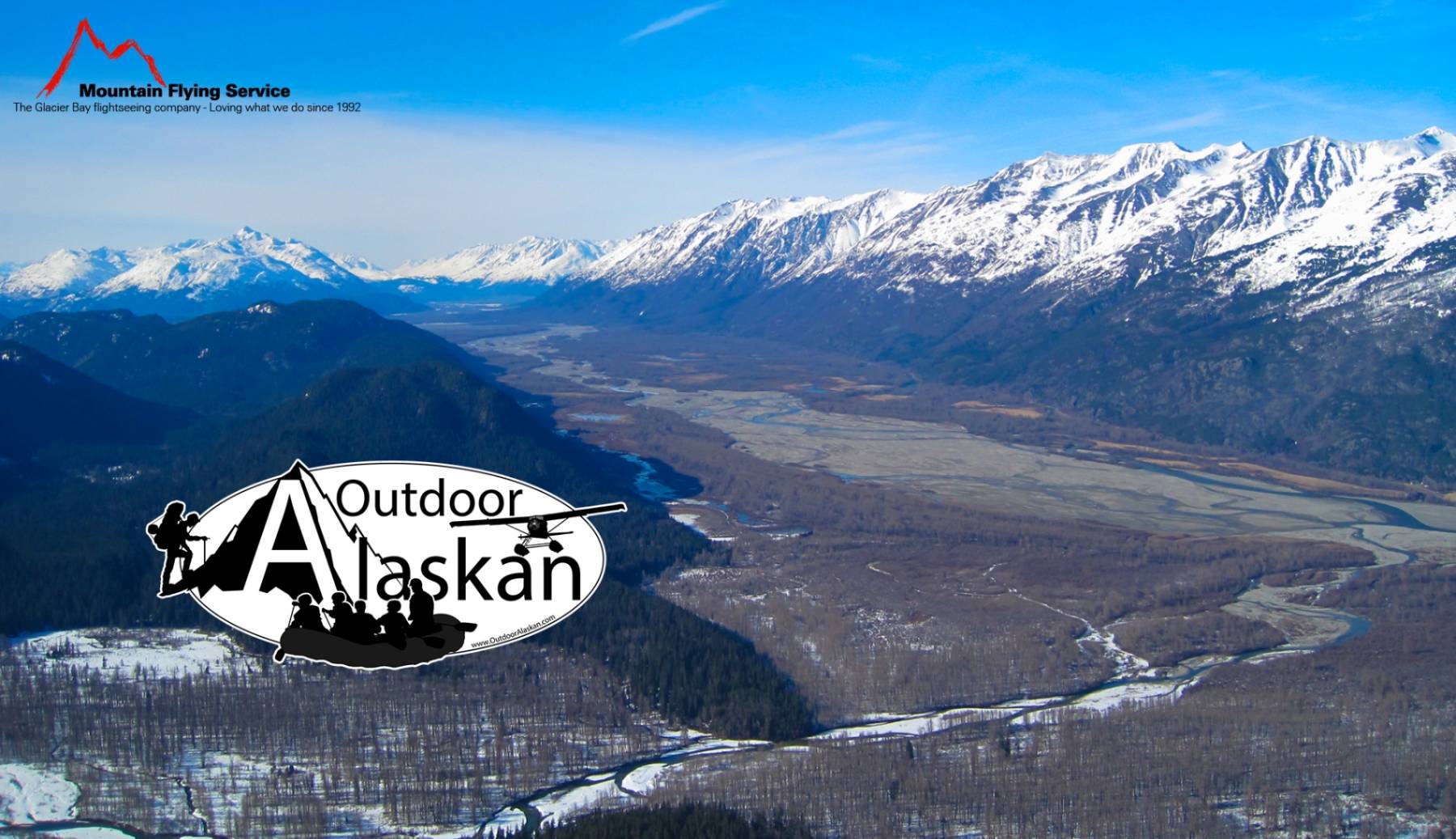
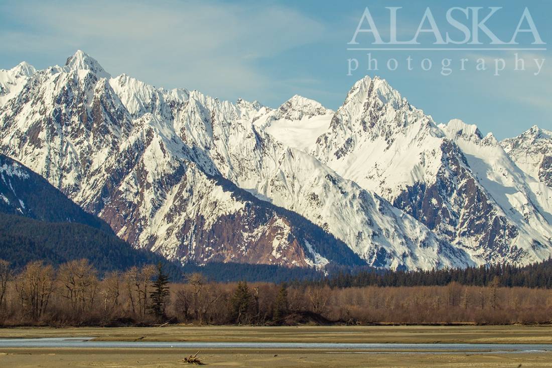
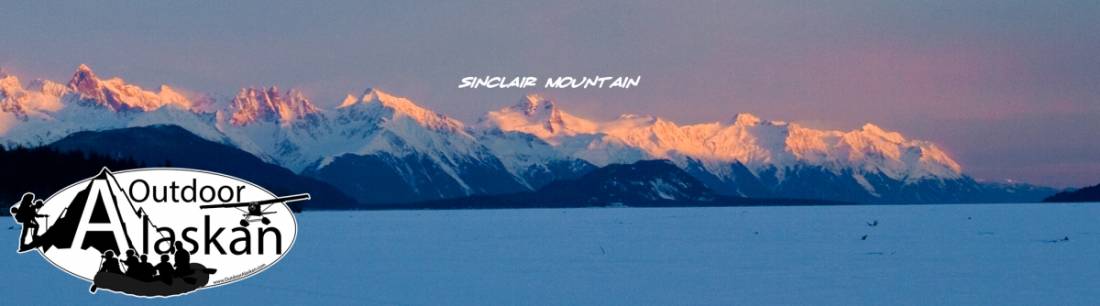
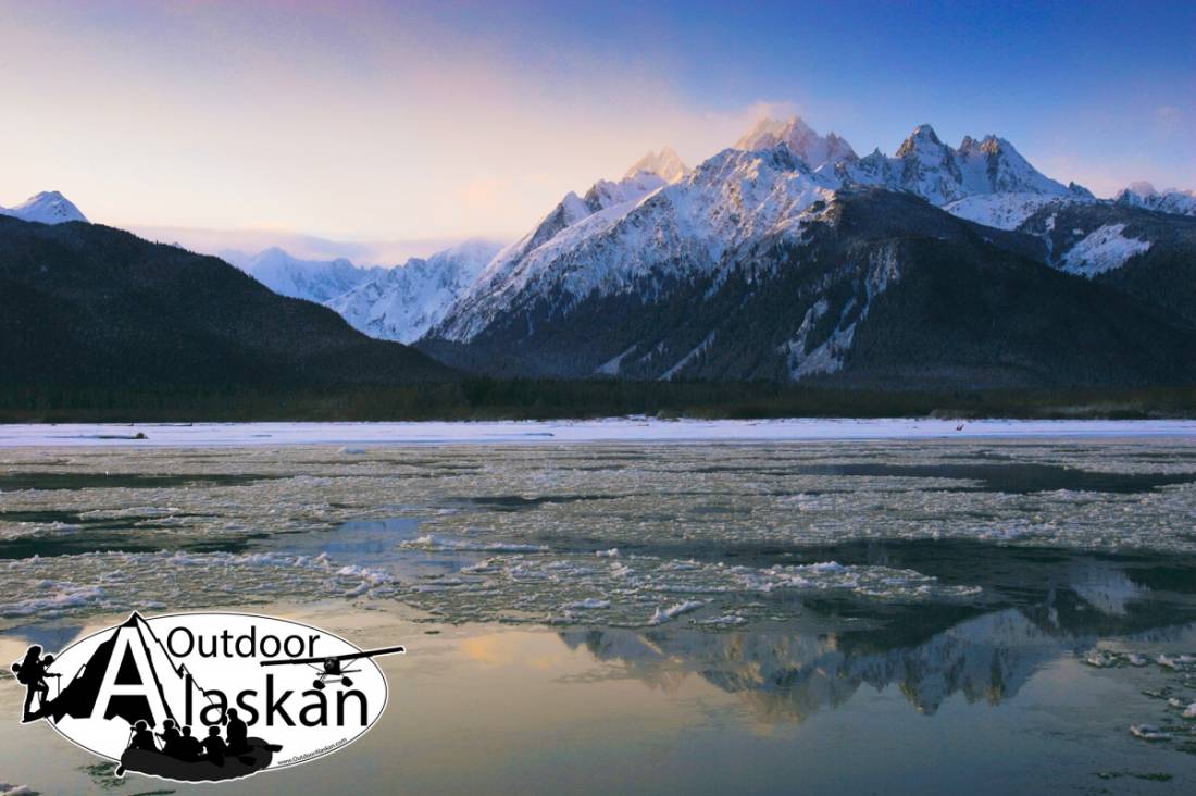
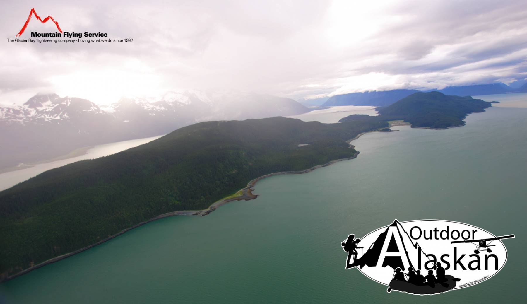
Heads at Chilkat Glacier, in Coast Mountains in British Columbia, flows south and southwest to head of Chilkat Inlet 1 mile southwest of Haines and 18 miles south-southwest of Skagway, St. Elias Mountains; 52 miles long.
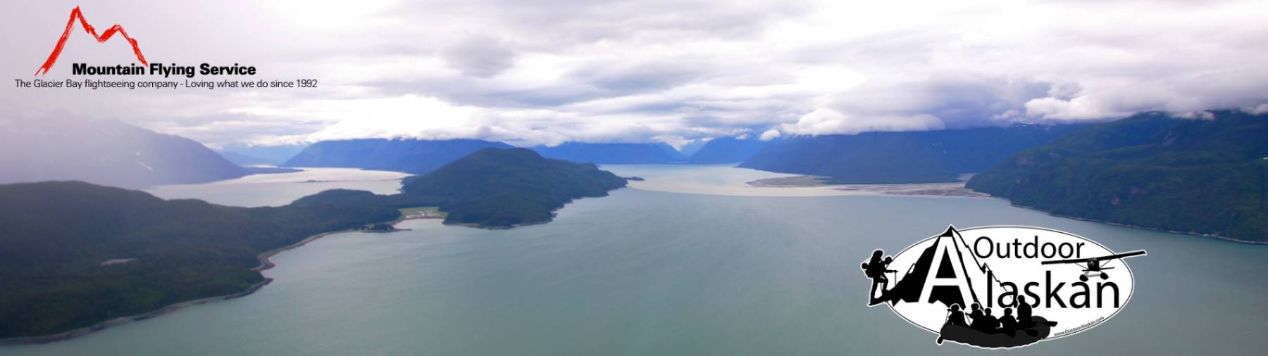
Chilkat River heads at Chilkat Glacier, and flows south and southwest 52 miles to the head of Chilkat Inlet, in upper Lynn Canal, one mile southwest of Haines.
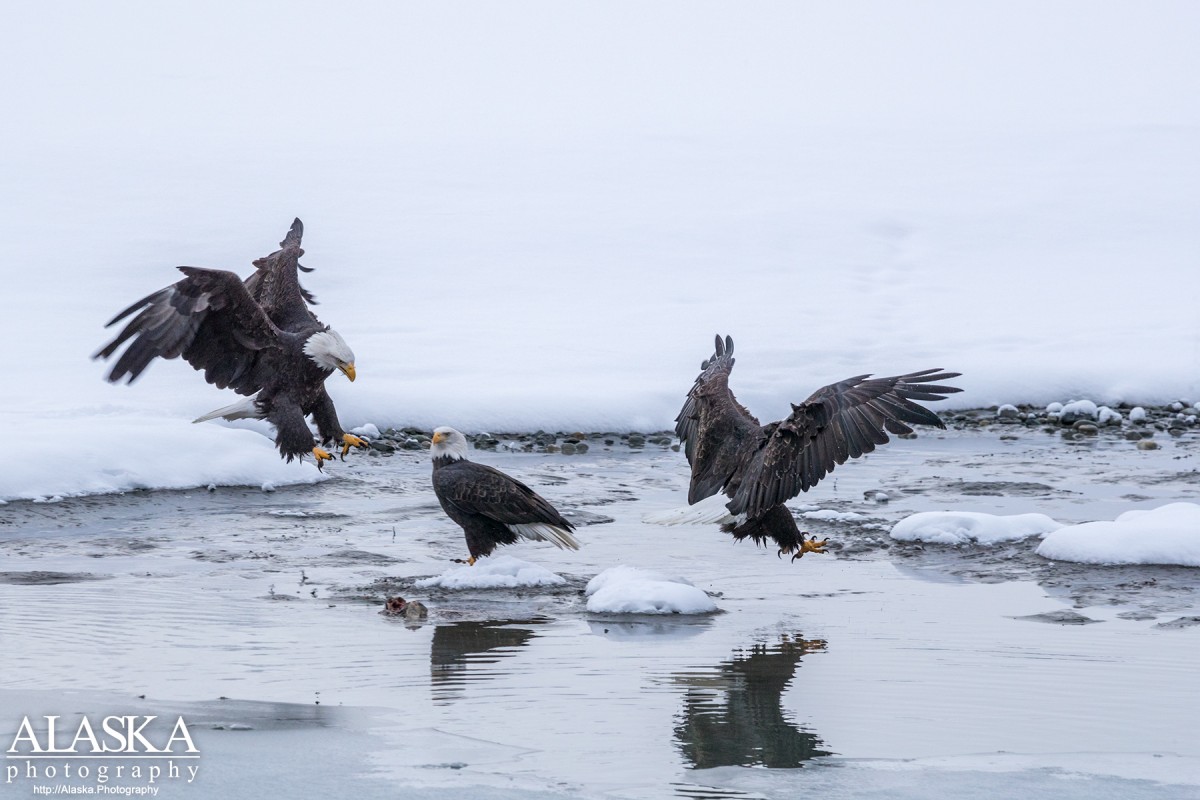
The Chilkat River passes through the Chilkat Bald Eagle Preserve, one of if not the largest bald eagle gatherings in the world. Each November the town of Haines holds the Bald Eagle Festival attracting people and photographers from all around the world.
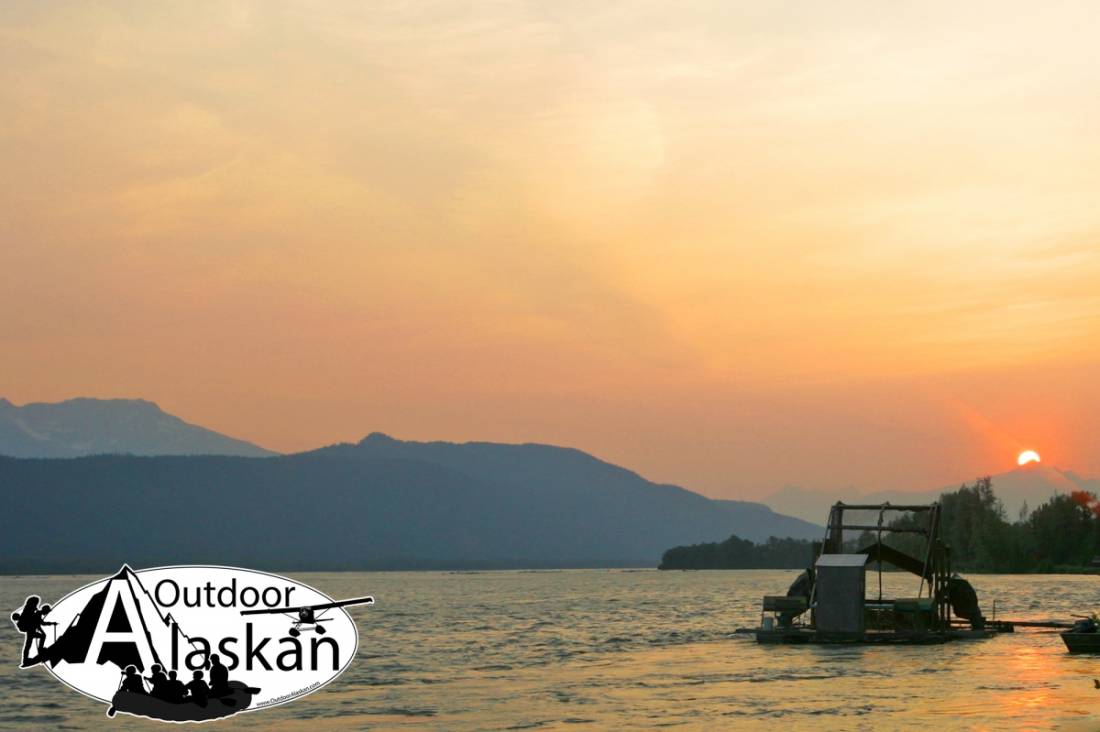
Chilkat River is a popular fishing destination, so much that during autumn holidays many Canadians drive down from Whitehorse, Canada to fish its waters. The river is also popular for summer rafting float trips and jet boat tours.
Chilkat Tlingits still live along the shores of the Chilkat River, most in the village of Klukwan, located 25 miles outside of Haines, along the Haines Highway.
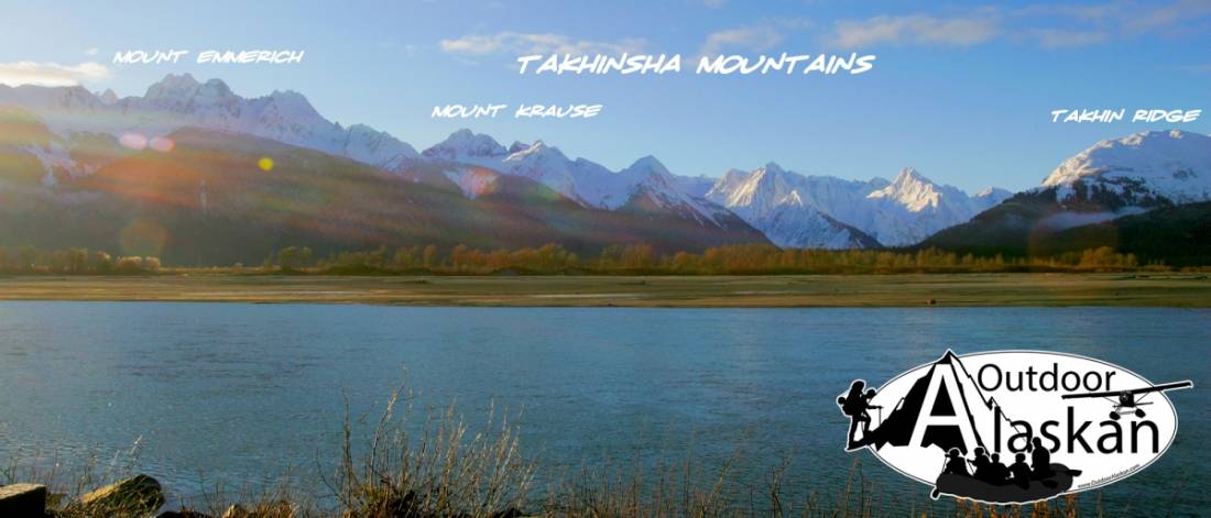
You can drive to Haines Haines or to Haines from Skagway or Juneau. Haines sits along the Chilkat River, and the Haines Highway follows the river for approximately 25 miles before crossing over it.
Road access further up the river can be obtained by driving down Mosquito Lake Road. Just past the right turn down to Mosquito Lake itself, there is a dirt road leading up to the left. Follow that to drive along the Chilkat until it turns and goes west along the Kelsall River.
Named by the Russians for the Chilkat tribe of Tlingit Indians living in this region. The Indian name "Tschilkathin" was reported by Aurel and Arthur Krause (1883, map).Naming The Chilkat River was named by Russians for Chilkat tribe of Tlingit natives that live along the river. The Tlingit name "Tschilkathïn" was reported by Aurel and Arthur Krause (1883, map).
Indian Rock, Jenkins Rock, Johnson Rock, McClellan Flats,
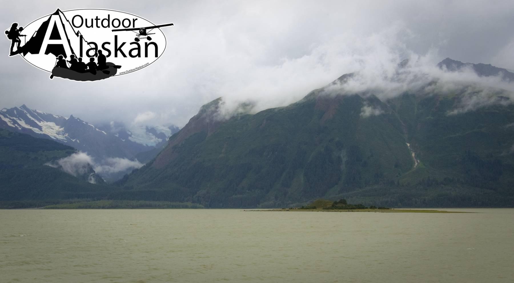
Bays:Carrs Cove, Chilkat Inlet, Chilkoot Inlet, Kalhagu Cove, Kelgaya Bay, Letnikof Cove, Lutak Inlet, Mud Bay, Paradise Cove, Portage Cove, Pyramid Harbor, Shiyi Bay, Taiya Inlet, Taiyasanka Harbor, Tanani Bay,
Beaches:Capes:Anchorage Point, Battery Point, Chilkat Peninsula, Dok Point, False Battery Point, Glacier Point, Green Point, Halutu Peninsula, Kaskulu Point, Kelgaya Point, Lehunua Point, Low Point, Nukdik Point, Seduction Point, Taiya Point, Tanani Point, Zimovia Point,
Cities:Dams:Haines Army Depot Water Supply Dam, Louie Nelson Homestead Dam,
Fictional Places:Glaciers:Davidson Glacier, Garrison Glacier, Rainbow Glacier, Schubee Glacier,
Islands:Anyaka Island, Dalasuga Island, Kochu Island, Lehunua Island, Pyramid Island, Shikosi Island, Talsani Island,
Lakes:Chilkoot Lake, Lily Lake, Paradise Lake, Rustabach Lake, Rutzebeck Lake,
Mountains:Cathedral Peak, Mount Gollum, Mount Harding, Mount Kashagnak, Mount Rice, Mount Riley, Mount Ripinski, Sullivan Mountain, Tukgahgo Mountain, Mount Villard,
Parks:Chilkat Islands State Marine Park, Chilkat State Park, Chilkoot Lake State Recreation Area,
Peaks:Lactic Acid Peak, Mount Mordor, Nelson Tower, Shakuseyi Peak,
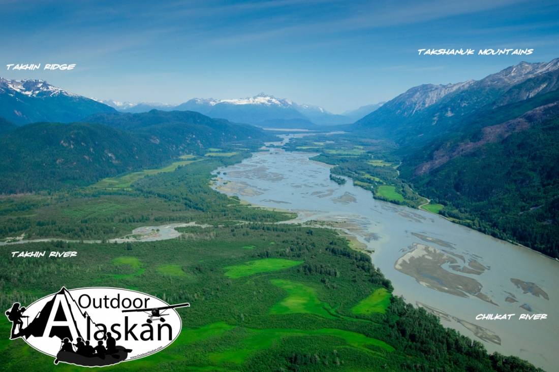
Ridges:Rivers:Chilkat River, Chilkoot River, Ferebee River, Glacier River, Katzehin River, Kicking Horse River, Takhin River,
Streams:Dayehas Creek, Haska Creek, Johnson Creek, Kasidaya Creek, Ludaseska Creek, Mink Creek, Shakuseyi Creek,
Routes:Mount Riley Trail, Battery Point Trail, Mount Ripinsky and 7 Mile Saddle Trail, Nahku Portage, Seduction Point Trail,
Valleys:Cities:Pictures of, from, or near Chilkat River.

Sorted by Most Common to Least Common Viewings
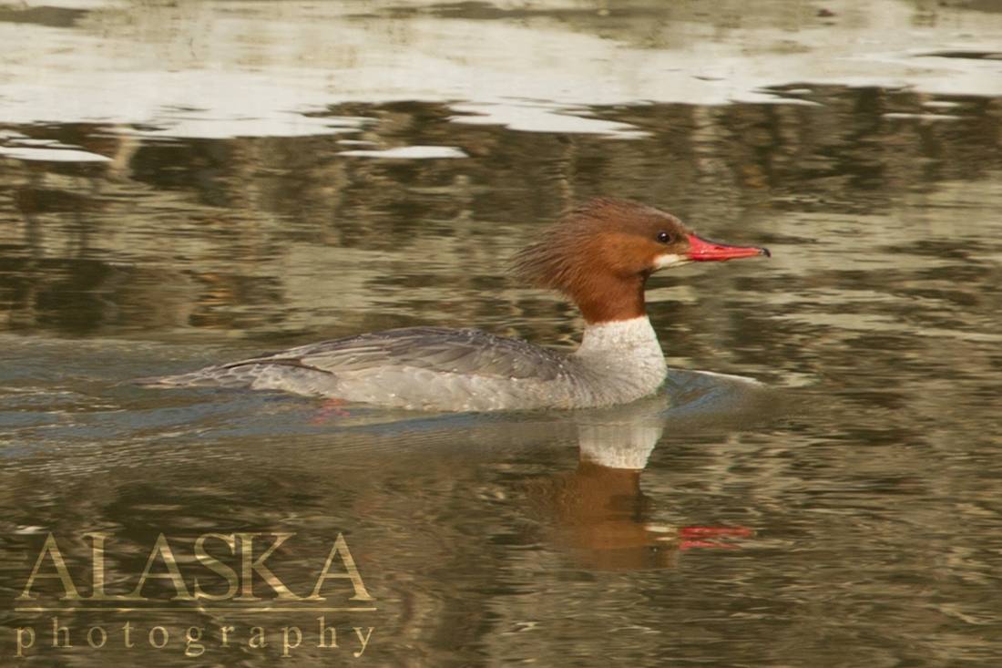
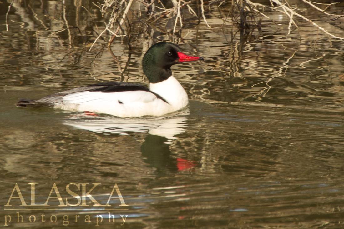
Surf Scoter, Northern Pintail, Mallard, Pectoral Sandpiper, Snow Goose, Semipalmated Sandpiper, Long-billed Dowitcher, Bald Eagle, Pigeon Guillemot, American Wigeon, Common Merganser, Lesser Scaup, Common Gull, Snow Bunting, Greater White-fronted Goose, Gadwall, Hudsonian Godwit, Pine Siskin, Trumpeter Swan, Green-winged Teal, Canvasback, Bufflehead, Dunlin, Short-billed Dowitcher, Barn Swallow, Northern Shoveler, Red-breasted Merganser, Least Sandpiper, Western Sandpiper, Varied Thrush, Greater Scaup, Horned Grebe, Black Oystercatcher, Red Knot, Lesser Yellowlegs, Arctic Tern, Black-billed Magpie, American Robin, Yellow-rumped Warbler, Blue-winged Teal, Cinnamon Teal, Harlequin Duck, Common Goldeneye, Barrow's Goldeneye, Rufous Hummingbird, Semipalmated Plover, Killdeer, Spotted Sandpiper, Parasitic Jaeger, Marbled Murrelet, Common Loon, Great Blue Heron, Northern Harrier, Warbling Vireo, Steller's Jay, Mountain Bluebird, Hermit Thrush, Buff-bellied Pipit, Red Crossbill, Aleutian Cackling Goose, Cackling Goose, Canada Goose, Tundra Swan, Eurasian Wigeon, Black-bellied Plover, Whimbrel, Marbled Godwit, Bonaparte's Gull, Herring Gull, Glaucous-winged Gull, Caspian tern, Pacific Loon, Osprey, Red-tailed Hawk, Rough-legged Hawk, Short-eared Owl, Belted Kingfisher, Red-breasted Sapsucker, Merlin, Western Wood-Pewee, American Crow, Common Raven, Chestnut-backed Chickadee, Tree Swallow, Violet-green Swallow, Ruby-crowned Kinglet, Golden-crowned Kinglet, Swainson's Thrush, Fox Sparrow, Dark-eyed Junco, Savannah Sparrow, Song Sparrow, Lincoln's Sparrow, Northern Waterthrush, Orange-crowned Warbler, Common Yellowthroat, Yellow Warbler, Townsend's Warbler, Wilson's Warbler, Rock Pigeon