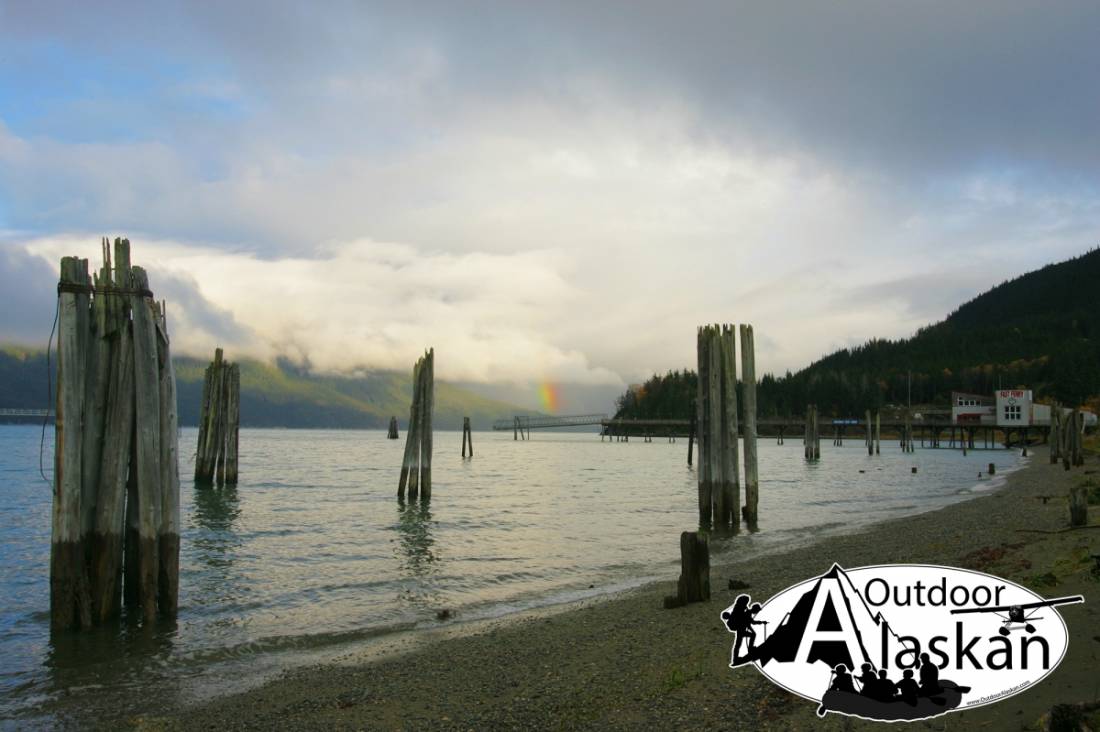
Port Chilkoot Gallery
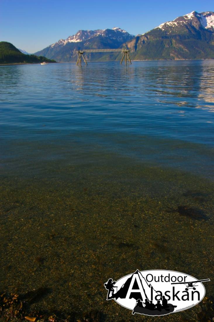
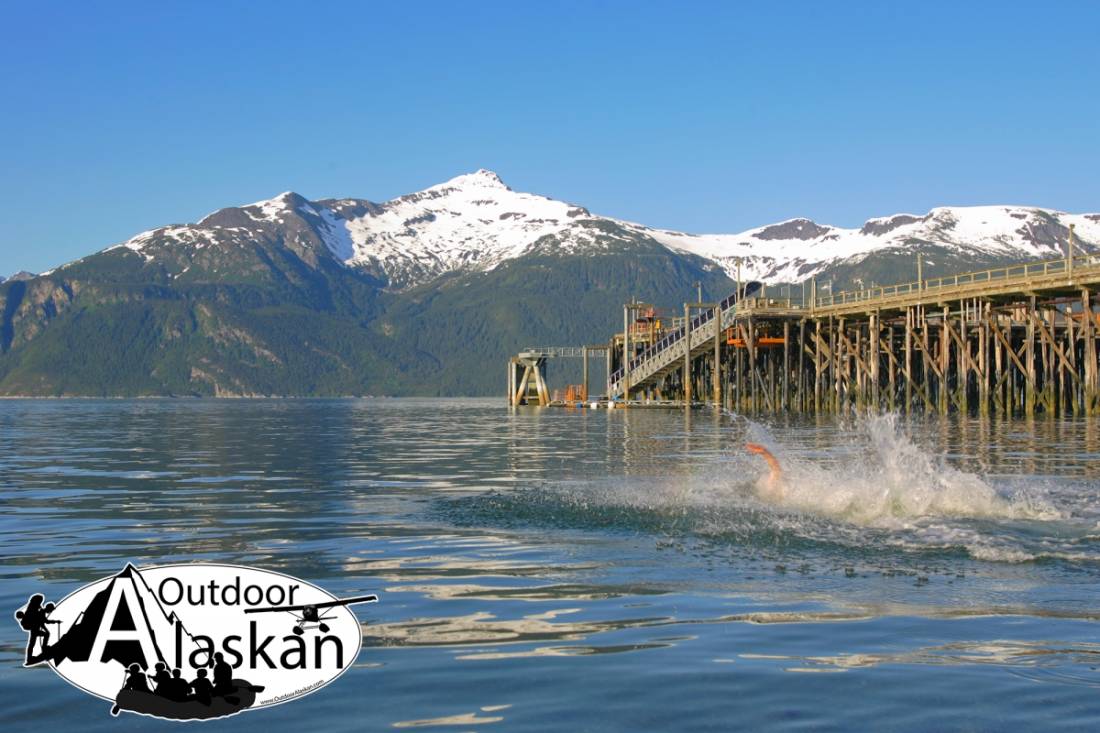
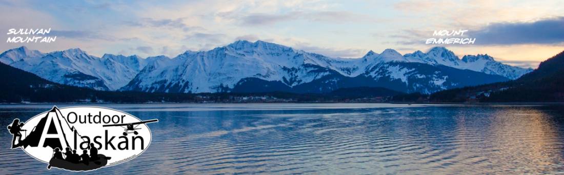
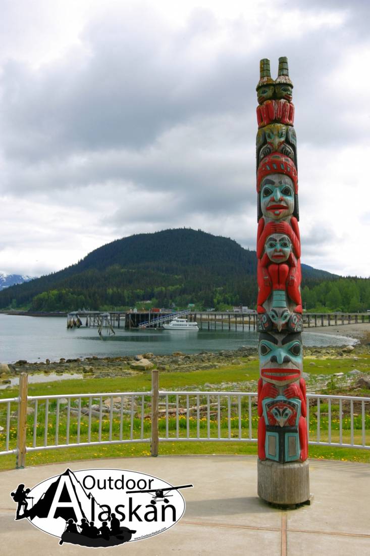
Pictures of, from, or near Port Chilkoot.
National Historic Landmark. Section of the City of Haines, 1.1 km (0.7 mi) S of Haines; former incorporated City of Port Chilkoot merged with Haines in March 1970, T 30 S, R 59 E, Copper River Mer.
Former incorporated City of Port Chilkoot merged with Haines in March 1970; originally named Fort William H. Seward in 1904 by the War Department; in 1922, the name was changed to Chilkoot Barracks for the Chilkoot Indian tribe; about 1943 private citizens purchased the land and renamed it Port Chilkoot. Established by Executive Order on December 31, 1898, and first known as Haines Mission, Fort Seward was the last of 11 military posts established in Alaska during the territory's gold rushes between 1897 and 1904. Founded for the purpose of preserving law and order among the gold seekers, the fort also provided a U.S. military presence in Alaska during boundary disputes with Canada. The only active military post in Alaska between 1925 and 1940, the fort was closed at the end of World War II. The City and Borough governments have merged and the comprehensive plan has been rewritten. The planning commission has incorporated the use of the Design Standards Guidelines as it reviews proposed projects to the histor
Indian Rock, Jenkins Rock, Johnson Rock, McClellan Flats,
Bays:Carrs Cove, Chilkat Inlet, Chilkoot Inlet, Kalhagu Cove, Kelgaya Bay, Letnikof Cove, Lutak Inlet, Mud Bay, Paradise Cove, Portage Cove, Pyramid Harbor, Shiyi Bay, Taiya Inlet, Taiyasanka Harbor, Tanani Bay,
Beaches:Capes:Anchorage Point, Battery Point, Chilkat Peninsula, Dok Point, False Battery Point, Glacier Point, Green Point, Halutu Peninsula, Kaskulu Point, Kelgaya Point, Lehunua Point, Low Point, Nukdik Point, Seduction Point, Taiya Point, Tanani Point, Zimovia Point,
Cities:Dams:Haines Army Depot Water Supply Dam, Louie Nelson Homestead Dam,
Fictional Places:Glaciers:Davidson Glacier, Rainbow Glacier, Schubee Glacier, Villard Glacier,
Islands:Anyaka Island, Dalasuga Island, Kataguni Island, Kochu Island, Lehunua Island, Pyramid Island, Shikosi Island, Talsani Island,
Lakes:Chilkoot Lake, Devils Punch Bowl, Lily Lake, Lower Dewey Lake, Paradise Lake, Rustabach Lake, Rutzebeck Lake, Upper Dewey Lake,
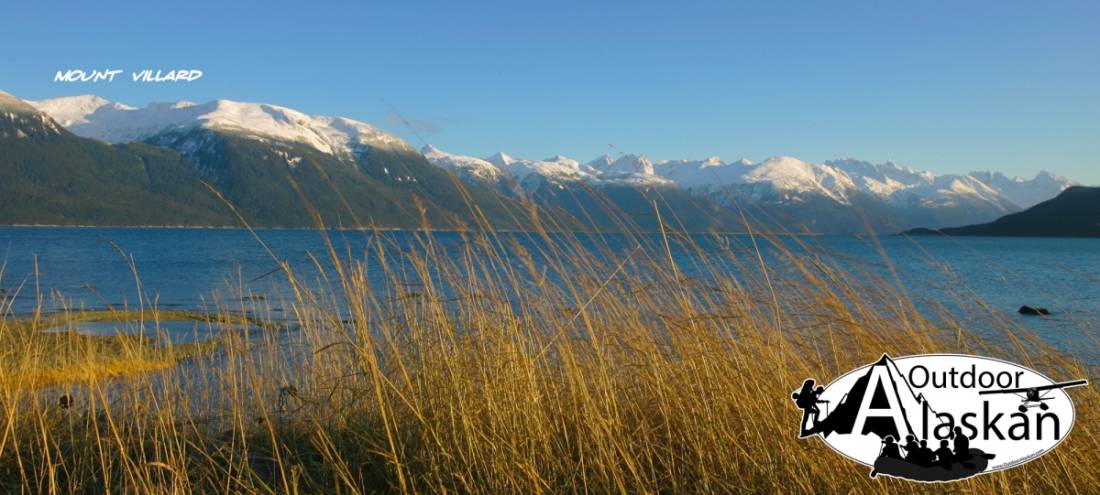
Mountains:Mount Gollum, Mount Harding, Mount Riley, Mount Ripinski, Sullivan Mountain, Tukgahgo Mountain, Mount Villard,
Parks:Chilkat Islands State Marine Park, Chilkat State Park, Chilkoot Lake State Recreation Area,
Peaks:Lactic Acid Peak, Mount Mordor, Nelson Tower, Shakuseyi Peak, Twin,
Ridges:Rivers:Chilkat River, Chilkoot River, Ferebee River, Glacier River, Katzehin River, Kicking Horse River,
Streams:Burro Creek, Dayehas Creek, Haska Creek, Johnson Creek, Johnson Creek, Kasidaya Creek, Ludaseska Creek, Mink Creek, Shakuseyi Creek, Snyder Creek, Yeldagalga Creek,
Routes:Mount Riley Trail, Battery Point Trail, Mount Ripinsky and 7 Mile Saddle Trail, Nahku Portage, Seduction Point Trail, Sturgill's Landing Trail,
Valleys:Cities:Pictures of, from, or near Port Chilkoot.