Valdez Gallery
Pictures of, from, or near Valdez.
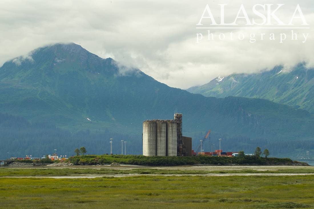
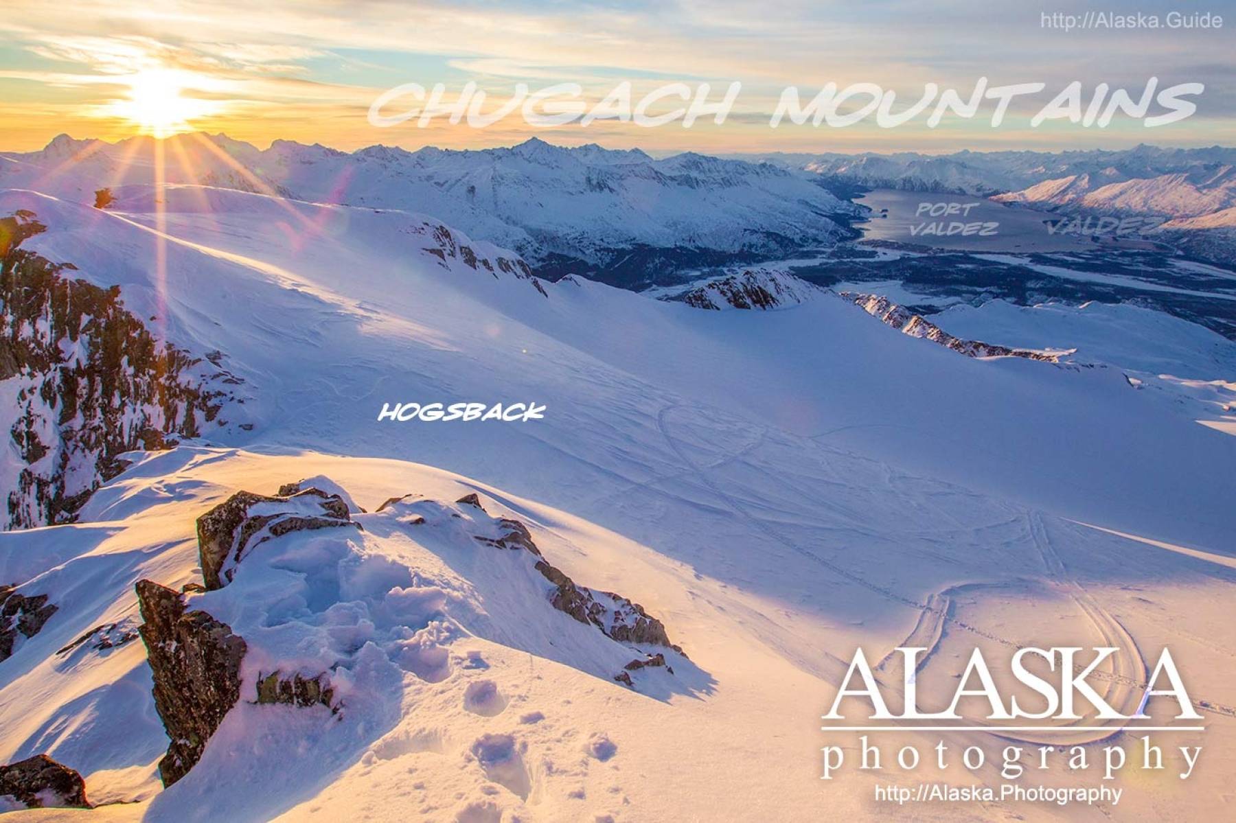
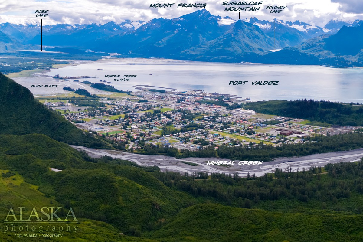
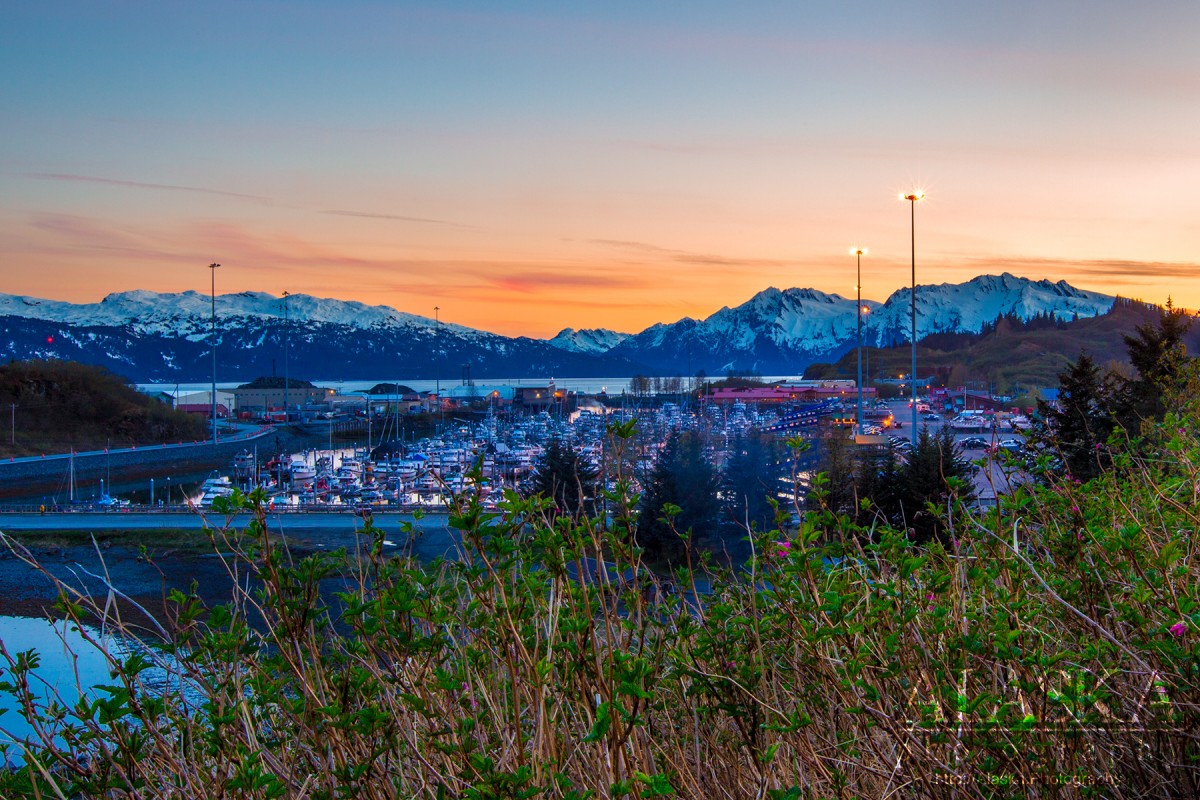
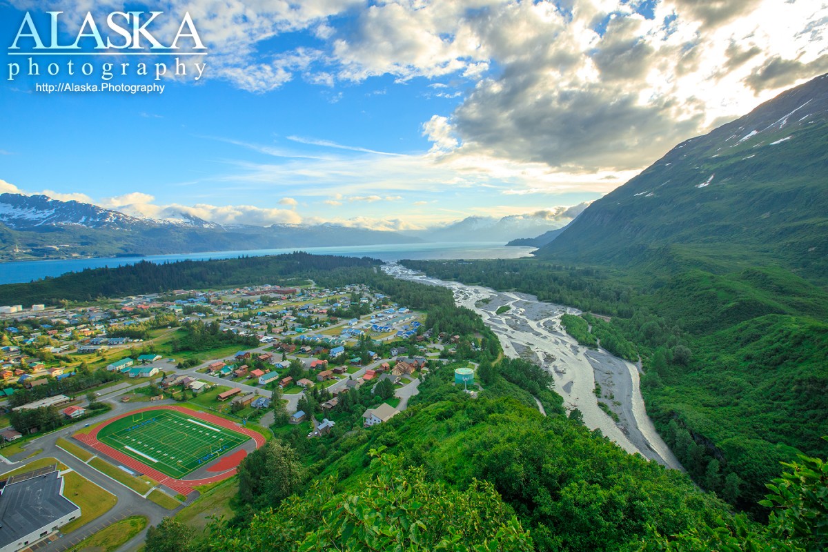
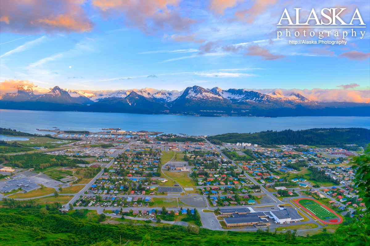
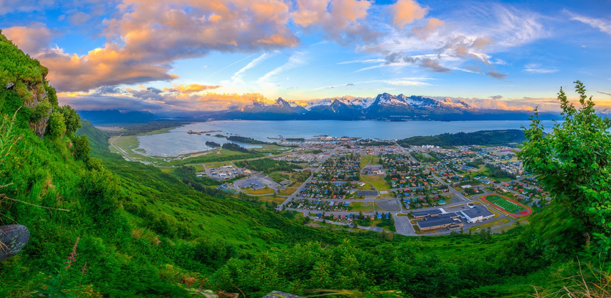
On E end of Port Valdez, 45 mi. NW of Cordova and 115 mi. E of Anchorage Chugach Mts.
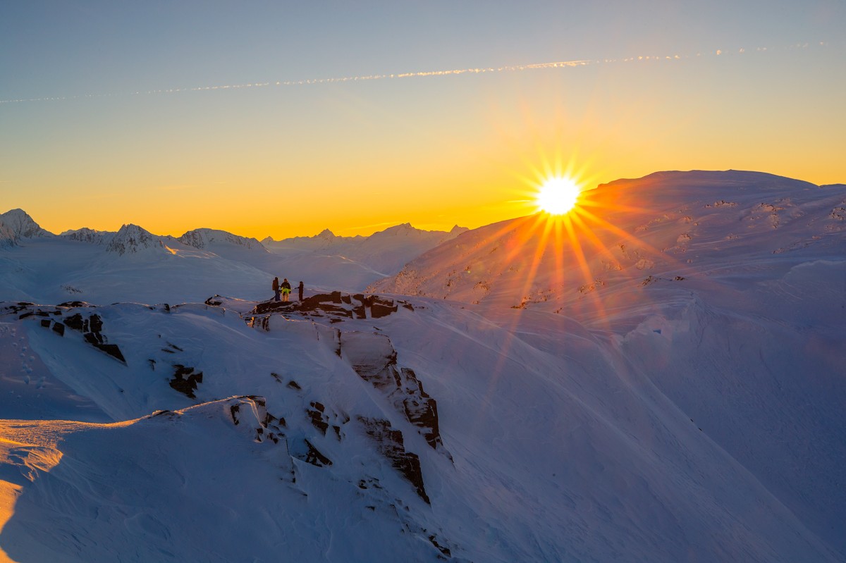
Valdez is a small remote town with one road in and out, most times the road is clear, however it can become heavily fogged in on Thompson Pass. It is still somewhat of a hidden gem for outdoor activities. Valdez offers a bit of everything and a lot of certain things, all while offering amazing landscape and scenery.
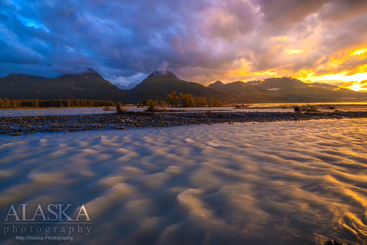
Much of Valdez current tourism is heli-skiing, and fishing. There are small cruise operations that offer tours out to the tidal glaciers like Columbia Glacier and Meares Glacier.
As for accommodations, there are a few options in the off season (mid Sept-May) and much more in summer. There are several RV parks, hotels, motels, as well as a few places for camping. The town only has one grocery store, a Safeway, and one chain food store, a Subway. There are a few restraunts open year round and many open in summer.
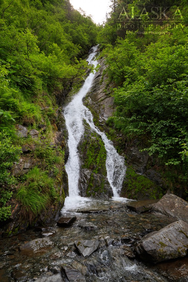
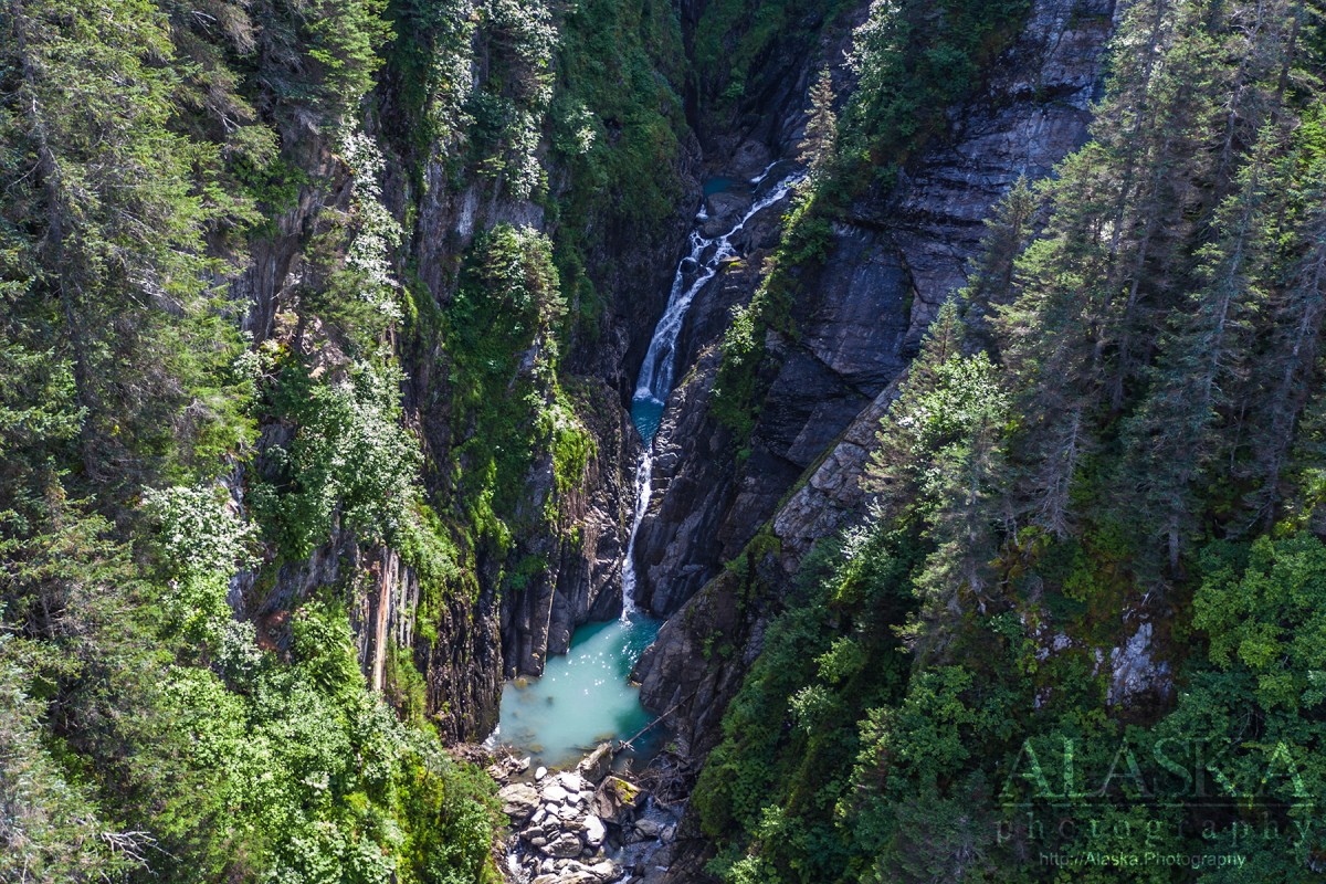
Ice Climbing: Valdez has many places for ice climbing including; Keystone Canyon, Bridal Veil Falls, Greensteps, Simple Twist of Fate, POS, Hung Jury, Horsetail Falls, Mud Slide, Plastic Jesus, Valdez Glacier, Worthington Glacier, Foolagain, and many more locations.
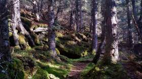
Hiking Trails: Valdez has a lot of areas where one can bush whack to make their way to new places. But there are also many hiking trails. Popular ones include Shoup Bay Trail, Dock Point Trail, Goat and Wagon Road Trail, High School Hill Trail, John Hunter Memorial Trail (Solomon Gulch), Keystone Canyon Pack Trail, Mineral Creek Trail.
Rock Climbing
Valdez has over 100 climbing routes though, we don't have them all in our database yet. Popular ones include campground wall located near the campground by the airport and Blueberry Lake on Thompson Pass, as well as routes on the rock along Worthington Glacier.
Kayaking/Canoeing/Rafting
Port Valdez offers great kayaking from town to Shoup Bay, and the Shoup Glacier and some of the guiding outfits offer longer tours out in Prince William Sound. Another popular kayaking/canoeing destination is the icebergs and Valdez Glacier.
Rafting, packrafting, white water kayaking, include Valdez Glacier Stream and the obvious choice Lowe River, especially as it flows through Keystone Canyon.
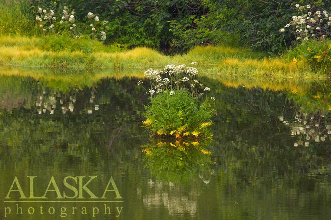
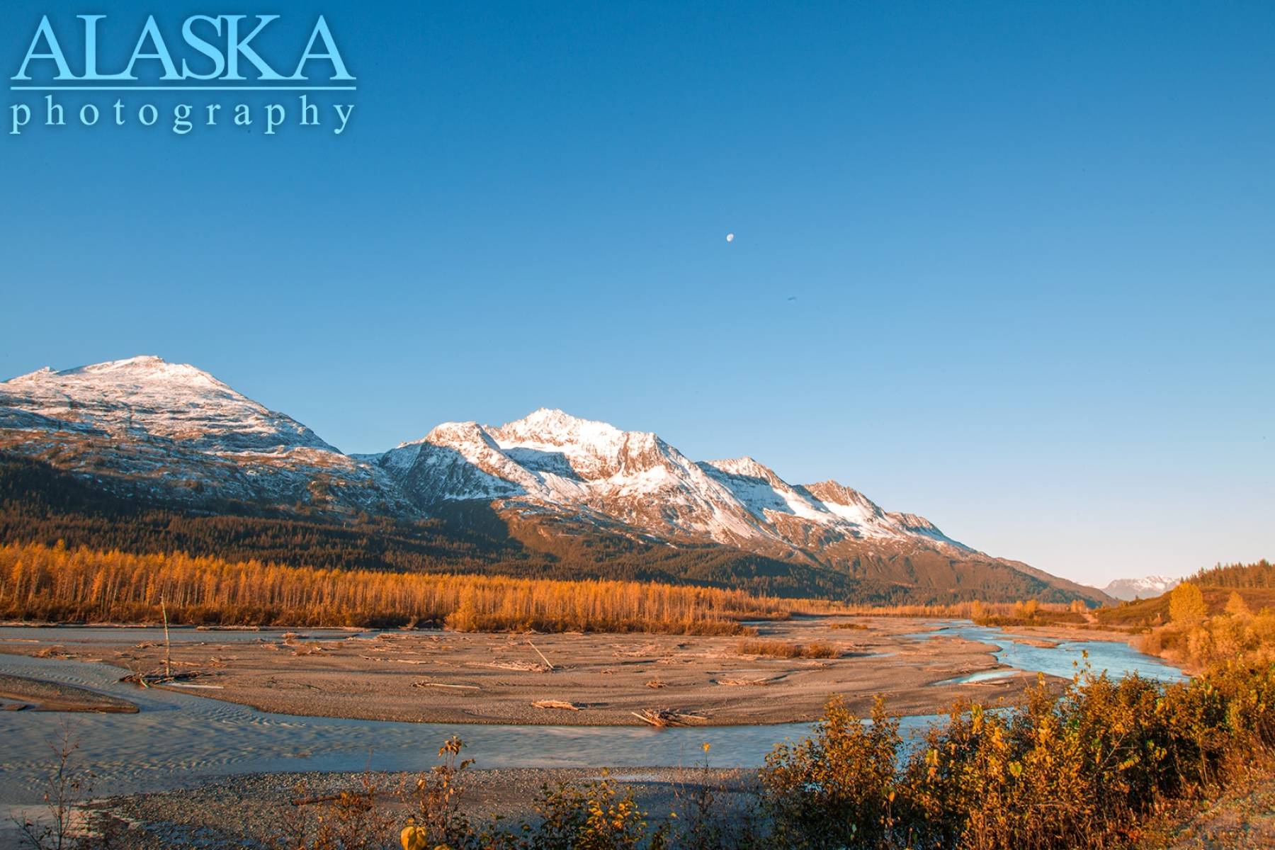
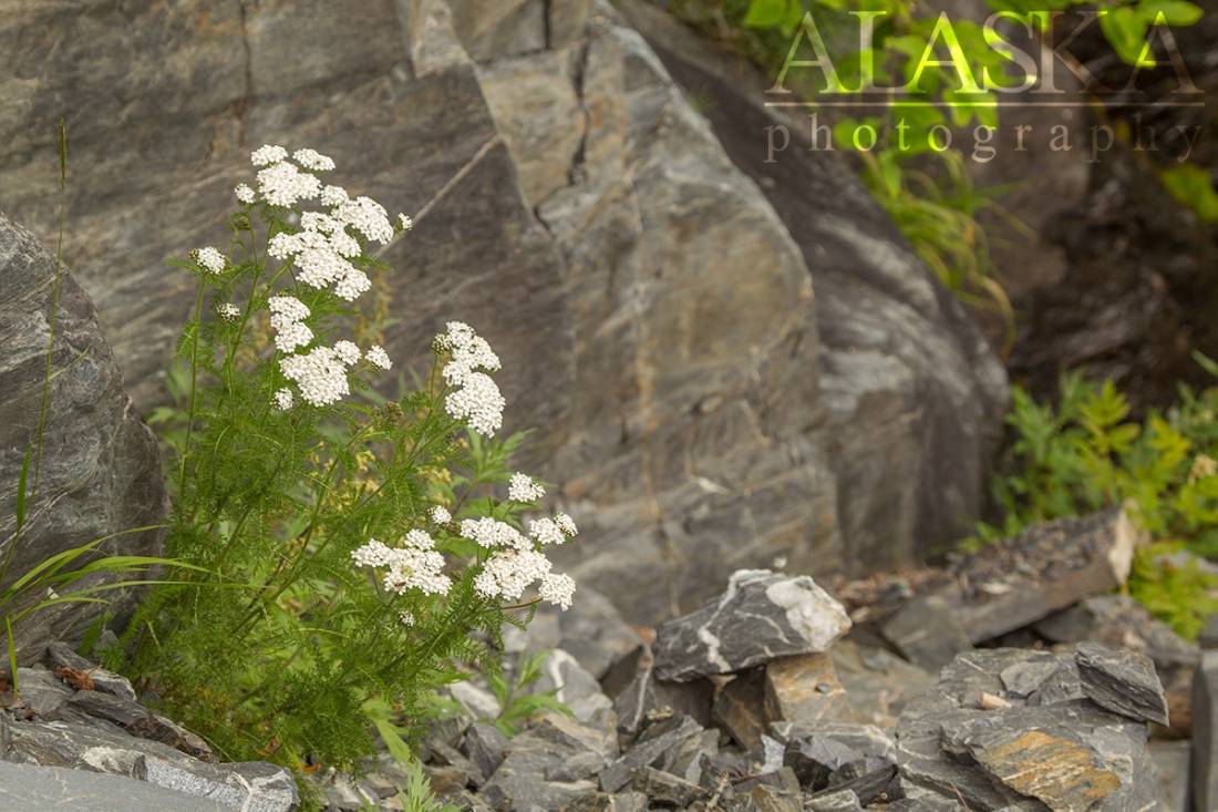
Our friends at Alaska Photography are based out of Valdez.
There are direct flights to Valdez twice a day, weather permitting. Ravn Alaska is the only scheduled air service to Valdez.
Valdez is also part of the Alaska Marine Highway (ferry system), and can be accessed from Whittier.
However most people come to Valdez from driving down the Richardson Highway.
Town established in 1898 as a debarkation point, with an excellent ice-harbor, for men seeking a route to the Klondik gold region. It was originally called "Copper City" but name was changed when the Valdez post office was established in 1899. Valdez soon became the supply center of its own gold mining region. The town is located on the distributary delta of Valdez Glacier, and was severly damaged during the 1964 Good Friday earthquake (plans are being made to move the town to more stable ground three miles northwest.) The population was 315 in 1900; 810 in 1910; 466 in 1920; 442 in 1930; 529 in 1939; and 554 in 1950.Valdez was established in 1898 as a debarkation point, with an excellent ice-free harbor, for men seeking a route to the Klondike gold region. It was originally called "Copper City" but the name was changed once the Valdez post office was established in 1899. Likely named after Port Valdez named on June 16, 1790, by Don Salvador Fidalgo, after a Spanish naval officer, Antonio Valdes. Valdez soon became the supply center of its own gold mining region. The town was located on distributary delta of Valdez Glacier, and was severely damaged during the 1964 Good Friday earthquake.
The part of Valdez is now referred to as Old Valdez. There is not much left of Old Valdez other than a few foundations and dock pilings out in the beach.
Present day Valdez was built on land donated by descendants of George Cheever Hazelet and Jack Meals. Two men who arrived in Valdez on March 8, 1898, later to for the Port Valdez Investment Co, and homesteaded 654 acres in 1901. Of this original 654 acres, 140 were donated to become present day Valdez. Three of the two men's sons actively participated in the recovery effort, representing almost 100 descendants.
Exxon Valdez
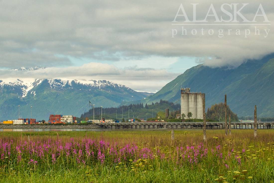
Valdez is also known for the TAPS/Alyeska terminal which is the end of the line for the Alaska Pipeline which sends oil from the top of Alaska, near the arctic ocean, down to Valdez. In 1985 the ship the Exxon Valdez, spilt oil in Prince William Sound soon after leaving Valdez. No remnants of the spill remain.
Post Y2K
In the January 2014 the road was completely cutoff just before entering Keystone Canyon when a major avalanche traveled down Snowslide Gulch covering the Lowe River and Richardson Highway.
Anderson Bay, The Lagoon, Port Valdez,
Capes:Allison Point, Dock Point, Jackson Point,
Caves:Cities:Crags:Valdez Glacier Campground Wall, Lookout Rock, Panorama Point,
Dams:Solomon Gulch Dam A, Solomon Gulch Dam B, Solomon Lake Dam,
Flats:Glaciers:Glacier G213478E61182N, Allison Glacier, Area 51 Glacier, Glacier G213498E61160N, Glacier G213500E61175N, Glacier G213550E61021N, Glacier G213583E61167N, Glacier G213585E61165N, Glacier G213585E61165N, Glacier G213602E61200N, Glacier G213603E61218N, Glacier G213614E61180N, Glacier G213653E61264N, Glacier G213685E61168N, Glacier G213687E60954N, Glacier G213708E60993N, Glacier G213722E60985N, Glacier G213723E61170N, Glacier G213727E61240N, Glacier G213737E60948N, Glacier G213739E61247N, Glacier G213740E61167N, Glacier G213742E61233N, Glacier G213749E60966N, Glacier G213750E61221N, Glacier G213756E61212N, Glacier G213756E61263N, Glacier G213766E60924N, Glacier G213767E61200N, Glacier G213767E61245N, Glacier G213770E61226N, Glacier G213775E60940N, Glacier G213777E61166N, Glacier G213778E61174N, Glacier G213780E61222N, Glacier G213780E61222N, Glacier G213783E60980N, Glacier G213784E61033N, Glacier G213788E60991N, Glacier G213798E61012N, Glacier G213804E61037N, Glacier G213821E60955N, Glacier G213835E60986N, Glacier G213860E61028N, G-g-g-g-g Glacier, Johnson Glacier, Kate Glacier, Mineral Creek Glacier, Salmon Creek Glacier, Shoup Glacier, Valdez Glacier,
Hills:Routes:Blue Horizons, Excalibur, Gravy Tran, Kayaker's Delight, Necromancer, Peggy's Mane, Wowie Zowie,
Islands:Ammunition Island, Mineral Creek Islands,
Lakes:Allison Lake, Robe Lake, Silver Lake, Solomon Gulch Lake, Solomon Lake, Solomon Lake, Valdez Glacier Lake,
Locales:Airport Chute, Alaska Guide Company - Office, Area 51, Basin Cove, Cabell Chute, Chuck Chute, Chuck Junior, Delta Chute, Grant Chute, Jago Chute, Lookout Bowl, Lucky 13, Runner's Delight, Sentinel, Sheepshead Chute, Tombstone Wall,
Mine:Big Four Mine, Cash Mine, Giant Mine, Hercules Mine, Johnson Mine, Midas Mine,
Mountains:Mount Francis, Mount Kate, Mount Logan, Mount Hogan, Mummy Mountain, Mount Schrader, Mount Shouplina, Sugarloaf Mountain, West Peak,
Peaks:Benzene, Bob's Knob, Comstock, Embick, High Back, Mile High Peak, Snow Dome, Titan Chair,
Rivers:Duck River, Lowe River, Robe River,
Routes:Lazy Days, No Floss Necessary, Route number 1, Route number 3, Trim the Bush, Wet Finish,
Routes:Already Herd, Bicentennial, Bongo That Bitch, Brand New, Canadian Heat Wave, Cotter Unlimited, Danger Stranger, Dragon's Teeth, Dynosaur, The Firing Line, Gusel Jugs, Harristotle, Kentner's Mill, Leaf BlowersL, Ledgeway to Sleven, Lefty Lucy, People Get Up And Drive Your Funky Soul, Quartzsite's Strike, Reacharound, Redheaded Stepchild, Righty Tighty, Route number 2, Slabawooke, The Nose Knows, Your Favorite Weapon,
Streams:Abercrombie Creek, Allison Creek, Brevier Creek, Camicia Creek, Corbin Creek, Crooked Creek, Dayville Creek, East Fork Mineral Creek, Glacier Creek, Gold Creek, Horsetail Creek, Mineral Creek, Salmon Creek, Sawmill Creek, Slater Creek, Valdez Glacier Stream, Wood Creek,
Routes:Area 51 Access Trail, Dayville Power Line Trail, Dock Point Trail, East Peak Access Trail, Mount Francis Winter Trail, High School Hill, High School Hill to Summit Trail, High School Hill Water Tower Trail, Hogsback Trail, Homestead Trail, John Hunter Memorial Trail, Levee to Valdez Glacier Trail, Lost Toque Trail, Mineral Creek East Trail, Mineral Creek Stamp Mill Trail, Mineral Creek West Trail, Northern Robe Lake Trail, River Drive Trail, Robe River Hogsback Access Trail, Shoup Bay Trail, Solomon Gulch Valdez Overlook Spur, Southern Robe Lake Trail, Valdez Bike Path, Valdez Overlook Trail,
Valleys:Abercrombie Gulch, Solomon Gulch, Sulphide Gulch,
Cities:Pictures of, from, or near Valdez.


Sorted by Most Common to Least Common Viewings
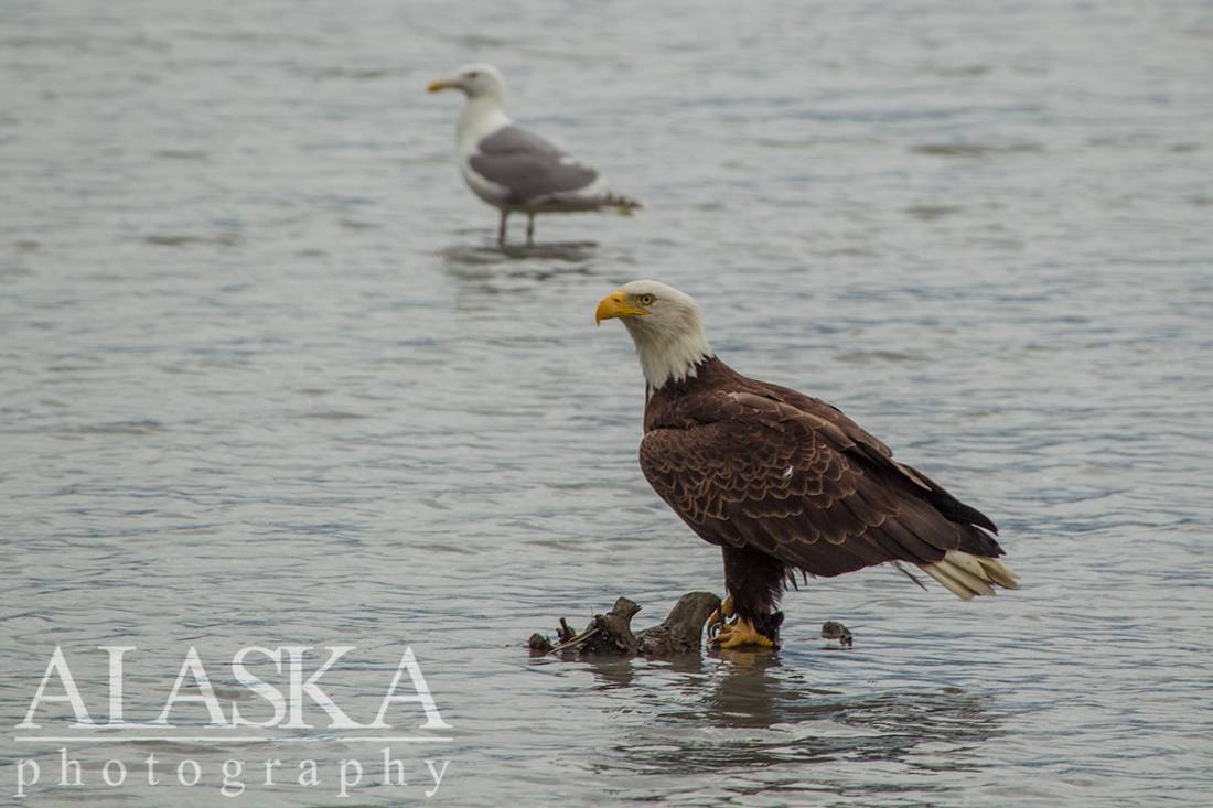
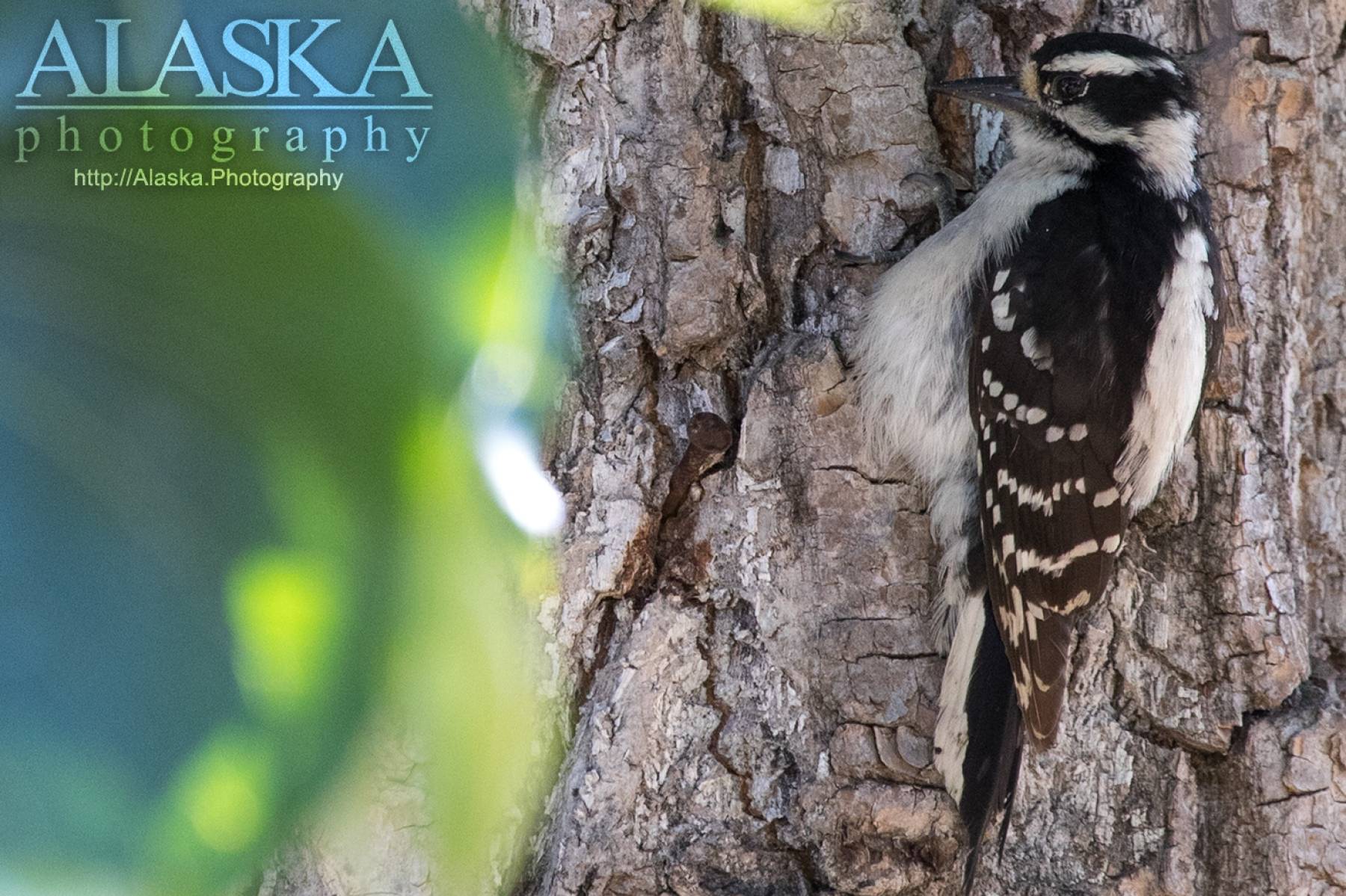
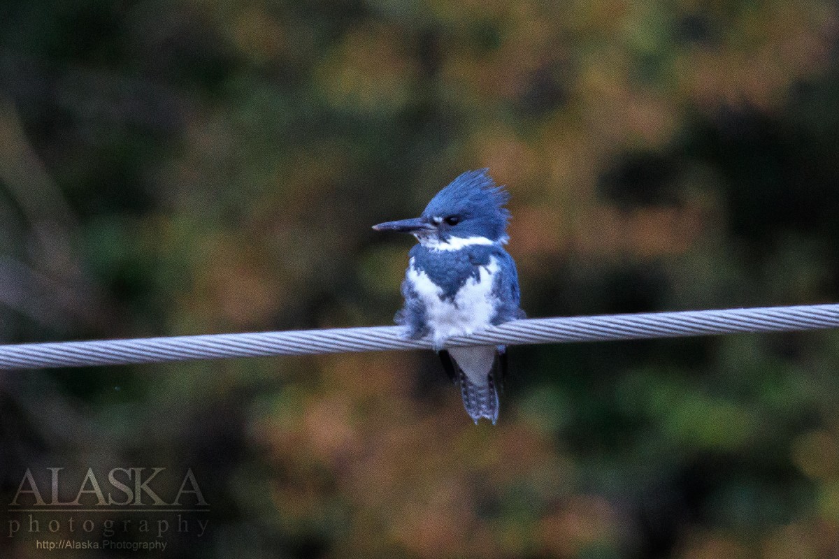
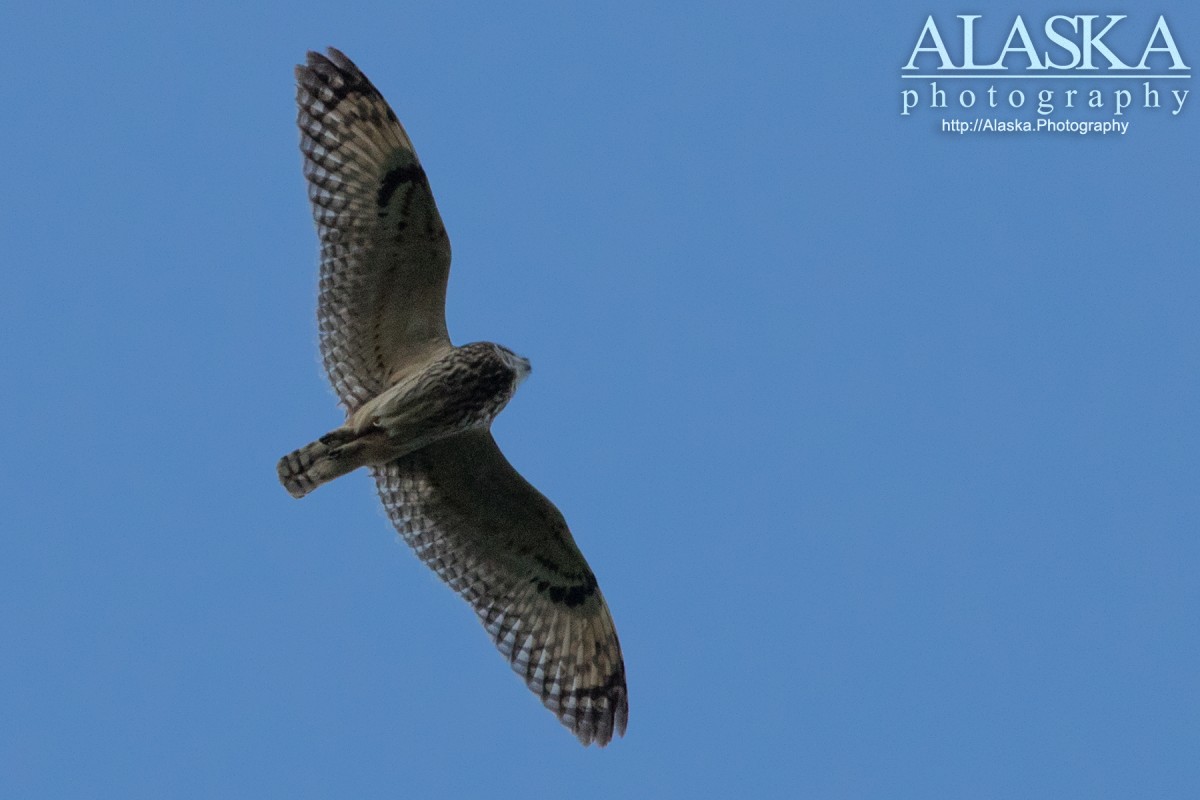
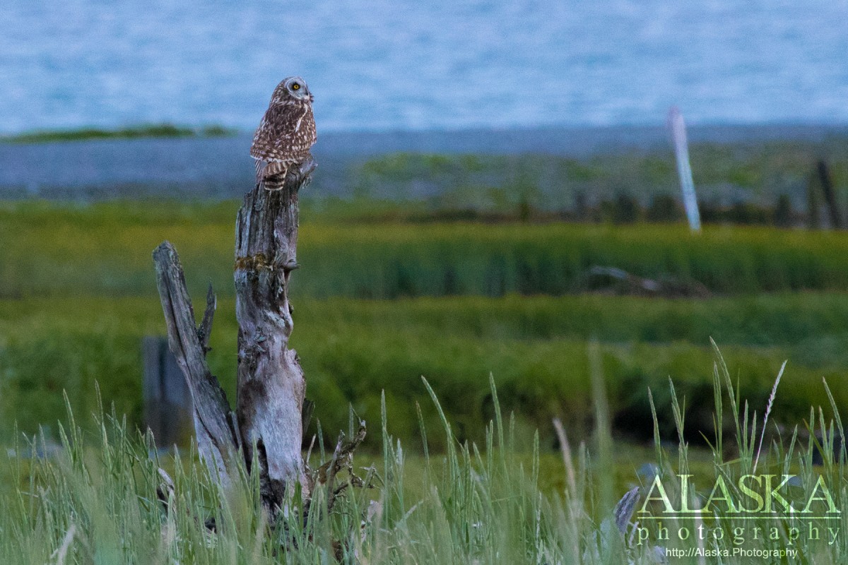
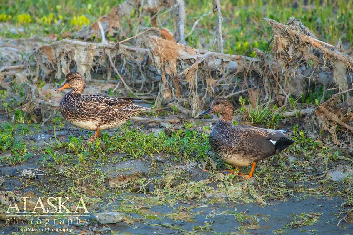
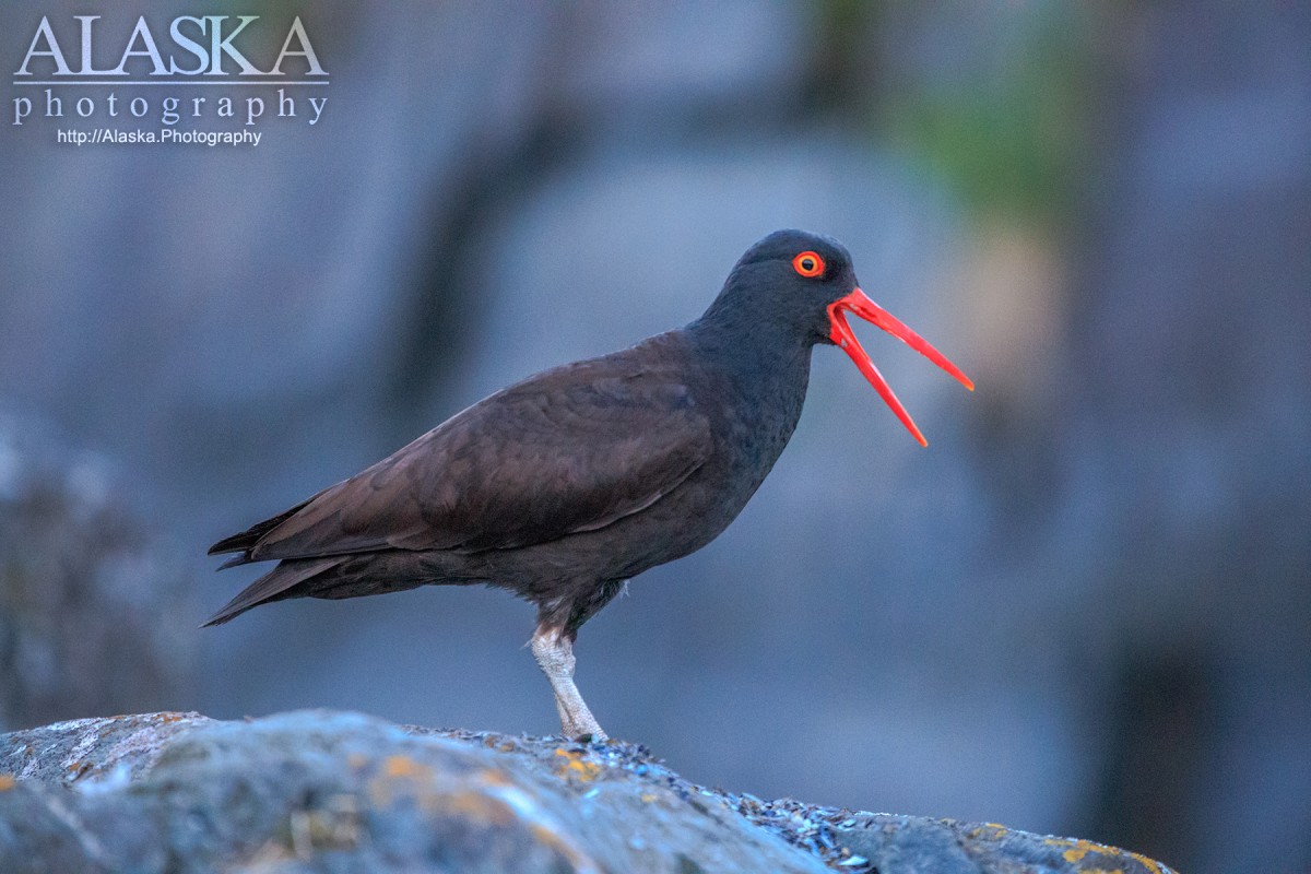
Herring Gull, Green-winged Teal, Surf Scoter, Bald Eagle, Tundra Swan, Canada Goose, Arctic Tern, American Crow, Common Raven, Common Gull, Dunlin, Semipalmated Plover, Bonaparte's Gull, Great Blue Heron, Bufflehead, Tree Swallow, Least Sandpiper, Harlequin Duck, Semipalmated Sandpiper, Mallard, Orange-crowned Warbler, Steller's Jay, Belted Kingfisher, Buff-bellied Pipit, Lesser Scaup, Western Sandpiper, Gadwall, Black Scoter, Eurasian Wigeon, Barrow's Goldeneye, Common Merganser, Black-legged Kittiwake, Blue-winged Teal, American Kestrel, Boreal Owl, Northern Pintail, Great Horned Owl, American Robin, Short-eared Owl, Black Oystercatcher, Rufous Hummingbird, Common Goldeneye, Ruby-crowned Kinglet, Cackling Goose, Redhead, Long-billed Dowitcher, Trumpeter Swan, Greater White-fronted Goose, Pacific Loon, Song Sparrow, Hairy Woodpecker, Downy Woodpecker, Pine Siskin, Violet-green Swallow, Golden Eagle, Glaucous-winged Gull, Fox Sparrow, Golden-crowned Sparrow, American Tree Sparrow, Black-billed Magpie, Dark-eyed Junco, White-winged Crossbill, Common Redpoll, American Wigeon, Greater Scaup, Long-tailed Duck, Double-crested Cormorant, Marbled Murrelet, Varied Thrush, Wilson's Snipe, Fork-tailed Storm-petrel, Northern Shoveler, White-winged Scoter, Peregrine Falcon, Sandhill Crane, American Dipper, Chestnut-backed Chickadee, Common Loon, Yellow-billed Loon, Red-throated Loon, White-crowned Sparrow, Caspian tern, Greater Yellowlegs, Golden-crowned Kinglet, Red-breasted Merganser, Horned Grebe, Pelagic Cormorant, Common Murre, Red-necked Grebe, Pigeon Guillemot, Pacific Wren, Red Crossbill, Spotted Sandpiper, Hermit Thrush, Ring-necked Duck, Steller's Sea Eagle, Northern Harrier, Wandering Tattler, Kittlitz's Murrelet, Cliff Swallow, Gray-cheeked Thrush, Yellow Warbler, Townsend's Warbler, Wilson's Warbler
The Valdez Trail of 1899 is a gem, but I only rarely see other people on it. It takes you through a series of different ecosystems from mossy forest to alpine tundra. The trail is generally kept in very good shape, with just one real muddy spot towards the southern end. It also has historic significance. It follows the pack trail the Army Corps of Engineers built between 1899 and 1901 between the ocean and the interior. There are four trailheads along the Richardson Highway: at 12 mile, 14 mile, 20 mile, and 26 mile, giving hikers a range of options. Technically, the southern end is the "Pack Trail of 1899"Â and the northern end is the "Wagon Road of 1898," but it all feels like one trail to me.