Columbia Glacier Gallery
Pictures of, from, or near Columbia Glacier.
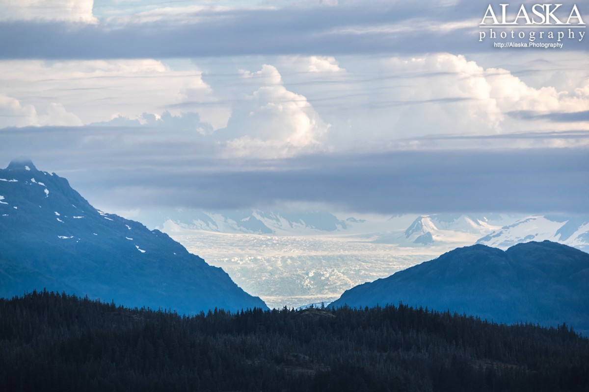
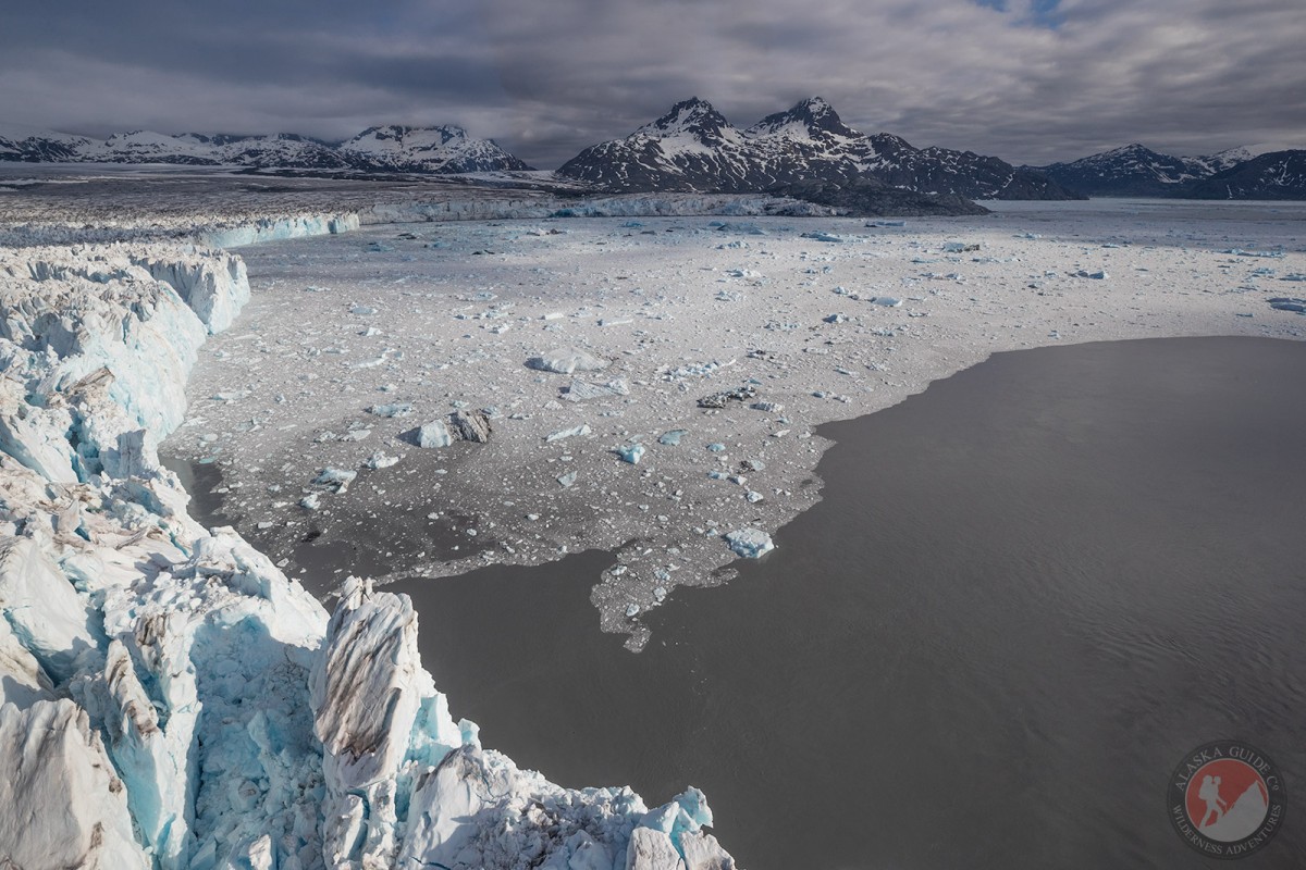
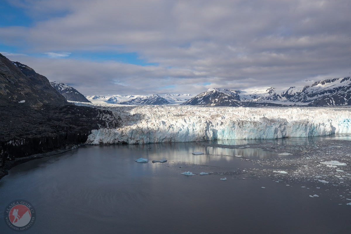
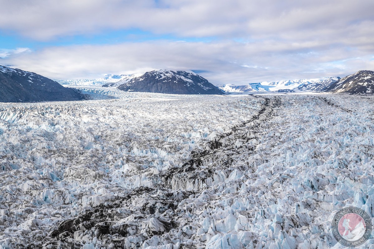
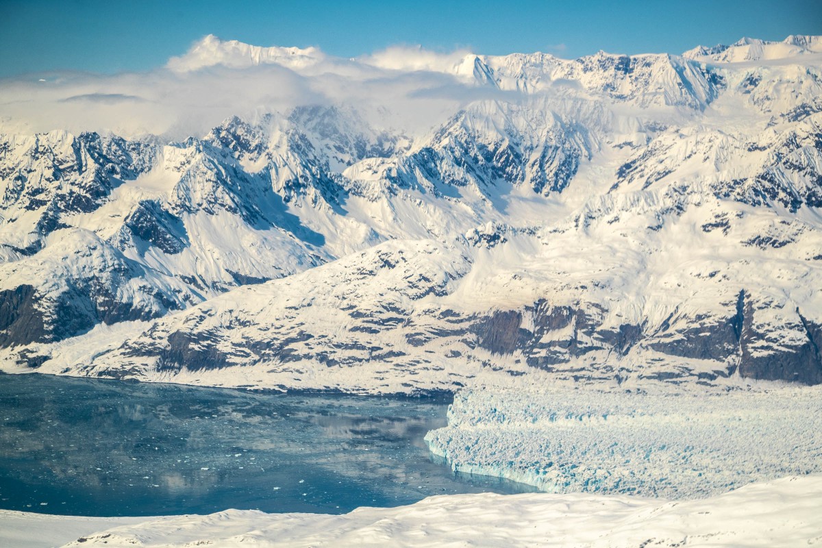
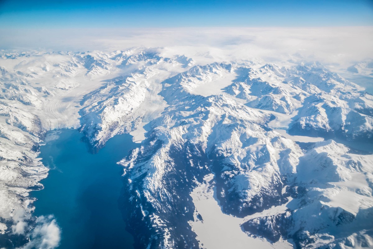
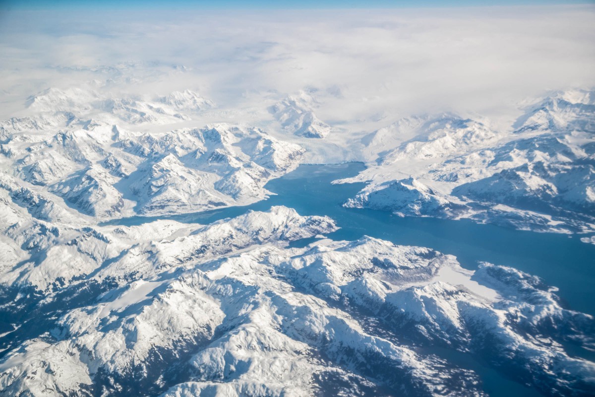
Columbia Glacier is a large tidewater glacier that is rapidly retreating. In 2014, due to the thinning of the glacier, it lost its footing along the seabed and assisted in the acceleration of its calving. Annual loss of ice contributes to nearly half of glacier ice loss in the Chugach Mountains.
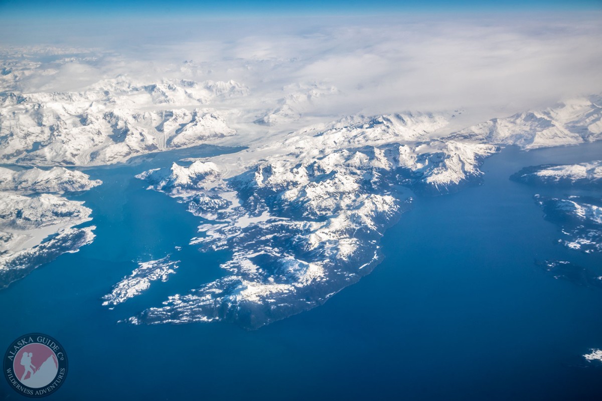
Columbia Glacier can easily be reached out of Valdez on a day cruise tour or possible helicopter charter.
Named by the Harriman expedition in 1899.
Anderson Glacier, Annin Glacier, Columbia Glacier, East Branch Columbia Glacier (not official), Second Branch Columbia Glacier (not official), Ted Stevens Icefield, Westbrook Glacier,
Lakes:Boreas Lake, Devish Lake, Lake Number 1, Lake Number One,
Mountains:Blackcliff Mountain, Mount Einstein, Flandreau Mountain, Flat Top Peak, Great Nunatak, Mount Haley, Mount Langmuir, Madean Peak, Pandora Peak, Pilot Peak, Mount Powder Top, Sharkstooth Mountain, Tazlina Tower, Mount Thomas,
Parks:Sawmill Bay State Marine Park,
Mountain Passes:Ridges:Rivers:Streams:Pictures of, from, or near Columbia Glacier.