Meares Glacier Gallery
Pictures of, from, or near Meares Glacier.
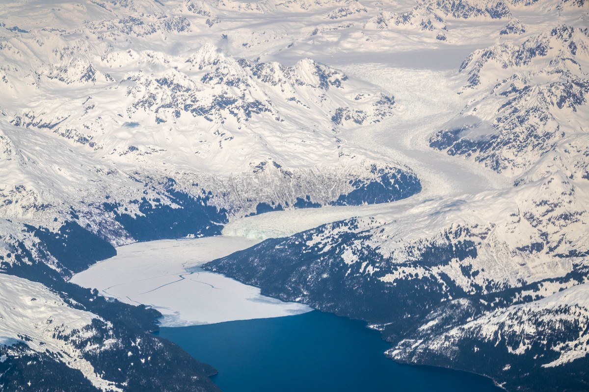
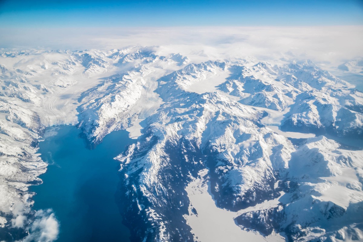
In the Chugach Mountains, Meares Glacier heads between Aspero Peak and Mount Michelson, trends southwest to Unakwik Inlet, 42 miles west of Valdez at its terminus.
The easiest way to get there is to charter a flight with Tok Air Service while they operate out Valdez in March and April.
Otherwise in summer you can take a Stan Stephens Cruise to view the glacier or you can charter a boat from Valdez to get to the glacier.
Named in 1909 by U. S. Grant and D. F. Higgins, U.S. Geological Survey (USGS), for Captain John Meares, 1756-1809, British naval officer, explorer, and trader. Captain Meares, while on a trading expedition aboard the English vessel Nootka, spent the winter of 1786-87 in Prince William Sound.
Baby Glacier, Brilliant Glacier, Dartmouth Glacier, Downer Glacier, Eliot Glacier, Harvard Glacier, Lowell Glacier, Meares Glacier, Pedro Glacier, Ranney Glacier, Yale Glacier,
Lakes:Mountains:Aspero Peak, Mount Cardozo, Mount Castner, Columbia Peak, Mount Glenn, Mount Grosvenor, Mount Michelson, Mount Witherspoon,
Ridges:Rivers:Streams:Pictures of, from, or near Meares Glacier.