Kicking Horse River Gallery
Pictures of, from, or near Kicking Horse River.
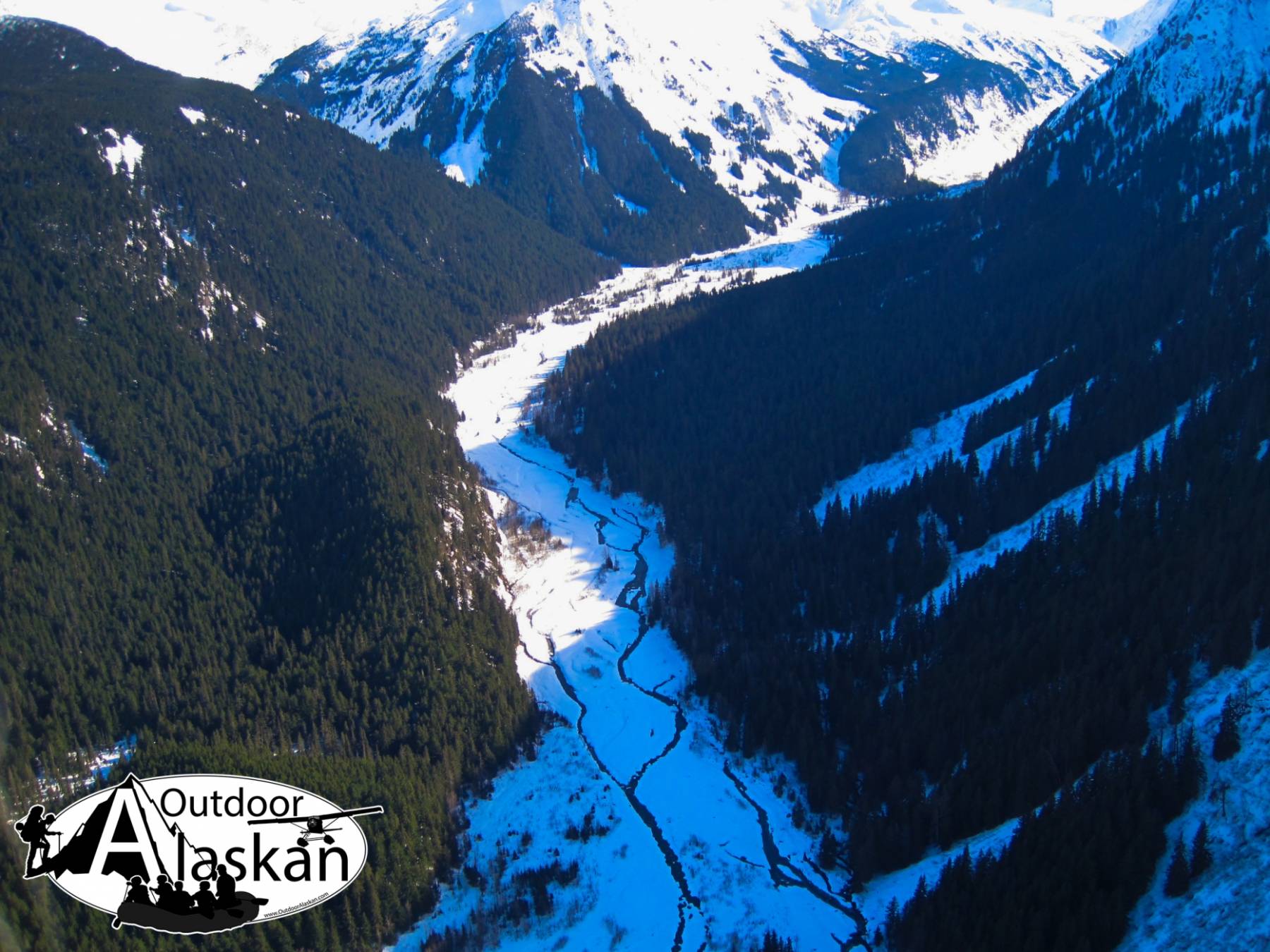
heads in Garrison Glacier, flows N 5 mi. to Chilkat River, 3 mi. NW of McClellan Flats and 18 mi. SW of Skagway; St. Elias Mts.
this name was published in 1900 on an Alaska Railroad map. Tlingit Indian name obtained by Aurel and Aurthur Krause (1883, map) was Chalzekahin. U.S. Coast and Geodetic Survey (USC&GS), in the 1883 Coast Pilot (p. 198), Katsckahin in the 1891 Cost Pilot (p. 202), and Khaltsekahin on Chart 8300 in 1893.
| March 15, 2014 | 1 person died | skiing | Read More |
Chilkoot, Gantegastaki, Kalwatta,
Bars:Jenkins Rock, McClellan Flats,
Bays:Carrs Cove, Chilkat Inlet, Lutak Inlet, Pyramid Harbor, Shiyi Bay, Taiyasanka Harbor, Tanani Bay,
Beaches:Capes:Anchorage Point, Dok Point, Green Point, Kaskulu Point, Nukdik Point, Tanani Point, Vanderbilt Point, Zimovia Point,
Cities:Dams:Haines Army Depot Water Supply Dam,
Fictional Places:Glaciers:Davidson Glacier, Arthur Glacier, Bertha Glacier, Garrison Glacier, Krisha Glacier, Rainbow Glacier,
Islands:Lakes:Mountains:Cathedral Peak, Mount Emmerich, Face Mountain, Mount Harding, Iron Mountain, Mount Kashagnak, Mount Ripinski, Tukgahgo Mountain,
Parks:Chilkoot Lake State Recreation Area,
Peaks:Mount Dech, Lactic Acid Peak, Nelson Tower, Shakuseyi Peak, Mount Tajis,
Mountain Ranges:Ridges:Rivers:Chilkat River, Chilkoot River, Ferebee River, Kicking Horse River, Takhin River,
Streams:Haska Creek, Johnson Creek, Johnson Creek, Ludaseska Creek, Mink Creek, Shakuseyi Creek,
Routes:Mount Ripinsky and 7 Mile Saddle Trail,
Valleys:Cities:Pictures of, from, or near Kicking Horse River.