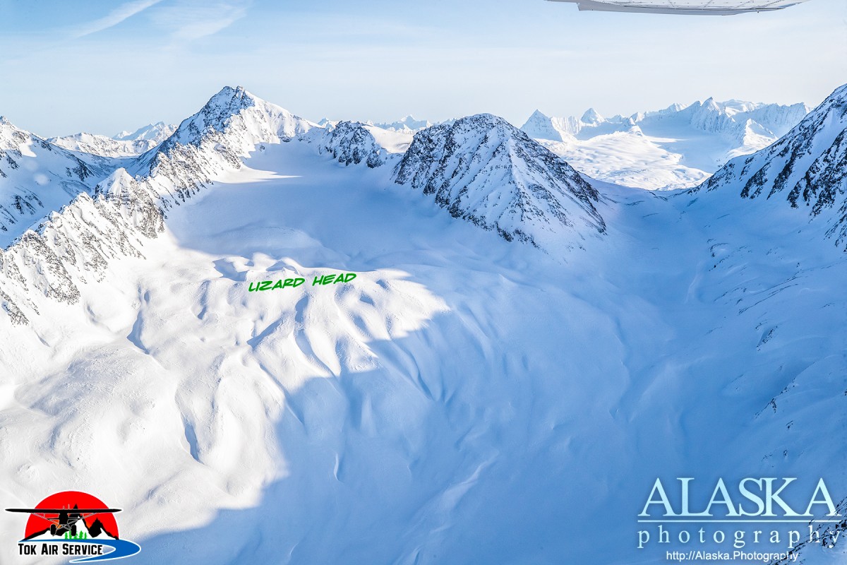
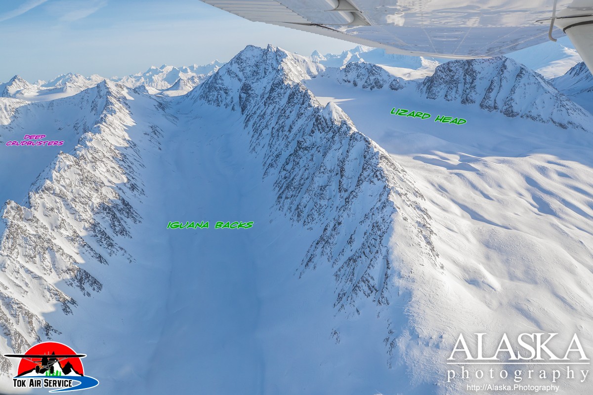
Lizard Head Gallery
Pictures of, from, or near Lizard Head.
Deserted Glacier, Glacier G214320E61230N, Glacier G214328E60976N, Glacier G214334E60964N, Glacier G214367E61057N, Glacier G214372E61254N, Glacier G214388E61269N, Glacier G214425E61262N, Glacier G214428E61155N, Glacier G214430E61162N, Glacier G214432E61145N, Glacier G214486E61259N, Glacier G214552E61248N, Glacier G214560E61231N, Glacier G214575E61240N, Glacier G214627E61131N, Glacier G214638E61142N, Glacier G214716E61218N, Glacier G214732E61226N, Glacier G214744E61225N, Glacier G214747E61188N, Heiden Glacier, Marshall Glacier, Pencil Glacier, Tasnuna Glacier, The Beach, Woodworth Glacier, Woodworth Glacier,
Routes:Locales:43 Mile Chute, Cauliflowers, Cracked Ice, Crudbusters, Deep Crudbusters, Diamond, Disney World, Gun Barrels, Heavenly, Iguana Backs, Little Diamond, Lizard Head, Mega Sumo, Nick's Happy Valley, Promise Land, Python, Repeater Couloirs, RFS, Seal, Snatch, Stairway, Three Pigs, Three Towers, Valley of the Tusk, Vertigo,
Mountains:Mount Billy Mitchell, Mount Dimond, Mount Dimond, Mount Jimmy Doolittle, Rice Mountain, Mount Tiekel,
Mountain Passes:Marshall Pass, Ptarmigan Drop,
Peaks:Berlin Wall, Cracked Ice, Elephant, Elephant Crud, Goodwills, Ivory Tusk, Little Matterhorn, Purple Nurple, Pyramid, Python, RFS, Rhinestone Cowgirl, Stairway, Super Bowl, The Tusk, Total Crud, Wilbur's,
Mountain Ranges:Ridges:40.5 Wall, Hippy Ridge, Sushi Bar, The Books,
Rivers:Routes:Blueberry Crack , Bluebies, S.K.K., Talons, Unknown, Unknown 3,
Streams:Boulder Creek, Cascade Creek, Glacier Creek, Heiden Creek, Mill Creek, Ptarmigan Creek, Small Creek, Squaw Creek, Stuart Creek,
Routes:Trans-Alaska Trail - Valdez to Thompson Pass, Tsina River Trail,
Pictures of, from, or near Lizard Head.