Tsina River Gallery
Pictures of, from, or near Tsina River.
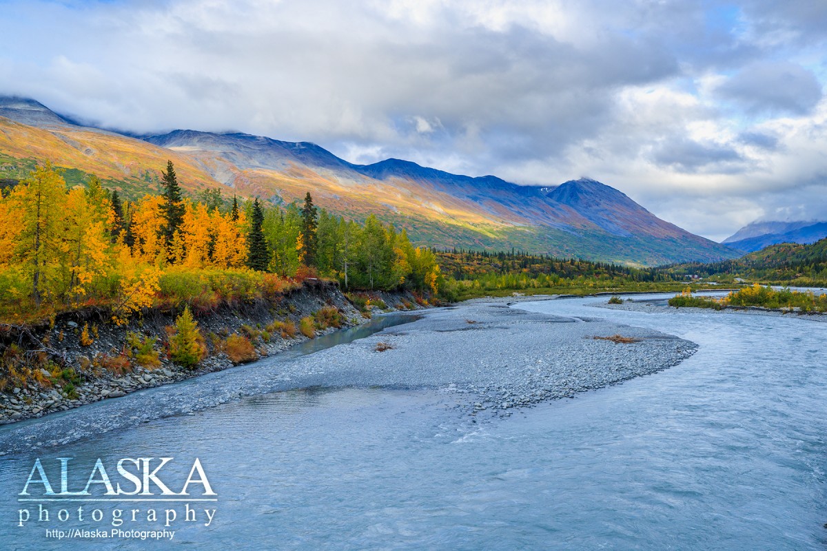
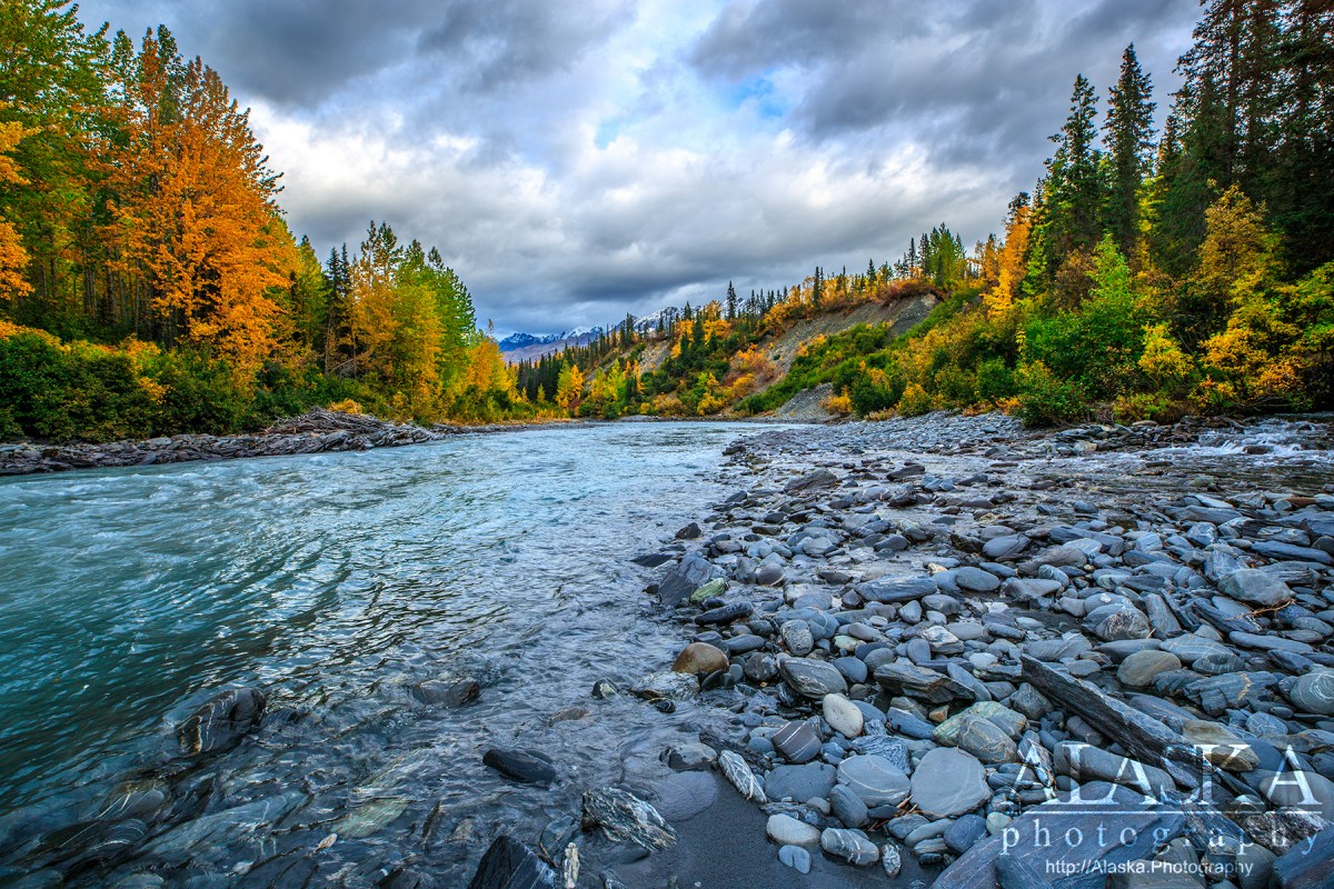
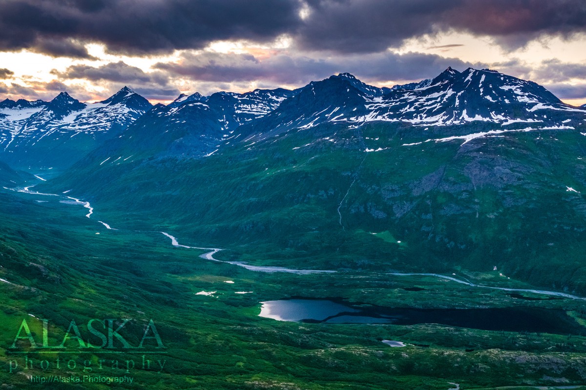
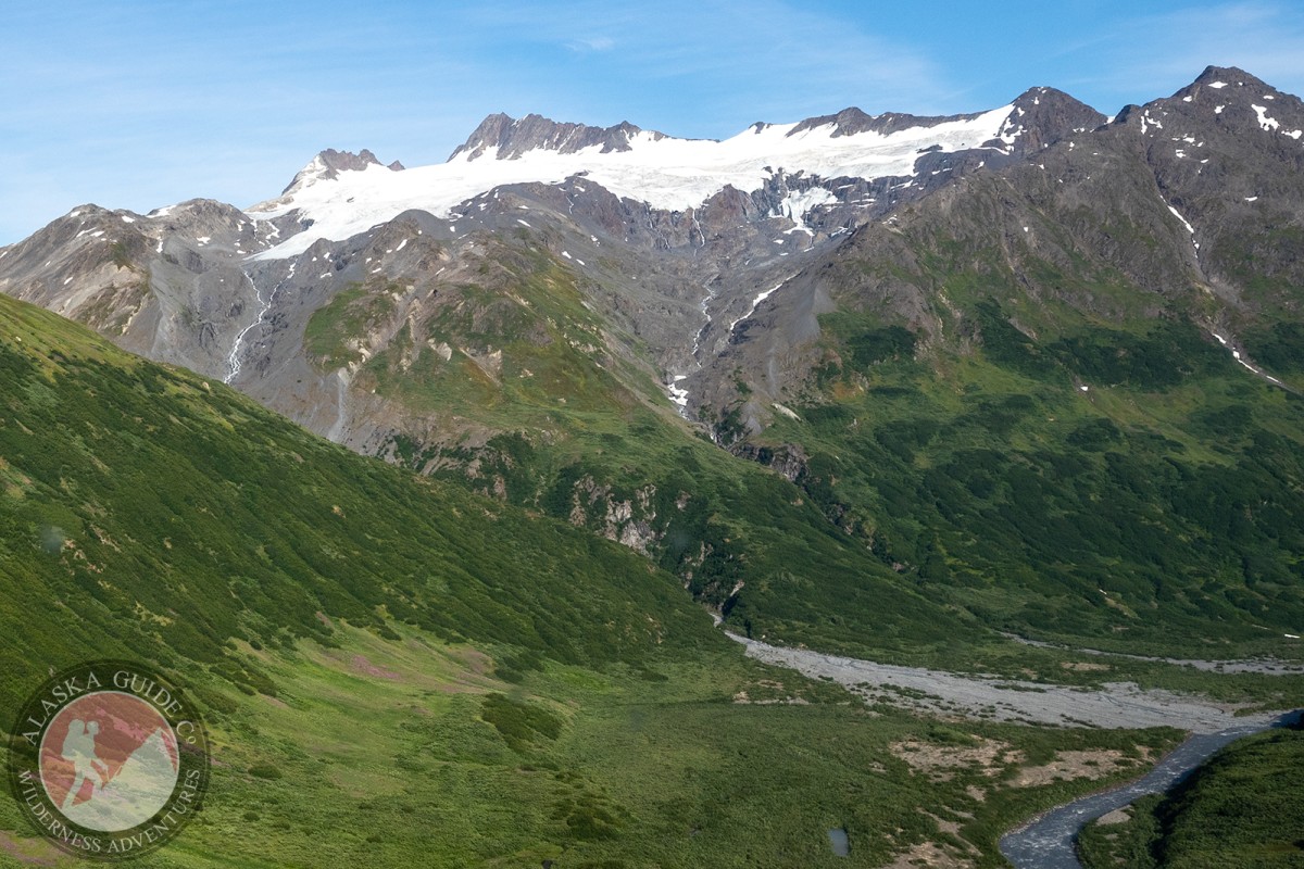
heads in glacier, flows E 24 mi. to Tiekel River, 0.7 mi. SE of mouth of Stuart Creek and 34 mi. NE of Valdez; Chugach Mts.
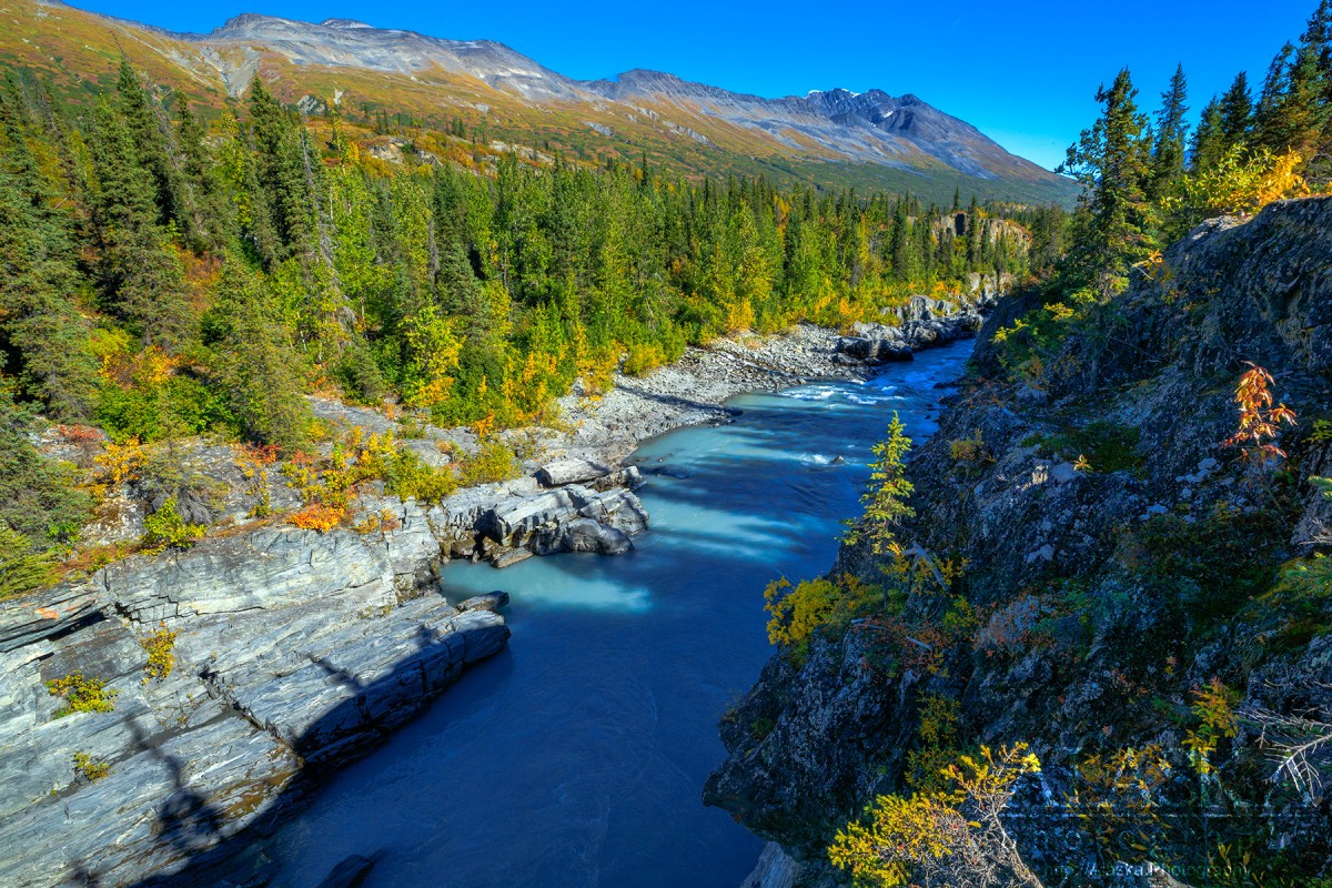
Tsina River located on the northern end of Thompson Pass flows from the Tsina Glacier and a few other unnamed glaciers 24 miles to join the Tiekel River, where shortly after Tiekel River flows down to the Copper River.
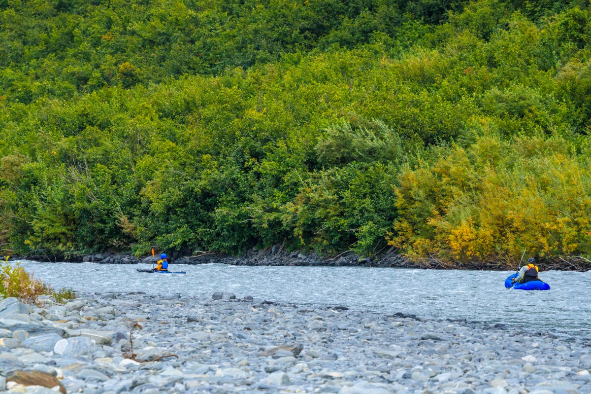
Rafting/Kayaking/Floating
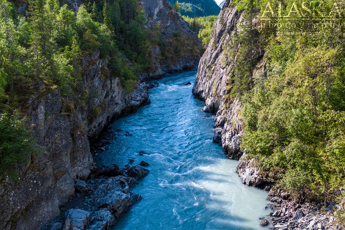
Tsina River flows through two canyons that can be dangerous to attempt floating. The first one begins across the Richardson Highway from Tsaina Lodge. If you manage to float down into this as some intentionally do. There is a pullout before getting into the steep rock wall portion of the canyon.
The other canyon is right before it joins the Tiekel. Both canyons can be easily found from Richardson Highway if you drive along the river and look from the road.
Tsina River runs right along the Richardson Highway on the north side of Thompson Pass. Many places to pull over and access the river.
Ahtena Indian name meaning "bent (crooked) river (tsa i-na)" spelled "Tsaina" by F. C. Schrader, U.S. Geological Survey (USGS), 1898 and as "China" by Captain W. R. Abercrombie, USA, the same year.Naming: Ahtena native name meaning bent or crooked river. [tsa'i-na] spelled "Tsaina" by F.C. Schrader, USGS, in 1898 and as "China" by Captain W.R. Abercrombie, USA, the same year.
| July 16, 2022 | 1 person died | rafting | Read More |
Cleave Creek Glacier, Glacier G214546E61164N, Glacier G214552E61248N, Glacier G214560E61231N, Glacier G214575E61240N, Glacier G214587E61160N, Glacier G214599E61164N, Glacier G214599E61175N, Glacier G214627E61131N, Glacier G214635E61181N, Glacier G214638E61142N, Glacier G214638E61198N, Glacier G214657E61185N, Glacier G214668E61100N, Glacier G214716E61218N, Glacier G214729E61117N, Glacier G214732E61226N, Glacier G214740E61174N, Glacier G214744E61225N, Glacier G214747E61188N, Glacier G214858E61201N, Glacier G214859E61214N, Glacier G214875E61208N, Glacier G214944E61295N,
Routes:Locales:43 Mile Chute, Aftermath, Cauliflowers, Crudbusters, Deep Crudbusters, Disney World, Iguana Backs, Little Diamond, Lizard Head, Repeater Couloirs, Seal, Spaghetti Chutes, Three Pigs, Three Towers,
Mountains:Mount Billy Mitchell, Rice Mountain, Mount Tiekel,
Mountain Passes:Peaks:Elephant, Elephant Crud, Happiness, Purple Nurple, Pyramid, Super Bowl, Total Crud, Wilbur's,
Mountain Ranges:Ridges:Rivers:Streams:Boulder Creek, Ernestine Creek, Fall Creek, Fiftynine Mile Creek, Mill Creek, Mosquito Creek, Squaw Creek, Stuart Creek,
Routes:Pictures of, from, or near Tsina River.