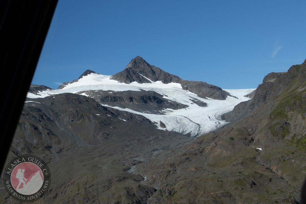
Glacier G213869E60950N Gallery
Pictures of, from, or near Glacier G213869E60950N.
Beartrap Bay, Olsen Bay, Parshas Bay, Saint Matthews Bay, Whalen Bay,
Capes:Crags:Valdez Glacier Campground Wall, Lookout Rock, Panorama Point,
Dams:Solomon Gulch Dam A, Solomon Gulch Dam B, Solomon Lake Dam,
Flats:Glaciers:Brickslide Glacier, Area 51 Glacier, Corbin Glacier, Glacier G213685E61168N, Glacier G213687E60954N, Glacier G213708E60993N, Glacier G213722E60985N, Glacier G213723E61170N, Glacier G213737E60948N, Glacier G213740E61167N, Glacier G213749E60966N, Glacier G213766E60924N, Glacier G213775E60940N, Glacier G213777E61166N, Glacier G213783E60980N, Glacier G213784E61033N, Glacier G213788E60991N, Glacier G213798E61012N, Glacier G213804E61037N, Glacier G213821E60955N, Glacier G213835E60986N, Glacier G213860E61028N, Glacier G213869E60950N, Glacier G213882E60988N, Glacier G213914E60880N, Glacier G213934E61146N, Glacier G213941E60895N, Glacier G213942E60986N, Glacier G213944E60979N, Glacier G213945E60907N, Glacier G213952E61151N, Glacier G213958E60963N, Glacier G213959E60945N, Glacier G213962E60977N, Glacier G213967E60919N, Glacier G213971E60895N, Glacier G213982E60906N, Glacier G213982E61094N, Glacier G213986E60928N, Glacier G214001E60962N, Glacier G214004E60942N, Glacier G214005E60907N, Glacier G214017E60985N, Glacier G214019E61092N, Glacier G214021E60977N, Glacier G214022E60997N, Glacier G214027E61088N, Glacier G214030E60925N, Glacier G214032E61170N, Glacier G214039E60964N, Glacier G214042E61141N, Glacier G214048E60957N, Glacier G214049E60918N, Glacier G214053E61154N, Glacier G214070E61096N, Hogback Glacier, Keystone Glacier, Rubin Glacier,
Routes:Islands:Ammunition Island, Mineral Creek Islands,
Lakes:Crater Lake, Deep Lake, Robe Lake, Solomon Gulch Lake, Solomon Lake, Solomon Lake, Valdez Glacier Lake,
Locales:Airport Chute, Alaska Guide Company - Office, Area 51, Basin Cove, Cabell Chute, Delta Chute, Grant Chute, Lookout Bowl, Lucky 13, Tombstone Wall,
Mine:Mountains:East Peak, Mount Francis, Hogsback, Meteorite Mountain, Sugarloaf Mountain, West Peak,
Peaks:Benzene, Bob's Knob, Mount Bonet, Comstock, Embick, Heidi Peak, Satellite, Snow Dome,
Rivers:Gravina River, Lowe River, Robe River,
Routes:Lazy Days, No Floss Necessary, Route number 1, Route number 3, Trim the Bush, Wet Finish,
Routes:Already Herd, Bicentennial, Bongo That Bitch, Brand New, Canadian Heat Wave, Cotter Unlimited, Danger Stranger, Dragon's Teeth, Dynosaur, The Firing Line, Gusel Jugs, Harristotle, Kentner's Mill, Leaf BlowersL, Ledgeway to Sleven, Lefty Lucy, People Get Up And Drive Your Funky Soul, Quartzsite's Strike, Reacharound, Redheaded Stepchild, Righty Tighty, Route number 2, Slabawooke, The Nose Knows, Your Favorite Weapon,
Streams:Abercrombie Creek, Brown Creek, Browns Creek, Cameron Creek, Camicia Creek, Canyon Slough, Control Creek, Corbin Creek, Crooked Creek, Dead Creek, East Fork Olsen Bay Creek, Goat Creek, Slater Creek, Valdez Glacier Stream, West Fork Olsen Bay Creek,
Routes:Area 51 Access Trail, Browns Creek Trail, Dayville Power Line Trail, Dock Point Trail, East Peak Access Trail, Mount Francis Winter Trail, Hogsback Trail, John Hunter Memorial Trail, Levee to Valdez Glacier Trail, Lost Toque Trail, Northern Robe Lake Trail, Pack Trail of 1899, River Drive Trail, Robe River Hogsback Access Trail, Solomon Gulch Valdez Overlook Spur, Southern Robe Lake Trail,
Valleys:Abercrombie Gulch, Browns Basin, Goat Gully, Keystone Canyon, Solomon Gulch, Sulphide Gulch,
Cities:Pictures of, from, or near Glacier G213869E60950N.