Porcupine Gallery
Pictures of, from, or near Porcupine.
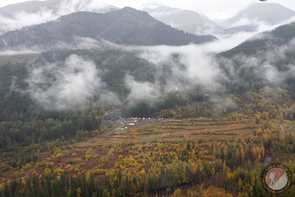
0.6 mi. SW of mouth of Porcupine Creek, on Klehini River, 32 mi. W of Skagway, St. Elias Mts. aj 592515N1361415W
A mining camp named by prospectors for Porcupine Creek. The town was established in 1898 as a result of the discovery of gold along the creek. The following year it had a population of 200, and in 1901 a postoffice of this na me was established. In 1903 the town consisted of a dozen or more houses and log cabins, a trading store, a hotel, and about 80 people during the summer, but during the winter it was practically deserted (Wright, 1904, p. 11).
Le Blondeau Glacier, Boundary Glacier, Glacier G223637E59372N, Glacier G223641E59360N, Glacier G223642E59341N, Jarvis Glacier, Little Jarvis Glacier, Saksaia Glacier, Takhin Glacier,
Lakes:Herman Lake, Mosquito Lake, Three Guardsman Lake, Walker Lake,
Mine:Cahoon Creek Mine, Christmas Creek Mine, Glacier Creek Mine, Porcupine Creek Mine,
Mountains:Mount Cheetdeekahyu, Chilkat Peak, Flower Mountain, Four Winds Mountain, Glave Peak, Hiteshitak Mountain, Porcupine Peak, Mount Prinsep, Mount Seltat, Sunshine Mountain, Surgeon Mountain, Tohitkah Mountain,
Mountain Ranges:Rivers:Streams:37 Mile Creek, Bear Creek, Big Boulder Creek, Cahoon Creek, Cottonwood Creek, Glacier Creek, Herman Creek, Jarvis Creek, Little Boulder Creek, McKinley Creek, Muncaster Creek, Nataga Creek, Nugget Creek, Porcupine Creek, Rosaunt Creek, Summit Creek,
Cities:Cities:Pictures of, from, or near Porcupine.