Tiekel River Gallery
Pictures of, from, or near Tiekel River.
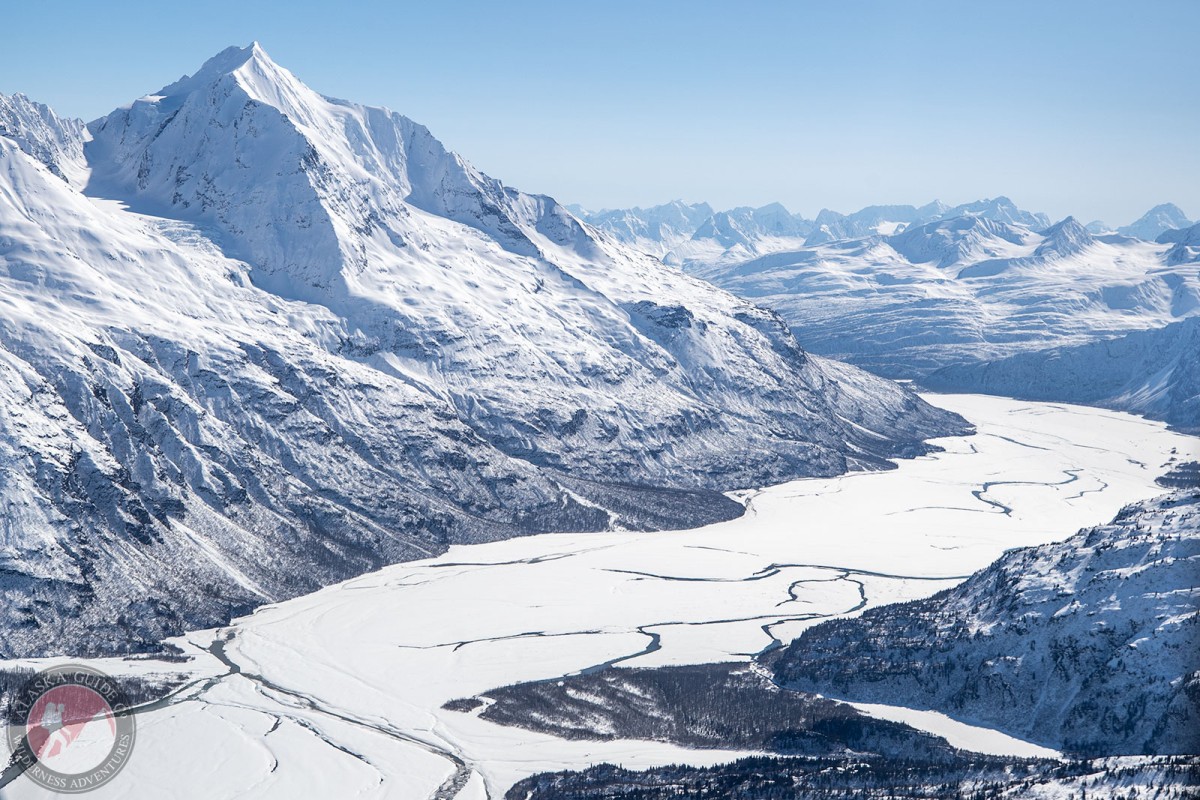
flows SW and E 34 mi. to Copper River, 3.5 mi. NE of junction of Thunder Creek and 47 mi. ENE of Valdez; Chugach Mts.
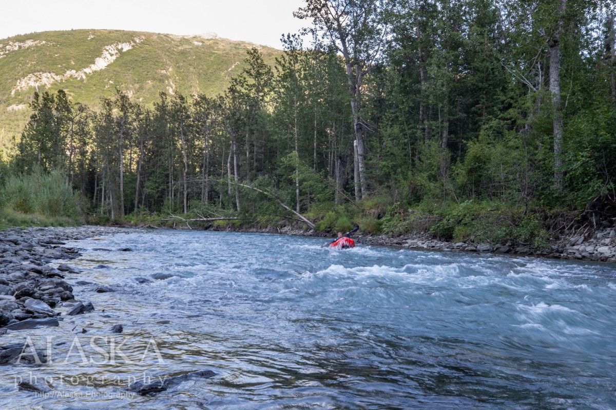
Tiekel River is a nice gently flowing class II river until it meets up with the Tsina River. The last 16 miles from Tsina River to the Copper River are a completely different story.
The last 16 miles of Tiekel River are an intense Class V+ float. People really need to know what they're doing and have a lot of experience before attempting this section of the river. It's so rough it prevents salmon from making it through to spawn in the Tiekel.
The Richardson Highway follows the Tiekel River from where it heads at about 60 mile and follows it to the confluence with Tsina River around 46 mile.
Indian names "Tiekel" and "Tiekhell" applied by Lieutenant H. T. Allen, USA, to a stream now known as Uranatina River. name was reapplied to this stream by U.S. Geological Survey (USGS). another Indian name, "Konsina," for this stream; R. Abercrombie, USA, recorded the names "Tsina" and "Konsena." "Tsina," is now applied to the south fork of the Tiekel River.
Glacier G214977E61192N, Glacier G215003E61201N,
Lakes:Locales:Mountains:Rivers:Tiekel River, Uranatina River,
Streams:Cirque Creek, Cleave Creek, Dewey Creek, Jackson Creek, Thunder Creek,
Pictures of, from, or near Tiekel River.