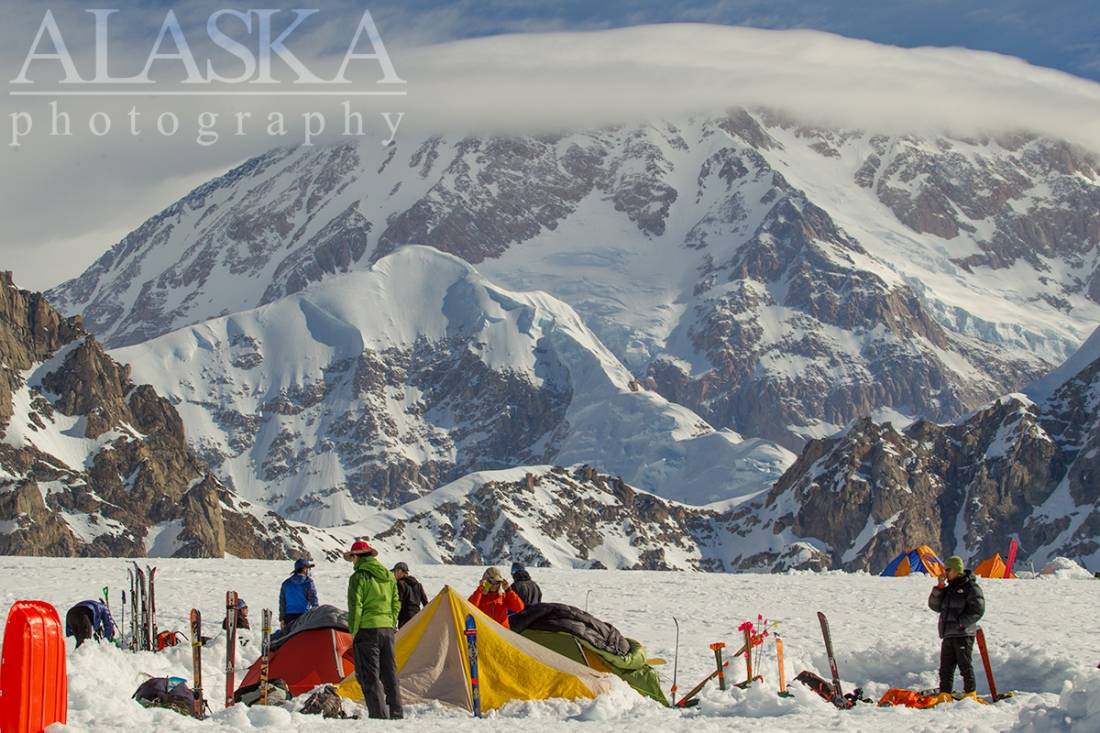
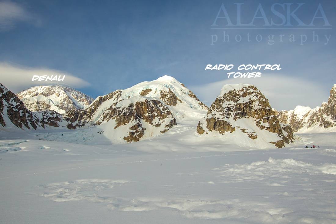
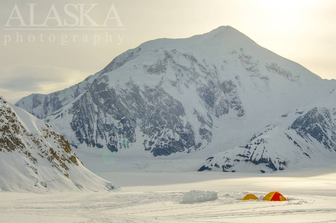
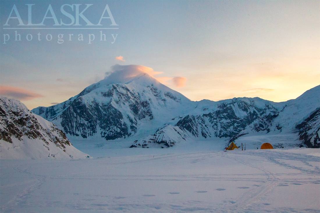
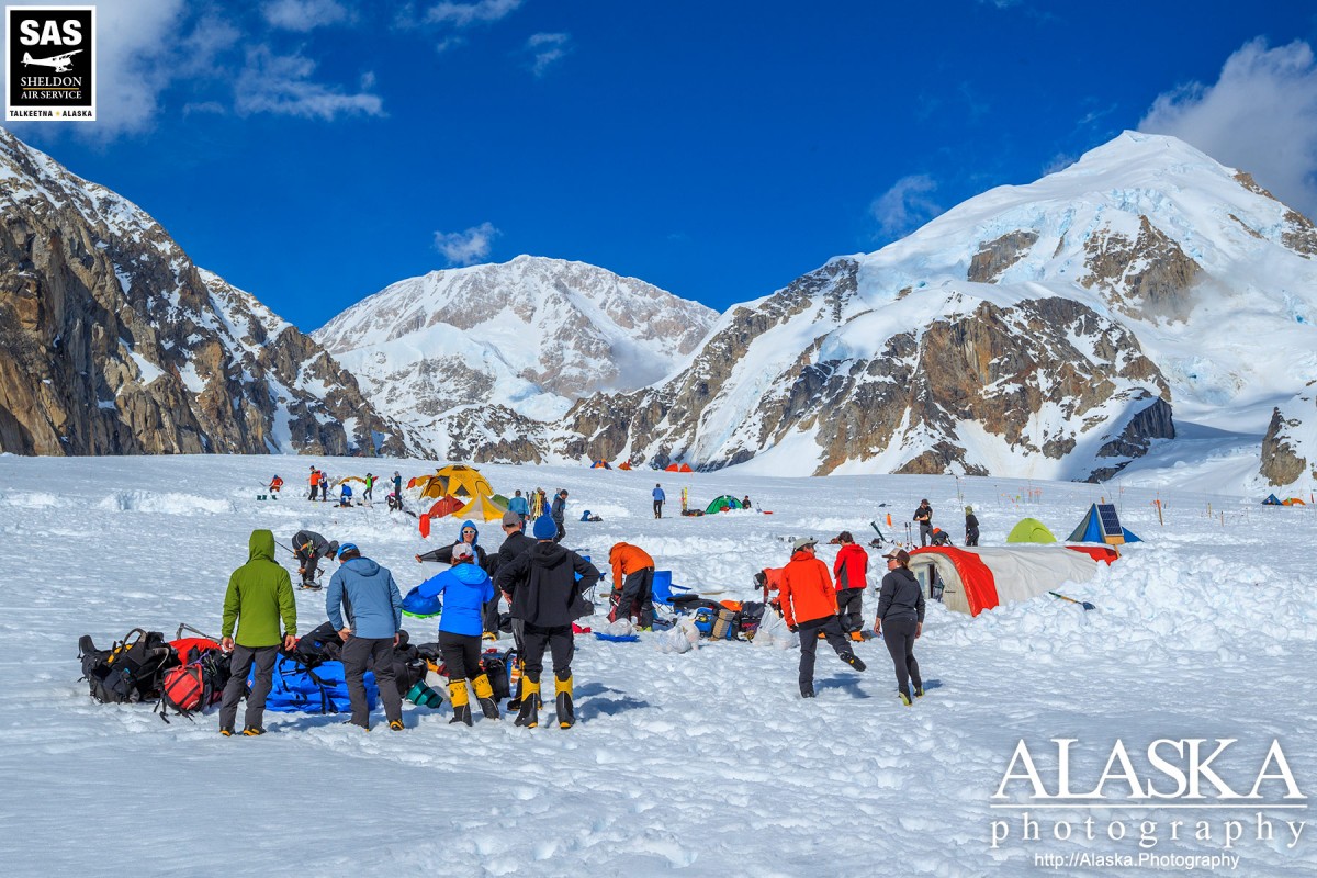
Southeast Fork Kahiltna Glacier Gallery
Pictures of, from, or near Southeast Fork Kahiltna Glacier.
trends SW to Kahiltna Glacier, 9 mi. SW of Denali Pass, Alaska Range
Mountain climbers' name reported about 1954 by U.S. Geological Survey (USGS).
| May 17, 2022 | 1 person died | mountaineering | Read More |
East Fork Kahiltna Glacier, Great Icefall, Harper Glacier, Harper Icefall, Jeffery Glacier, Kahiltna Glacier, Northeast Fork Kahiltna Glacier, Peters Basin, Peters Glacier, Southeast Fork Kahiltna Glacier, Straightaway Glacier, Tluna Icefall, West Fork Ruth Glacier,
Locales:11K Camp, The Autobahn, Camp 1, Cassin Ridge, Czech Direct, Denali Base Camp, Edge of the World, Football Field, Heartbreak Hill, Messner Couloir, Motorcycle Hill, Orient Express, Rescue Gully, Ski Hill, Squirrel Hill, West Rib, West Rim, Windy Corner,
Mountains:Archdeacons Tower, Browne Tower, Mount Capps, Carter Horn, Churchill Peaks, Mount Crosson, Farthing Horn, Mount Frances, Mount Hunter, Jeffery Dome, Jeffery Point, Kahiltna Dome, Kahiltna Peaks, Denali, North Peak, Peters Dome, South Peak - Denali, Mount Stevens,
Mountain Passes:Denali Pass, Kahiltna Notch, Kahiltna Pass, Karstens Col, One Shot Gap, Parker Pass, Peters Pass, Ruth Gap, Windy Corner,
Peaks:Avalanche Spire, Radio Control Tower, Reality Peak,
Ridges:Annie's Ridge, Crosson Ridge, Flatiron, Karstens Ridge, Pioneer Ridge, Southeast Spur, Taylor Spur, Thunder Mountain, West Buttress,
Routes:Pictures of, from, or near Southeast Fork Kahiltna Glacier.