Porpoise Rocks Gallery
Pictures of, from, or near Porpoise Rocks.
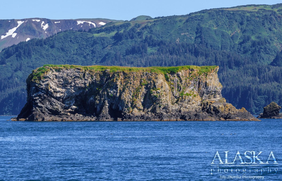
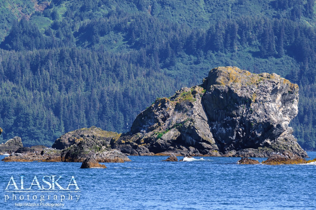
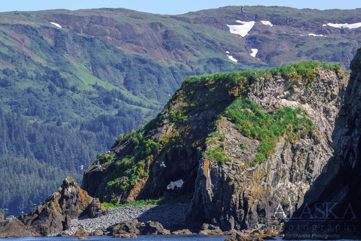
Porpoise Rocks consist of one large level rock and many other large rocks of various shapes. The rocks are surrounded on three sides by Hinchinbrook Island, and sit between Port Etches and Hinchinbrook Entrance.
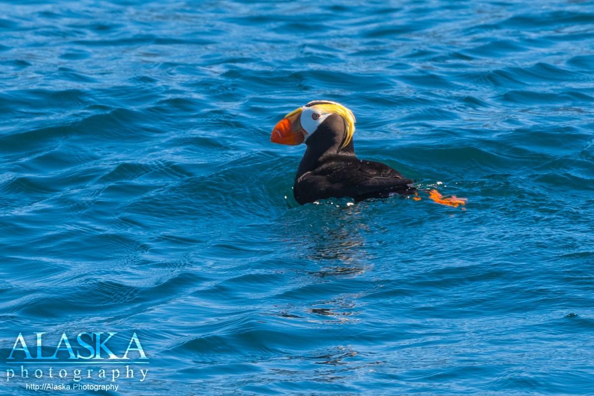
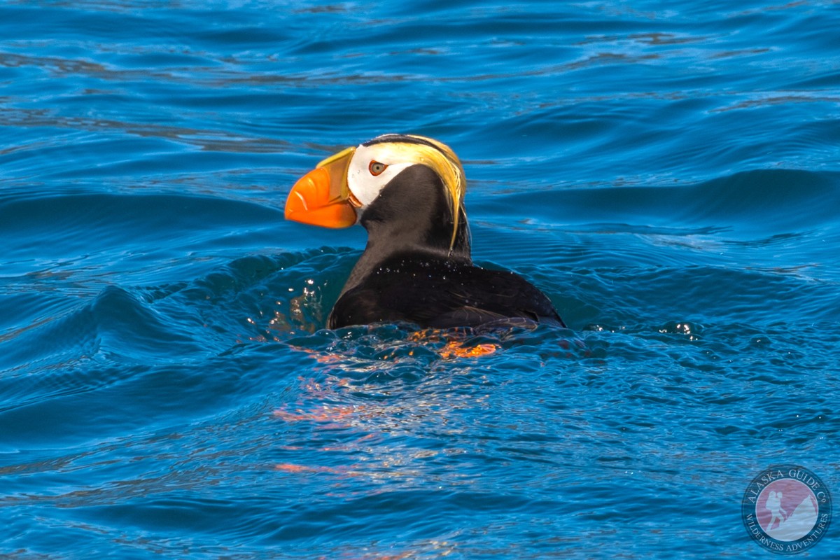
They serve as a rookery for Tufted Puffin and gulls.
Naming: The name was first published in 1869 Coast Pilot. They were called "Ostrova Ptichi," meaning "bird islands," in 1830 by Russian pilot Ivan Chernovo. The rocks were called "Los Negritos," or "the little black ones," on an anonymous 1779 Spanish "plano."
Naucestaarwikcak Point, Seal Rocks, The Seven Sisters,
Bays:Port Etches, Anderson Bay, Constantine Harbor, Deer Cove, Double Bay, English Bay, Garden Cove, Shelter Bay,
Capes:Point Barber, Point Horn, Bear Cape, Bear Cape, Cape Hinchinbrook, Eagle Point, Johnstone Point, Phipps Point, Punta de la Cruz, Qengnaswik Point, Shelter Point,
Channels:Islands:Porpoise Rocks, Bocharov Island, Garden Island,
Mountains:Parks:Hinchinbrook Lighthouse Reserve,
Streams:Anderson Creek, Bear Creek, Constantine Creek, Eagle Creek, Etches Creek, Garden Creek, Horn Creek, Kanuwalem Kuiya Creek, Nuchek Creek,
Pictures of, from, or near Porpoise Rocks.