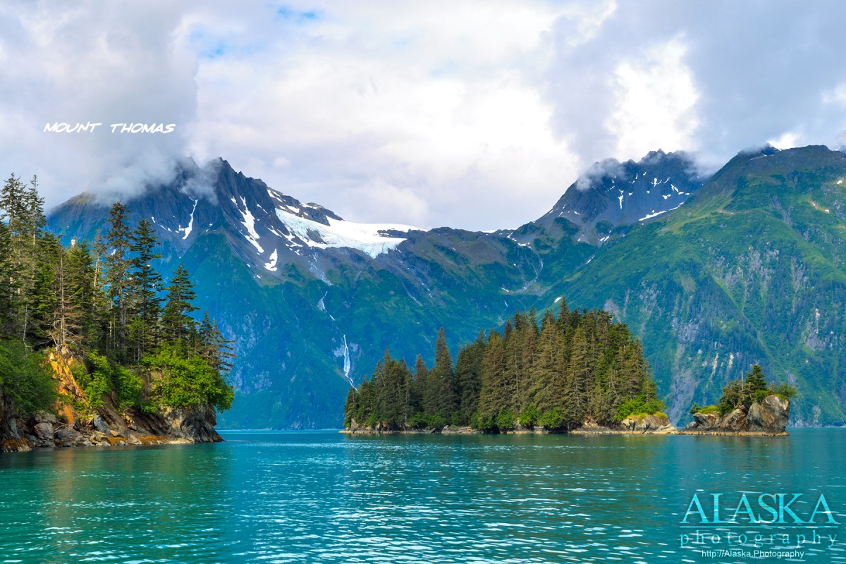
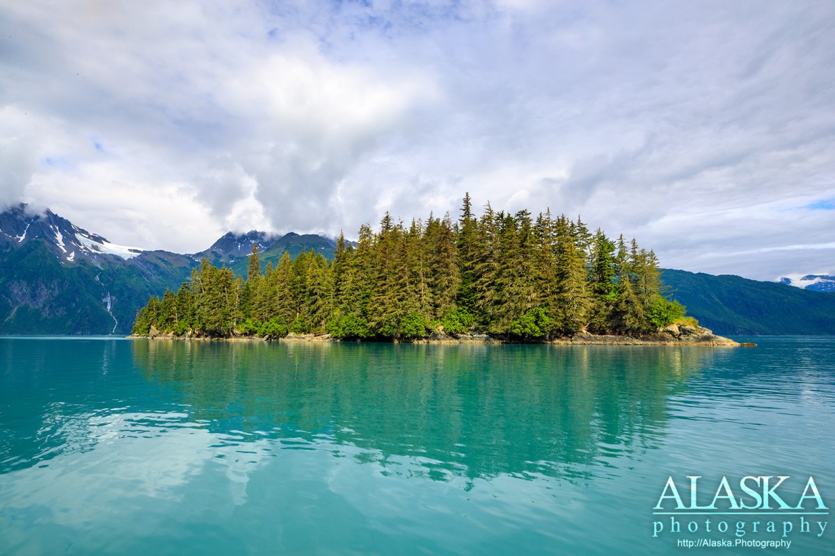
Entrance Island Gallery
Pictures of, from, or near Entrance Island.
on S shore of Port Valdez, SW of Valdez, Chugach Mts. 0.2 mile long.
Name reported in 1901 by H. P. Ritter, U.S. Geological Survey (USGS); so called because it lies near the entrance to Port Valdez.
Anderson Bay, Galena Bay, Jack Bay, The Lagoon, Port Valdez, Sawmill Bay, Shoup Bay, Valdez Arm, Virgin Bay,
Capes:Black Point, Entrance Point, Point Lowe, Potato Point, Rocky Point, Tongue Point,
Caves:Channels:The Narrows, Tatitlek Narrows, Valdez Narrows,
Dams:Ellamar Dam Number 1, Ellamar Dam Number 2, Tatitlek Dam, Tatitlek Supply Dam,
Glaciers:Glacier G213478E61182N, Anderson Glacier, Annin Glacier, Glacier G213498E61160N, Glacier G213500E61175N, Glacier G213550E61021N, Glacier G213583E61167N, Glacier G213585E61165N, Glacier G213585E61165N, Glacier G213602E61200N, Glacier G213603E61218N, Salmon Creek Glacier, Shoup Glacier, Silver Glacier, Westbrook Glacier,
Islands:Busby Island, Entrance Island, Middle Rock,
Lakes:Copper Lake, Devish Lake, Millard Lake, Lake Number 1, Silver Lake, Turner Lake,
Locales:Mine:Mountains:Bells Butte, Mount Cameron, Copper Mountain, Ellamar Mountain, Mount Hogan, Mount Shasta, Mount Thomas,
Parks:Jack Bay State Marine Park, Sawmill Bay State Marine Park, Shoup Bay State Marine Park,
Mountain Passes:Peaks:Rivers:Streams:Big Creek, Black Creek, Clear Creek, Copper Creek, Donaldson Creek, Fault Creek, Gladhaugh Creek, Gold Creek, Gregorioff Creek, Indian Creek, Johnson Cove Creek, Johnson Creek, Levshakoff Creek, McAllister Creek, Millard Creek, Mineral Creek, Palmer Creek, Salmon Creek, Sawmill Creek, Stellar Creek, Twin Falls Creek, Uno Creek,
Routes:Homestead Trail, Jack Bay Island Trail,
Valleys:Cities:Pictures of, from, or near Entrance Island.