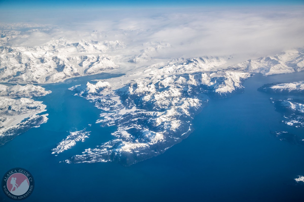
Sawmill Bay Gallery
Pictures of, from, or near Sawmill Bay.
on N shore of Valdez Arm, 11 mi. W of Valdez, Chugach Mts.
Local name reported in 1902 by H. P. Ritter, U.S. Coast and Geodetic Survey (USC&GS).
Boulder Bay, Cloudman Bay, Galena Bay, Jack Bay, Jade Harbor, Sawmill Bay, Shoup Bay, Valdez Arm, Virgin Bay, West Bay,
Capes:Point Freemantle, Black Point, Entrance Point, Point Lowe, Potato Point, Rocky Point, Tongue Point,
Channels:The Narrows, Tatitlek Narrows, Valdez Narrows,
Dams:Ellamar Dam Number 1, Ellamar Dam Number 2, Tatitlek Dam, Tatitlek Supply Dam,
Fictional Places:Glaciers:Anderson Glacier, Annin Glacier, Columbia Glacier, East Branch Columbia Glacier (not official), Westbrook Glacier,
Islands:Busby Island, Entrance Island, Middle Rock, Reef Island,
Lakes:Boreas Lake, Devish Lake, Millard Lake, Lake Number 1, Lake Number One, Turner Lake,
Mine:Mountains:Bells Butte, Mount Cameron, Copper Mountain, Ellamar Mountain, Mount Freemantle, Mount Shasta, Mount Thomas,
Parks:Jack Bay State Marine Park, Sawmill Bay State Marine Park, Shoup Bay State Marine Park,
Mountain Passes:Ridges:Rivers:Streams:Big Creek, Black Creek, Clear Creek, Donaldson Creek, Fault Creek, Gladhaugh Creek, Gregorioff Creek, Indian Creek, Johnson Cove Creek, Johnson Creek, Levshakoff Creek, McAllister Creek, Millard Creek, Palmer Creek, Stellar Creek, Twin Falls Creek, Uno Creek,
Routes:Valleys:Cities:Pictures of, from, or near Sawmill Bay.