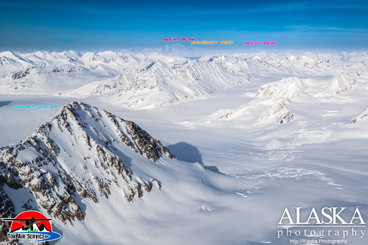
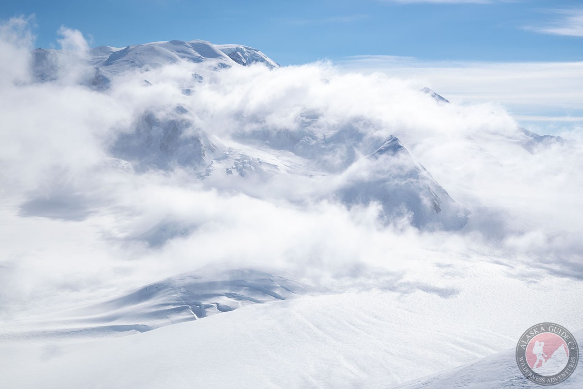
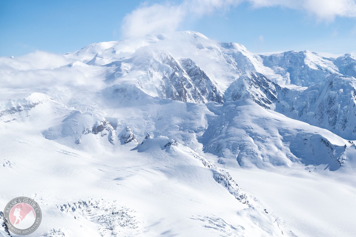
Mount Bear Gallery
Pictures of, from, or near Mount Bear.
Mount Bear lies at the head of east fork of Barnard Glacier, 9 miles north of Mount Anderson and 60 miles east of McCarthy, in the St. Elias Mountains, 4.7 miles west of the Canadian border.
As the 10 tallest peaks in the US are in Alaska, Mount Bear is naturally the 9th highest peak in both. While ranking 20th highest in North America. The summit has an isolation of 21 miles, on the slopes of Mount Bona. Due to its remoteness and not-so-technical difficulty Mt. Bear is infrequently climbed.
Mount Bear has a gentle enough approach summiting can be done primarily by ski mountaineering. While more technical summits may also be pursued of the several possible routes.
Named by Alaska-Canada boundary surveyors in 1912-13 and published on International Boundary Commission (IBC) Sheet 34 (1918 atlas).
Anderson Glacier, Klutlan Glacier, Tittmann Glacier,
Mountains:Mount Anderson, Mount Bear, Mount Tittmann,
Peaks:Bruin Peak, The Cub, Mount Donna, Mount Gunnar Naslund, Kuma Peak, Oso Peak, Panda Peak, Polar Peak, Sow Peak, Tittman, Mount Tushman, Wetterhorn,
Pictures of, from, or near Mount Bear.