Sullivan Rock Gallery
Pictures of, from, or near Sullivan Rock.
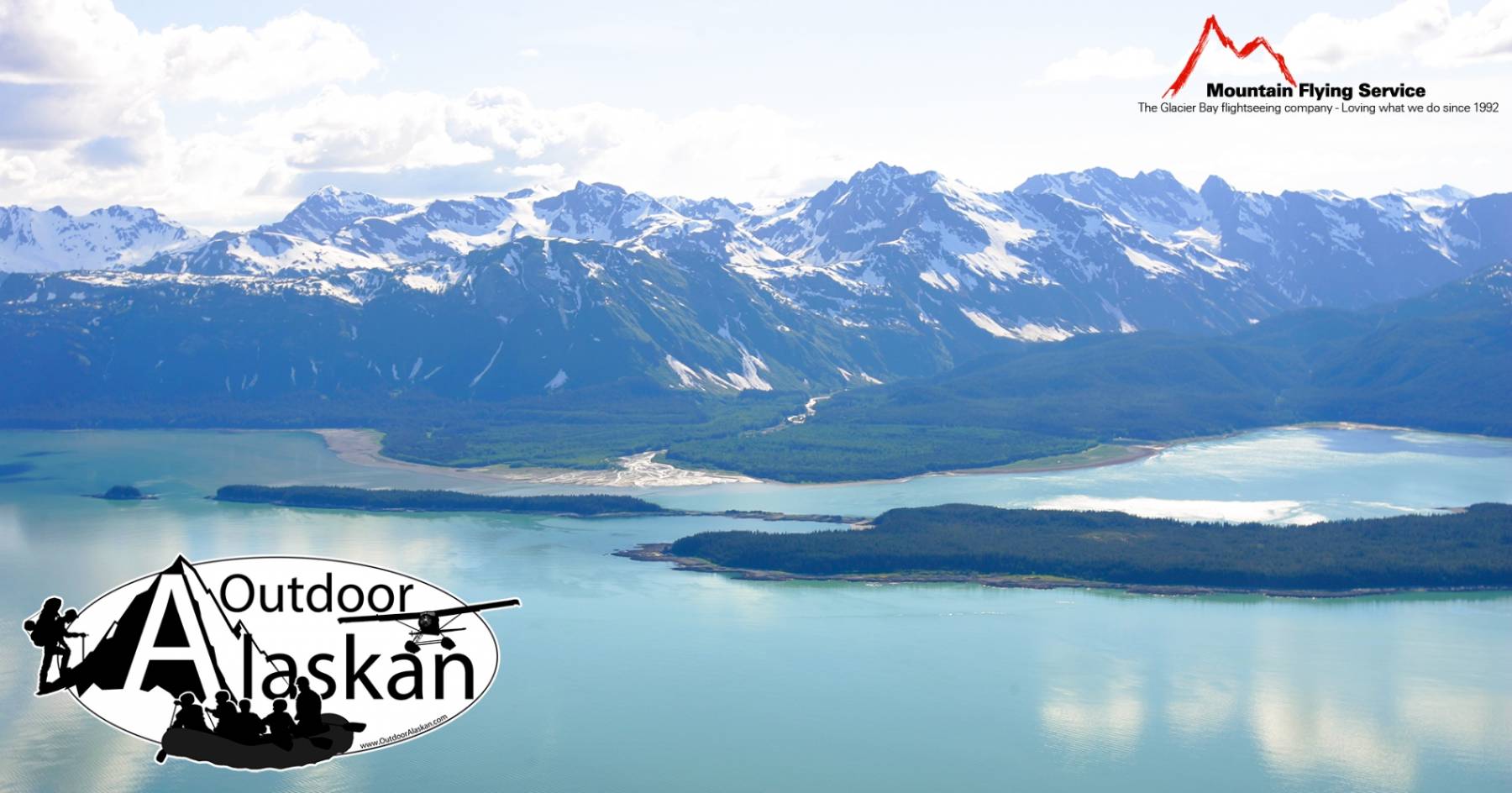
off W shore of Lynn Canal, 0.2 mi. S of Sullivan I. and 52 mi. NW of Juneau, St. Elias Mts.
Named in 1869 by the U.S. Navy Hydrographic Office and published by U.S. Coast and Geodetic Survey (USC&GS) in the 1883 Coast Pilot (p. 196).
Kalhagu Cove, Rescue Harbor, William Henry Bay,
Capes:Danger Point, Glacier Point, Lance Point, Seduction Point, Point Sherman,
Channels:Glaciers:Islands:Anyaka Island, Dalasuga Island, Eldred Rock, Kataguni Island, Shikosi Island, Sullivan Island, Sullivan Rock, Talsani Island,
Lakes:Mine:Alaska Endicott Mine, Horrible Mine, Ivanhoe Mine, Ophir Mine,
Mountains:Sinclair Mountain, Sullivan Mountain,
Parks:Chilkat Islands State Marine Park,
Peaks:Outkaste Picket, Pheobe Peak, Rockfall Tower, Rotting Death Spire, Satans Mistress, Selby, Sophia Peak,
Mountain Ranges:Rivers:Beardslee River, Endicott River, Glacier River,
Streams:Ophir Creek, Sherman Creek, Sweeny Creek, William Henry Creek, Yeldagalga Creek,
Pictures of, from, or near Sullivan Rock.