Caribou Creek Gallery
Pictures of, from, or near Caribou Creek.
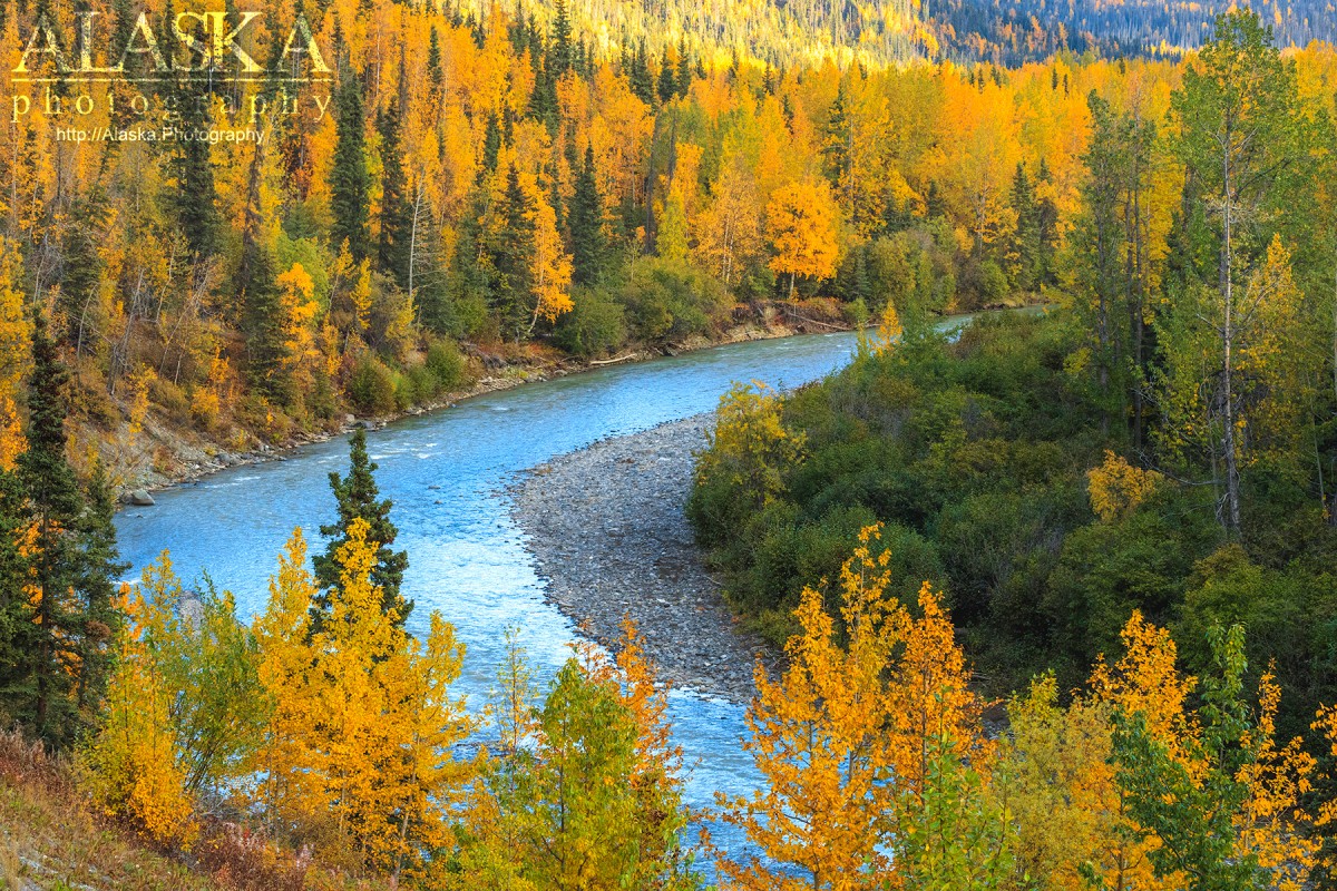
heads at glacier terminus, flows SE to Matanuska River, 50 mi. NE of Palmer, Talkeetna Mts. 35 miles long.
Caribou Creek is a very long creek that by the time the mouth of the creek connects with the Matanuska River it's the size of a small river.
Caribou Creek passes under the Glenn Highway just east of Matanuska Glacier.
Local name reported in 1898 by Schrader (1900a, p. 321), U.S. Geological Survey (USGS).
Big Spoon, Hide and Seek, Lil' Kahuna, Little Spoon,
Lakes:Bug Lake, Hicks Lake, Hundred Mile Lake,
Mountains:Denmark Peak, Gunsight Mountain, Horn Mountain, Lion Head, Mount Sergeant Robinson, Sheep Mountain, Syncline Mountain, Mount Wickersham,
Ridges:Rivers:East Fork Matanuska River, South Fork Matanuska River,
Streams:Alfred Creek, Bench Creek, Billy Creek, Bitter Creek, Caribou Creek, Chitna Creek, Dan Creek, Divide Creek, Flume Creek, Fortress Creek, Glacial Fan Creek, Glacier Creek, Gypsum Creek, Inoceramus Creek, Mouse Creek, Papoose Creek, Rock Glacier Creek, Sawmill Creek, Sawmill Creek, Sheep Creek, Squaw Creek, West End Creek, Wood Creek, Yellow Jacket Creek,
Valleys:Pictures of, from, or near Caribou Creek.