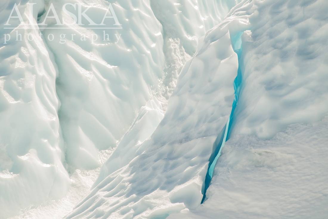
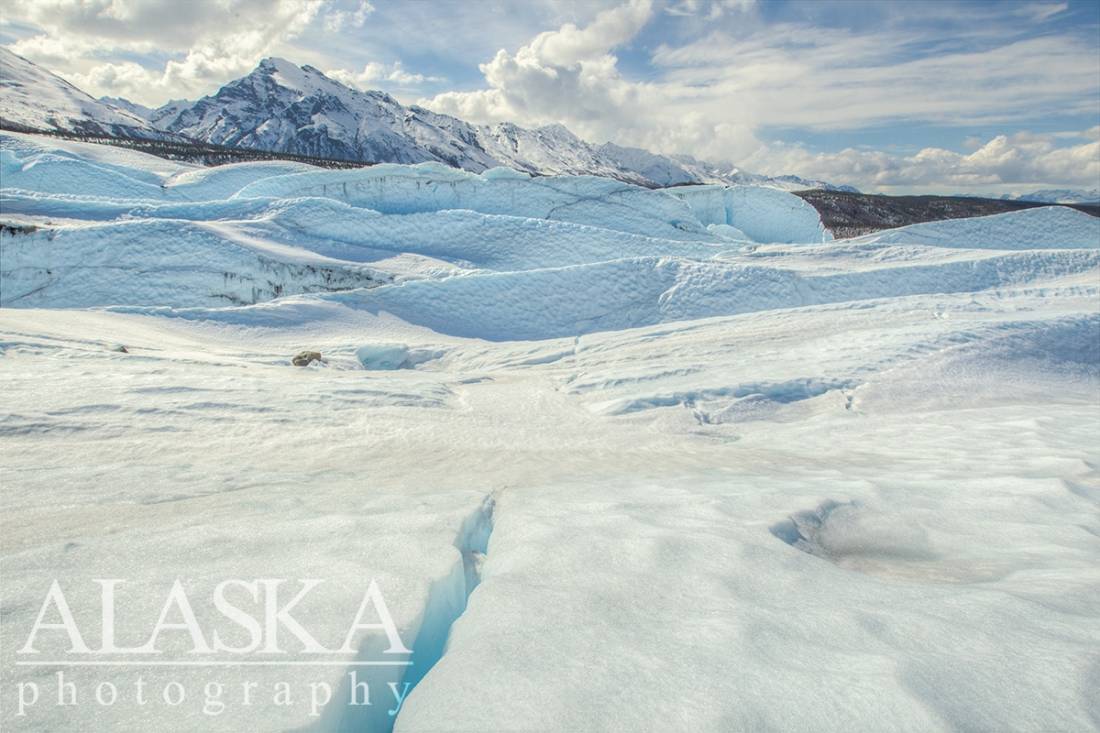
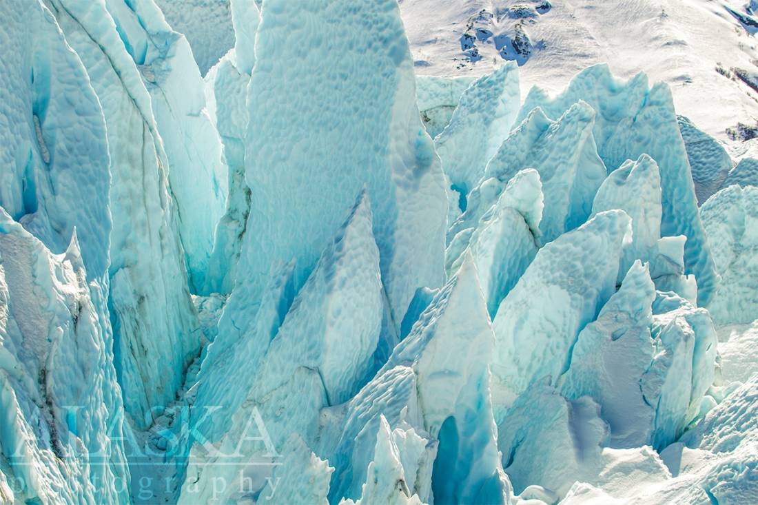
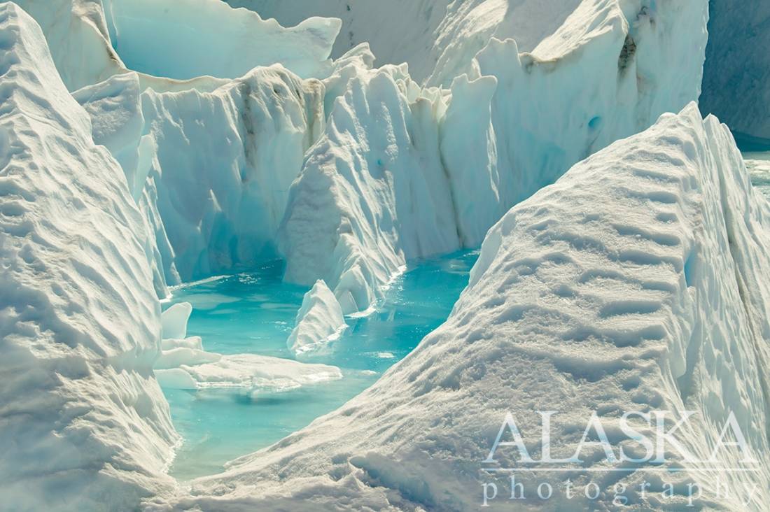
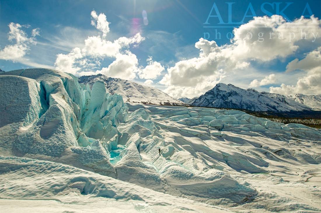
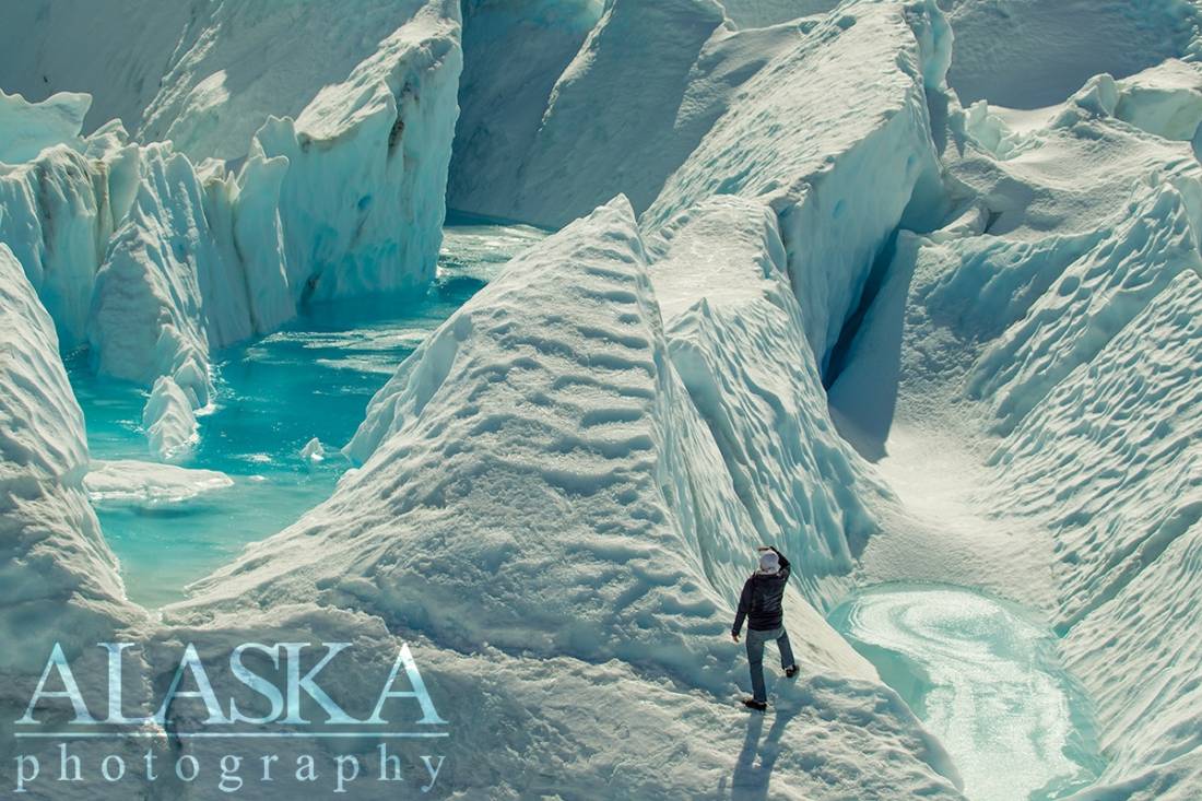
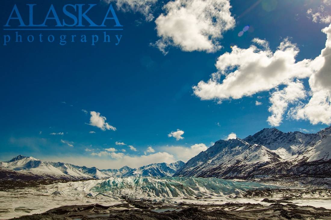
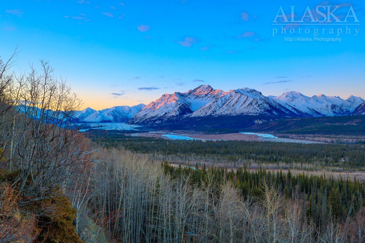
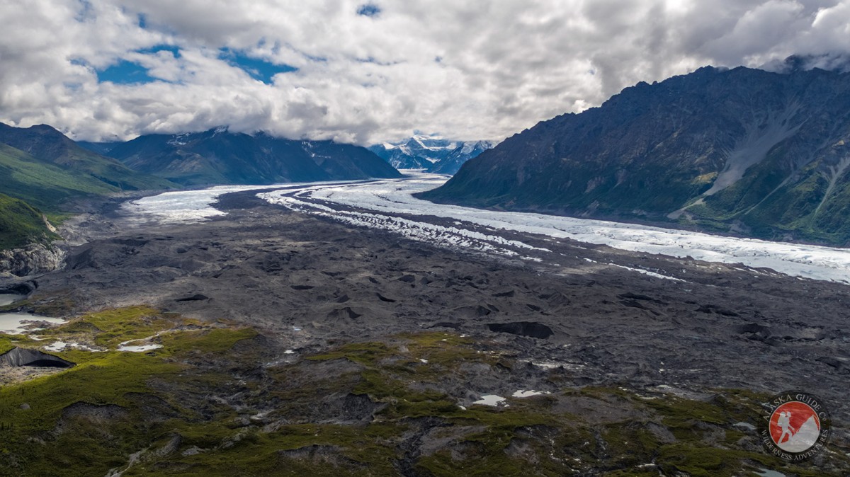
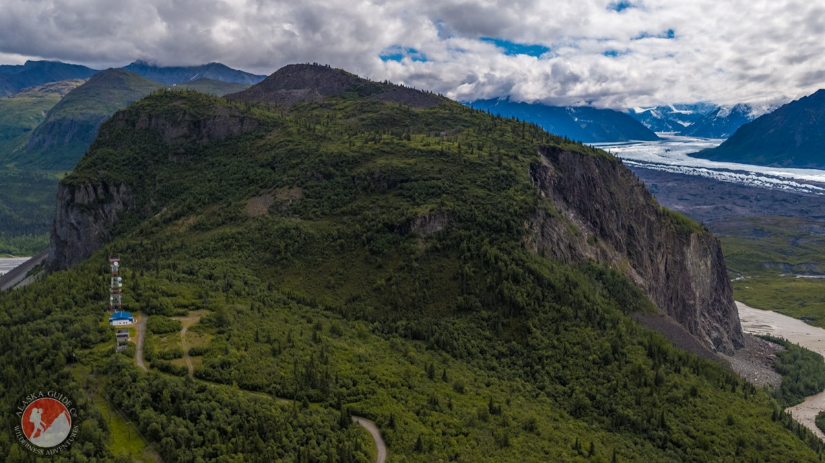
Matanuska Glacier Gallery
Pictures of, from, or near Matanuska Glacier.
Trends northwest to its terminus at a stream which drains into Matanuska River, 46 miles northeast of Palmer, Chugach Mountains.
Named in 1898 by Mendenhall (1900, p299 and 327), U.S. Geological Survey (USGS) derived from the Matanuska River.
| March 27, 2021 | 1 person died | skiing | Read More |
Big Spoon, Hide and Seek, Lil' Kahuna, Little Spoon,
Lakes:Mountains:Denmark Peak, Finland Peak, Gunsight Mountain, Lion Head, Norway Peak, Sheep Mountain, Sweden Peak, Mount Wickersham,
Peaks:Ridges:Rivers:East Fork Matanuska River, South Fork Matanuska River,
Streams:Bitter Creek, Camp Creek, Caribou Creek, Dan Creek, Fortress Creek, Glacial Fan Creek, Gypsum Creek, Middle Creek, Rock Glacier Creek, Squaw Creek, Trail Creek, West End Creek, Yellow Jacket Creek,
Valleys:Pictures of, from, or near Matanuska Glacier.