Chitistone River Gallery
Pictures of, from, or near Chitistone River.
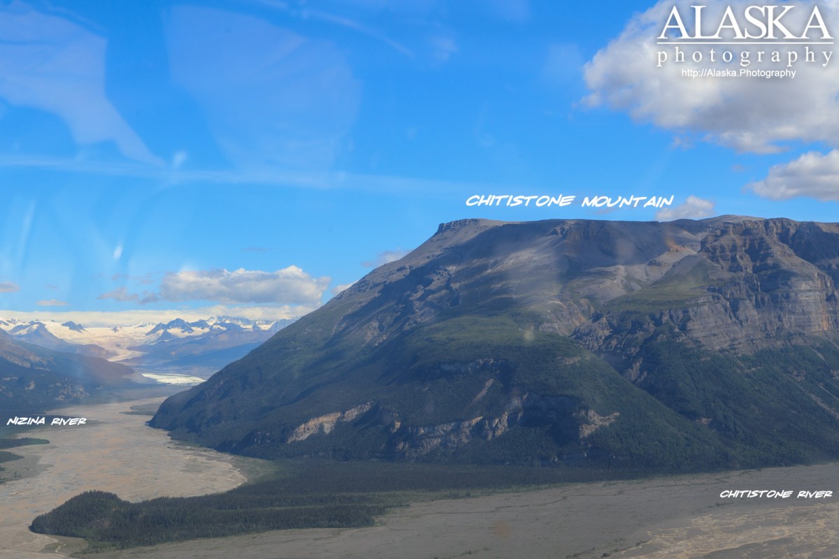
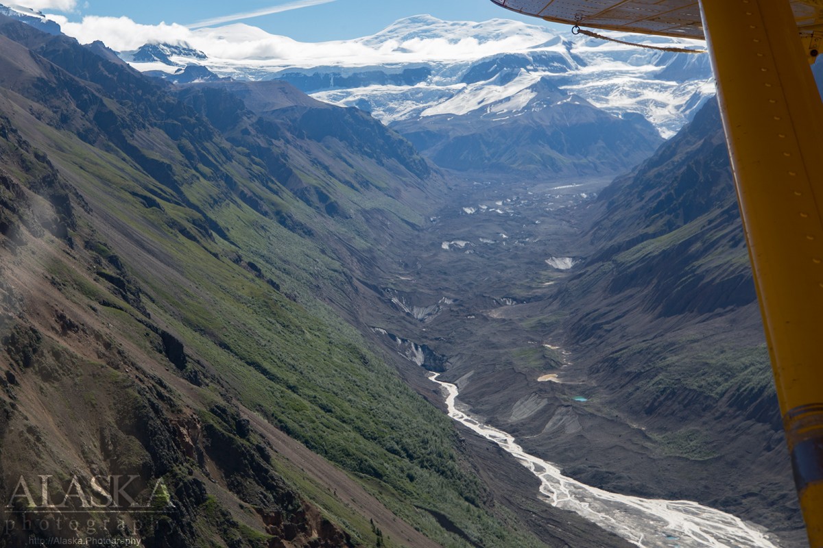
flows SW from Chitistone Pass to Nizina River, 12 mi. E of McCarthy, 20 miles long.
Named in 1885 by Lieutenant Allen (1887, p. 52), USA, "on account of the copper map. The word "chiti" is Indian for copper, and with the English word "stone" to the stream later known as "Nizina River."
Binocular Prospect, Green Butte Mine, Nelson Prospect, Nikolai Mine,
Mountains:Andrus Peak, Chitistone Mountain, Green Butte, Mount Holmes, Joshua Green Peak, Nikolai Butte, Nizina Mountain, Sourdough Peak, Williams Peak,
Mountain Passes:Ridges:Rivers:Chitistone River, West Fork Nizina River,
Streams:Amphitheatre Creek, Boulder Creek, Chititu Creek, Copper Creek, Dan Creek, Dimond Creek, Doubtful Creek, Eagle Creek, East Fork McCarthy Creek, Glacier Creek, Gold Run, Grotto Creek, Gurkin Creek, Lake Creek, Lime Springs Creek, Lubbe Creek, May Creek, Moonshine Creek, Nikolai Creek, Rex Creek, Sheep Creek, Texas Creek, White Creek, Young Creek,
Valleys:Blygh Gulch, Boulder Gulch, Boulder Gulch, Calamity Gulch, Champagne Gulch, Crumb Gulch, Dry Gulch, Grubstake Gulch, Idaho Gulch, Jolly Gulch, Kaufman Gulch, Kermon Gulch, Nikolai Gulch, Pack Gulch, Pollard Gulch, Radar Gulch, Sawmill Gulch, Seattle Gulch, Sheep Gulch, Sunday Gulch, Swede Gulch, Virginia Gulch,
Cities:Pictures of, from, or near Chitistone River.