Gurkin Creek Gallery
Pictures of, from, or near Gurkin Creek.
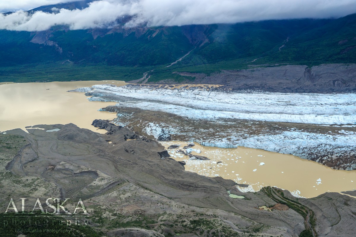
Heads 2 mi NE of the summit of Nizina Mountain, flows SE to the W. edge of Nizina Galcier near its terminal end, Wrangell Mts. 2.5 miles long.
Named in 1962 by E. M. MacKevett, Jr., and D. L. Jones, U.S. Geological Survey (USGS), for Ernest Gurkin (died 1961), early resident of the area and packer for F. H. Moffit, U.S. Geological Survey (USGS), in 1907-08.
Nizina Glacier, Regal Glacier, Rohn Glacier, Shelter Valley Glacier, Whiskey Hill Glacier,
Islands:Mine:Binocular Prospect, Nelson Prospect, Nikolai Mine, Radovan Prospect,
Mountains:Chimney Mountain, Chitistone Mountain, Nizina Mountain, Tinplate Hill,
Mountain Passes:Mountain Ranges:Rivers:Chitistone River, West Fork Nizina River,
Streams:Amphitheatre Creek, Doubtful Creek, Glacier Creek, Grotto Creek, Gurkin Creek, Lime Springs Creek, Moonshine Creek, Skolai Creek, Toby Creek,
Valleys:Pictures of, from, or near Gurkin Creek.