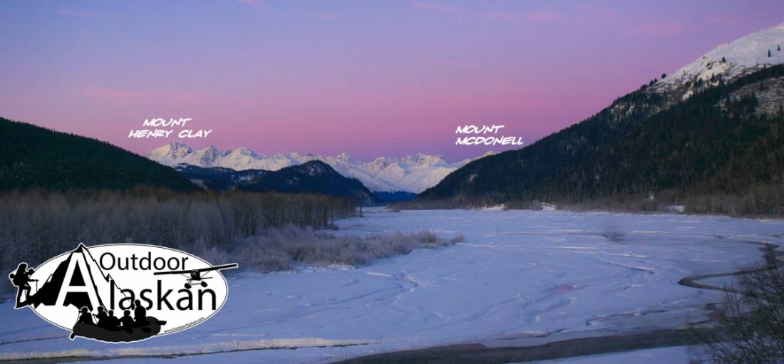
Mount Henry Clay Gallery
Pictures of, from, or near Mount Henry Clay.
on Alaska-Canada boundary, 6.2 mi. S of Mount McDonell and 41 mi. W of Skagway, St. Elias Mts.
Named in 1924 by the International Boundary Commission (IBC) for Henry Clay, 1777-1852, United States statesman.
Boundary Glacier, Glacier G223637E59372N, Glacier G223641E59360N, Glacier G223642E59341N, Jarvis Glacier, Little Jarvis Glacier, Saksaia Glacier, Tsirku Glacier,
Mine:Christmas Creek Mine, Glacier Creek Mine,
Mountains:Boundary Peak 154, Boundary Peak 155, Flower Mountain, Mount Harris, Mount Henry Clay, Mount McDonell, Surgeon Mountain,
Streams:Pictures of, from, or near Mount Henry Clay.