Kennicott Glacier Gallery
Pictures of, from, or near Kennicott Glacier.
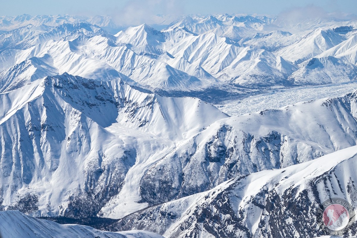
trends SE 27 mi. from Mount Blackburn to its terminus at head of McCarthy Creek; Wrangell Mts.
Driving you if starting from Anchorage you will need to take the Glenn Highway to Glennallen and then south on Richardson Highway. From Fairbanks head south on the Richardson Highway. About 30 miles after Glennallen, after to reach Pippin Lake, turn left on to AK-10/Edgerton Hwy. Stay on the for 33 miles until you reach Chitina. The road will make a sharp left turn at the restaurant. Stay on it as it turns into McCarthy Rd, stay on that till it ends 60 later.
At McCarthy you park at "Basecamp". At the end of the base camp parking you can walk right out to Kennicott Glacier. However most of the glacier, at here its terminus, is covered in rock.
named in 1899 by Rohn (1900, p. 406), U.S. Geological Survey (USGS), fro Robert Kennicott, pioneer Alaska explorer and director of the scientific corps of the Western Union Telegraph Expedition in 1865.
Gates Glacier, Kennicott Glacier, Root Glacier, Stairway Icefall,
Lakes:Mine:Mountains:Atna Peaks, Donoho Peak, Fireweed Mountain, Packsaddle Island, Parka Peak, Regal Mountain,
Parks:Kennecott Mines National Historic Landmark,
Mountain Passes:Streams:Amazon Creek, Bear Creek, Bonanza Creek, Fall Creek, Farm Creek, Fireweed Creek, Fohlin Creek, Fourth of July Creek, Hidden Creek, Jumbo Creek, McCarthy Creek, National Creek, Swift Creek, Tractor Creek,
Routes:Bonanza Mine Road, Bonanza-Jumbo Mine Road, Erie Mine Trail, Jumbo Mine Trail, Root Glacier Trail,
Valleys:Cities:Pictures of, from, or near Kennicott Glacier.