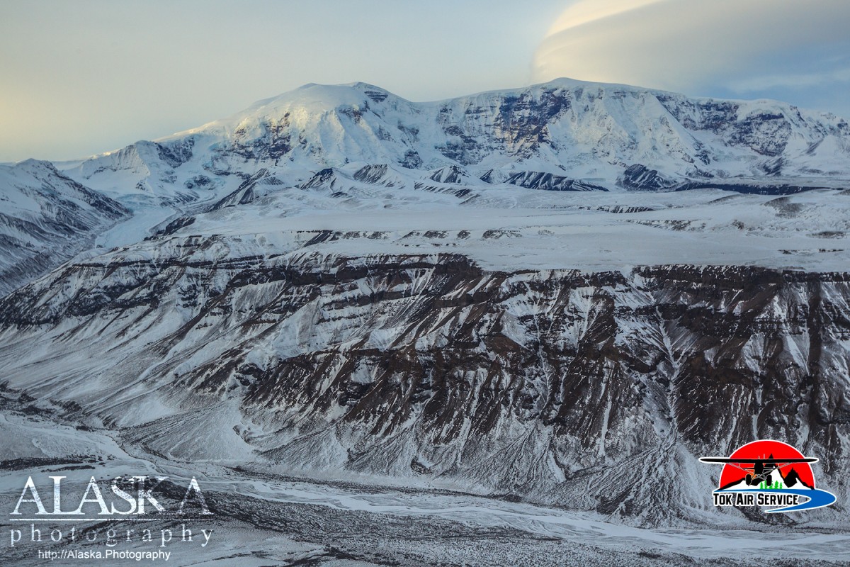
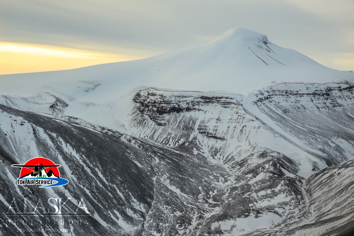
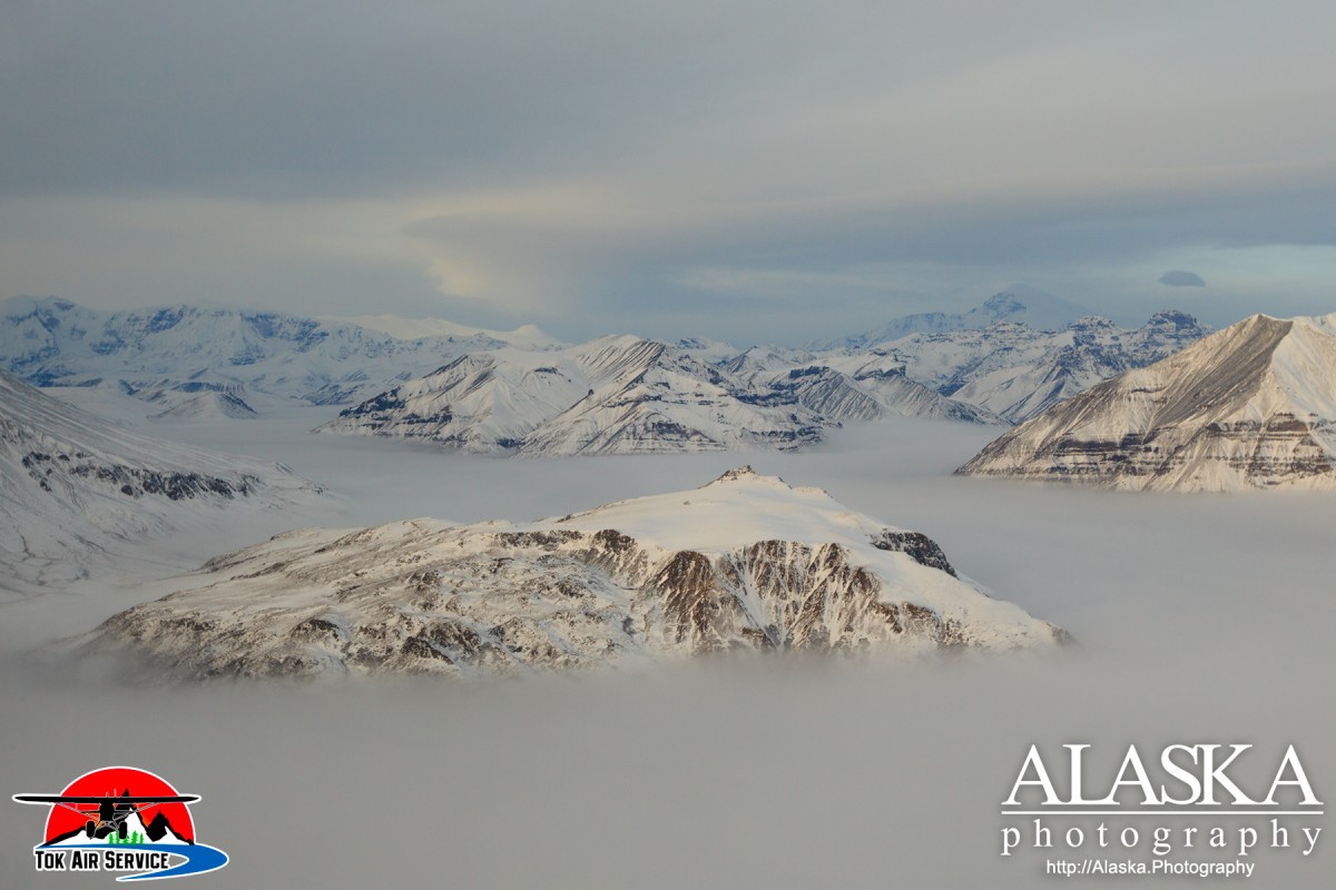
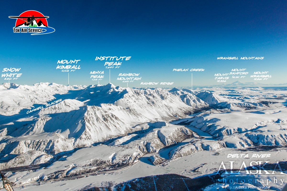
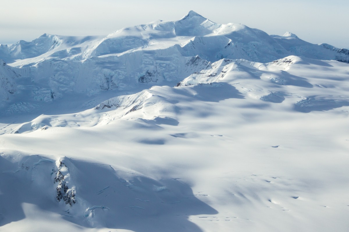
Wrangell Mountains Gallery
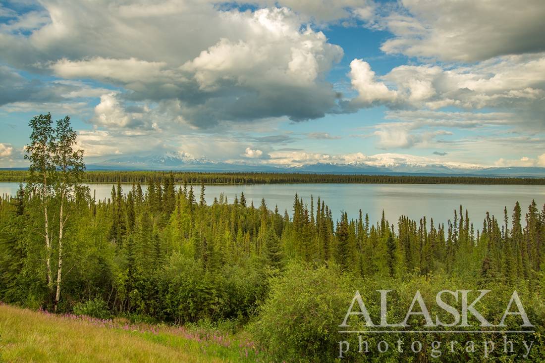
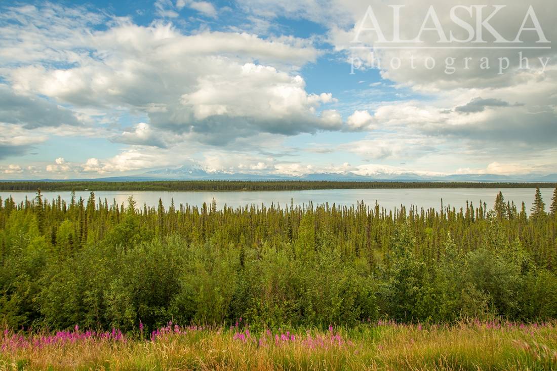
Pictures of, from, or near Wrangell Mountains.
mountain range, 100 mi. long and 60 mi. wide, bounded on W by Copper River; on NE by Jack Creek, Copper Creek, Notch Creek, and Geohenda Creek; on SE by head of White River, Skolai Pass, Chitistone River; and on S by Chitina and Nizina Rivers.
So called in 1901 by F. C. Schrader, U.S. Geological Survey (USGS); presumably for Mount Wrangell, which was thought at that time to be the highest peak in the range.
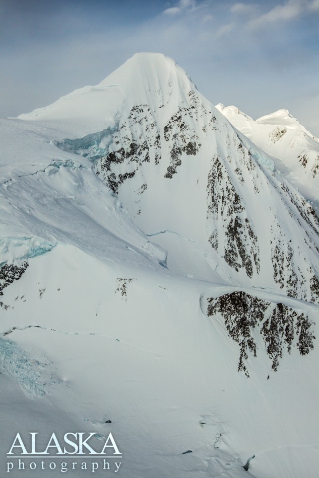
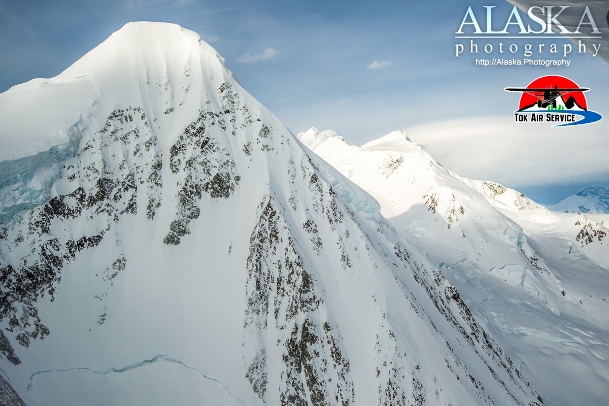
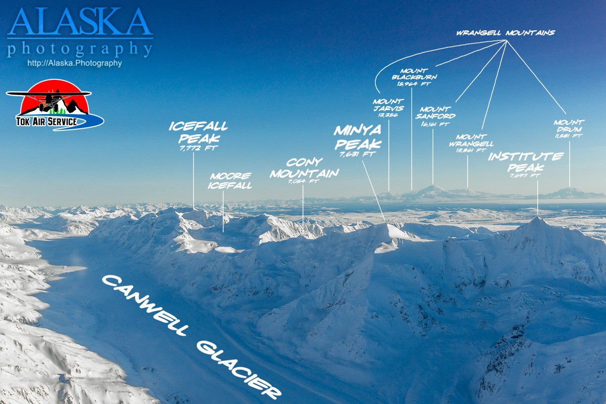
Abercrombie Mountain, Atna Peaks, Bonanza Peak, Capital Mountain, Castle Peak, Chitistone Mountain, Donoho Peak, Euchre Mountain, Fireweed Mountain, Frederika Mountain, Green Butte, Hubbard Peak, Jury Peak, Nathlie Mountain, Nikolai Butte, Nizina Mountain, Orange Hill, Packsaddle Island, Porphyry Mountain, Regal Mountain, Rime Peak, Scotty Peak, Skyscraper Peak, Snider Peak, Sourdough Peak, Tanada Peak, Tinplate Hill,
Dixie Pass, Kuskulana Pass, Mountaineers Pass, Nikolai Pass, Skolai Pass,
Kuskulana Glacier, Lakina Glacier,
Mountains:Mount Blackburn, Castle Peak, Jury Peak, Rime Peak,
Mountain Ranges:Streams:Pictures of, from, or near Wrangell Mountains.