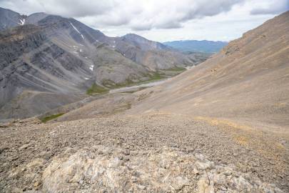
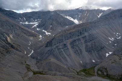
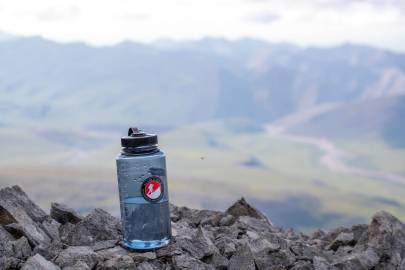
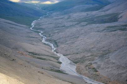
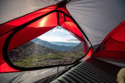
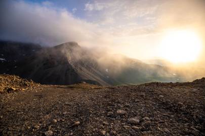
With it being decided that Fire Creek was only practical route out given the size of our loads I decided to get the ascent over with. I packed up camp and headed up along the creek. Upon entering the upper little valley, I turned east and headed for the ridge. By the time I was a half hour into the scramble I realized I forgot to get water. At this point I wasn't turning back now to go grab some.
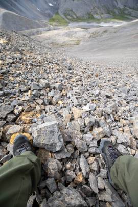
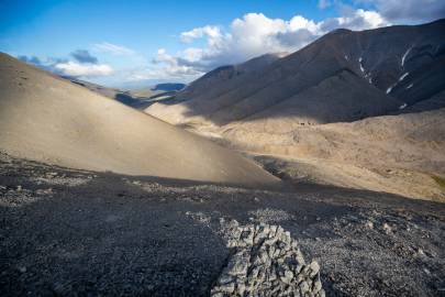
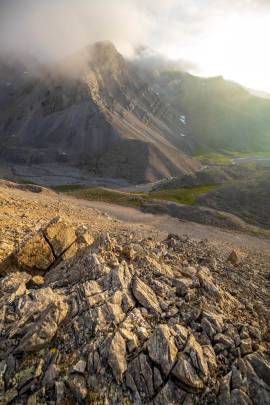
At only 550ft, a grade of 35 turning to 45 degrees, 75lbs (34kg) of gear and me being 153lbs (69kg) at the time, it was slow going. When the grade made a sharp incline I went another 15ft and found one of the only large boulders among the scree. I thought this was a good spot to rest and secure my packraft and food bag to my backpack so I could get better balance and stability. I set my camera down, followed by my packraft. Then, I swung my backpack around and the next thing I know my packraft is bouncing down the slope. It rolled and bounced nearly 300ft down before coming to a stop. Poop!
Not only was I frustrated about having to hike down and back up, but all the rocks in the Shublik Mountains are coarse. Who knows how many holes I just put in my packraft... I angled all my gear as best I could to ensure it wouldn't tumble down the mountain while left unattended. With no weight on my back the descent was a breeze. I reached the packraft and everything appeared alright. Now I just had to hike back up. If I hadn't just ascended up with so much weight it would have been a pleasant scramble. Being a little knackered I made it with the rest of my gear where I left it. I cautiously continued securing everything on to my pack, waited a few minutes, and then started back up towards the pass.
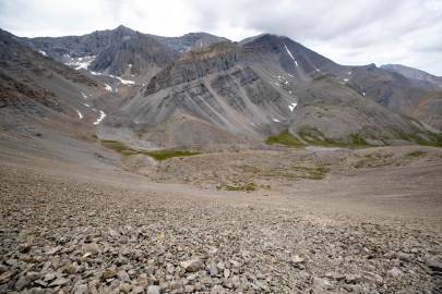
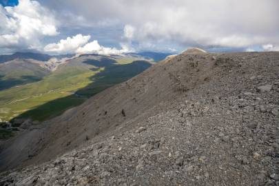
With around 100ft left to go my thighs were starting to go. Because the degree of the slope, the looseness of the scree, and the bulkiness of my pack, there was no way to sit and rest or do any position that wasn't facing the slope. Walking five minutes and pausing two, I eventually made it to the top relieved to have that behind me. Once on the ridge I realized I followed the wrong line and climbed about 70ft higher than needed if I went 500ft south...
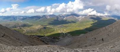
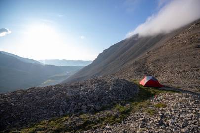
I made my way down to the pass and set up camp. After that incident I was feeling confident I made the right choice not attempting the pass west of the glacier. At this point I was wondering if Eric would have enough energy to hike from the LZ to the pass in one day.
There was a strong breeze moving through the pass, so I staked down the corners and attached some lines to the tent. Once I felt the tent was secure I grabbed my cameras, lens, snacks and some water from Fire Creek. The creek surfaces a few hundred feet from the apex of the pass, runs about 100ft and then disappears back into the rocks.
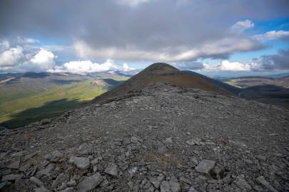
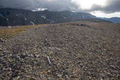
I hiked with minor scramble up the plateau mountain to the north. Once on top it was nice to know the rest of the day was level or downhill walking. The top of the plateau was covered in coarse rock. I was thinking it was probably a good idea Matt didn't land up here. But maybe his tundra tires would have handled it fine.
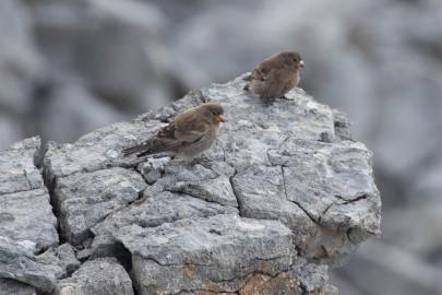
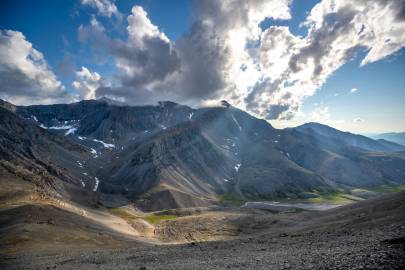
To the north the view stretched over the Katakturuk River, past the Sadlerochit Mountains on to the Arctic Ocean. I walked about a half-mile down the ridge. To the east I could see at least to Kikiktat Mountain. I was able to photograph some snow buntings on the walk back.
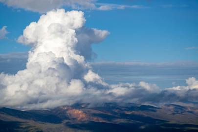
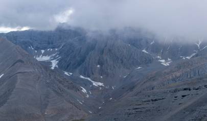
I figured I had seen as much as I could when a rain system moved in over the glaciers, which were now about a mile and a half away. I headed back down to camp in case it moved my way.
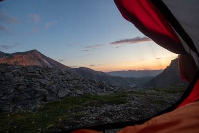
I ate dinner, and looked at the map trying best to analyze what alterations would work to get Eric and I out on schedule. I stayed up till 1am to watch the sunset.