Information About

Sadlerochit Mountains

Quick Facts

Open in The Map Sadlerochit Mountains on The Map

Location

69 ° 36' 16.999" N,
145 ° 20' 2" W

Region

North Slope

Nearest City

Kaktovik

Parent

Brooks Range

Mountains

Mount Weller,

Passes

Sunset Pass,

Elevation

4035 ft (1229.87 m)

Sadlerochit Mountains in Detail.

About

Trends E-W between Canning and Sadlerochit Rivers, 26 mi. NW of Mount Michelson, Brooks Range

History

Leffingwell (1919, p. 50, 51) wrote: "The outer two of the three outlying ranges south of Camden Bay have been given separate names * * *. The Sadlerochit Mountains are the northernmost."

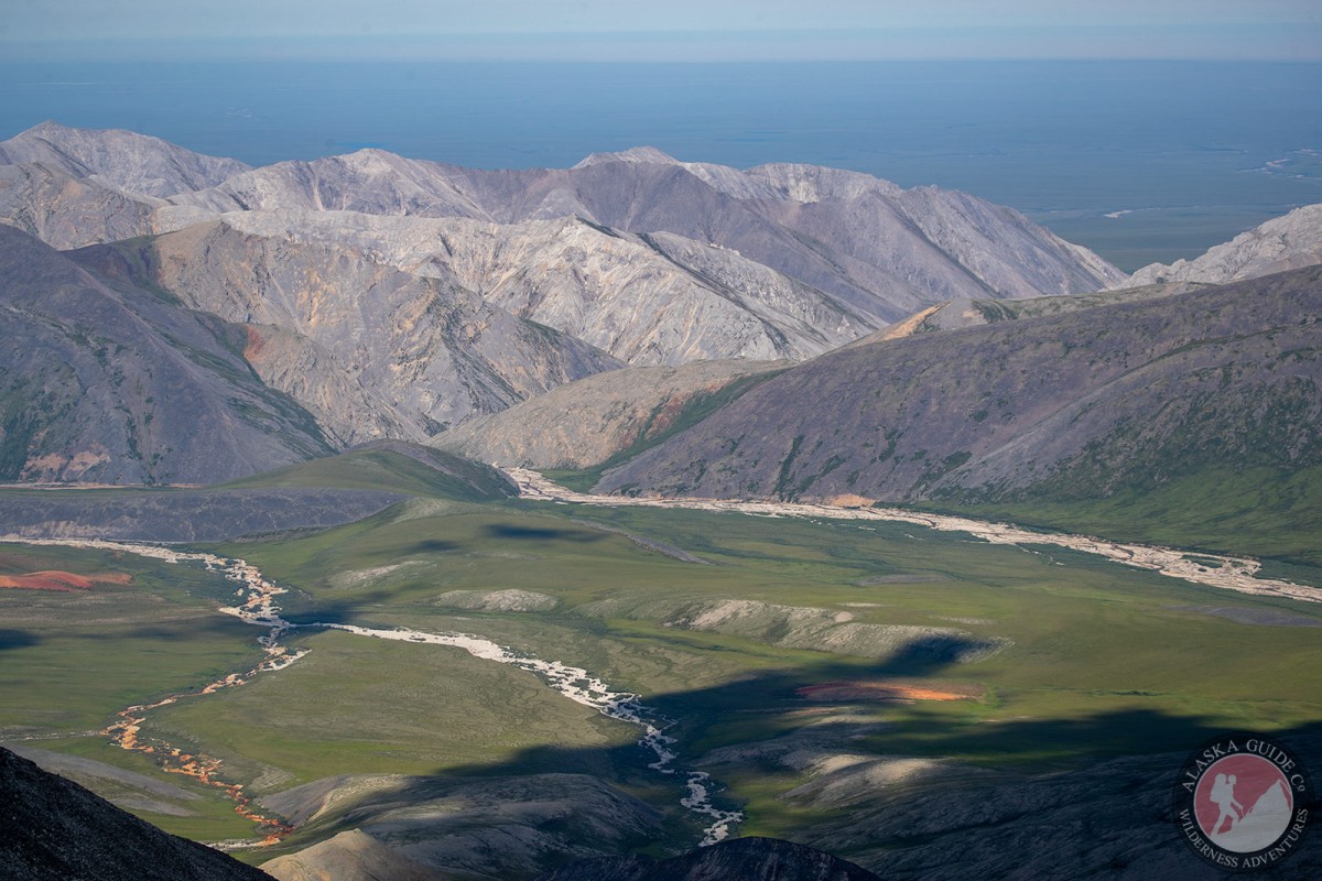
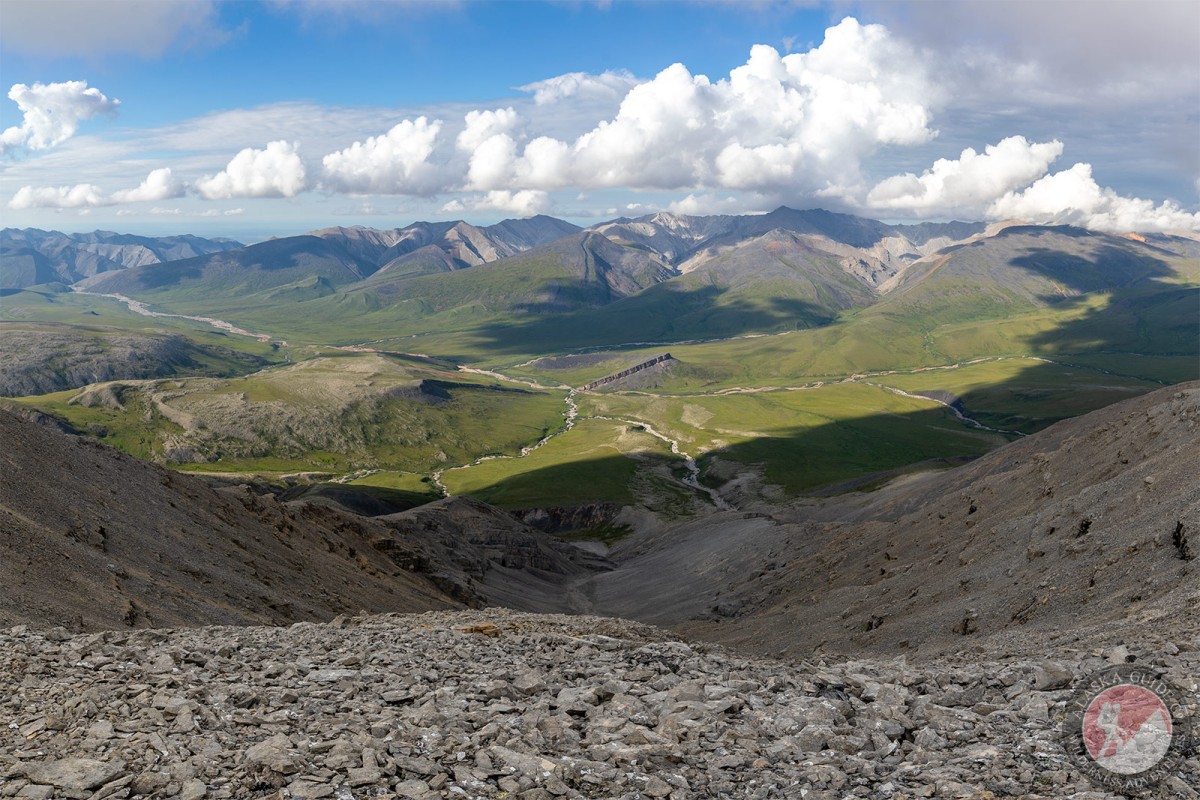
Sadlerochit Mountains Gallery

Pictures of, from, or near Sadlerochit Mountains.

Places Near Sadlerochit Mountains
Glaciers:

Northernmost Glacier,

Hills:

Catcher's Mitt,

Mountains:

Okiotak Peak,

Mountain Ranges:

Sadlerochit Mountains,

Rivers:

Nularvik River,

Streams:

Snow Creek, Straight Creek, Talus Creek,