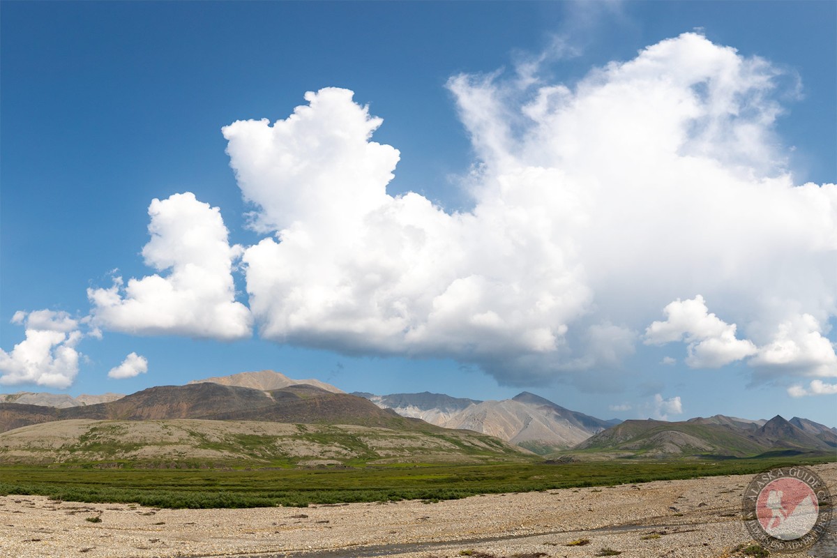
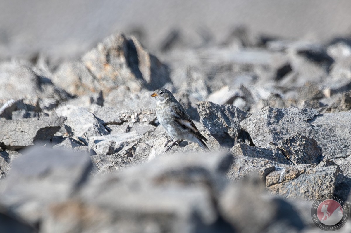
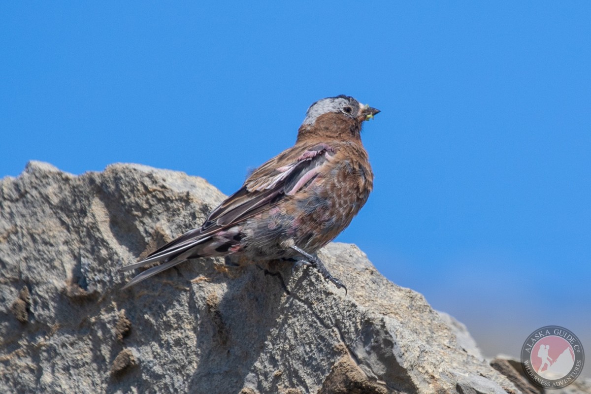
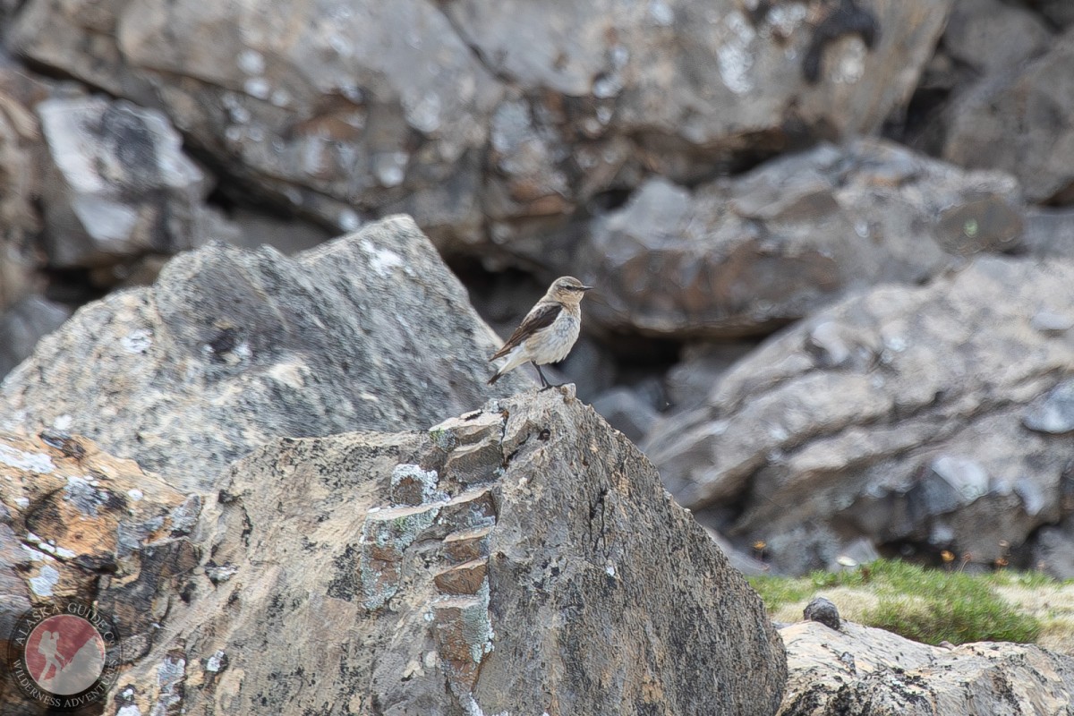
Shublik Mountains Gallery
Pictures of, from, or near Shublik Mountains.
On the E side of the Canning River, 5 mi. S of Sadlerochit Mts., trends E-W between Canning and Sadlerochit Rivers, 26 mi. NW of Mount Michelson, Brooks Range
Leffingwell (1919, p. 51) wrote: "The outer two of the three outlying ranges south of Camden Bay have been given separate names * * *. The middle range, called the Shublik Mountains, is shorter, wider and in general higher * * *."
Fourth Range, Shublik Mountains, Third Range,
Streams:Curve Creek, Hue Creek, Straight Creek,
Valleys:Pictures of, from, or near Shublik Mountains.