Growler Bay Gallery
Pictures of, from, or near Growler Bay.
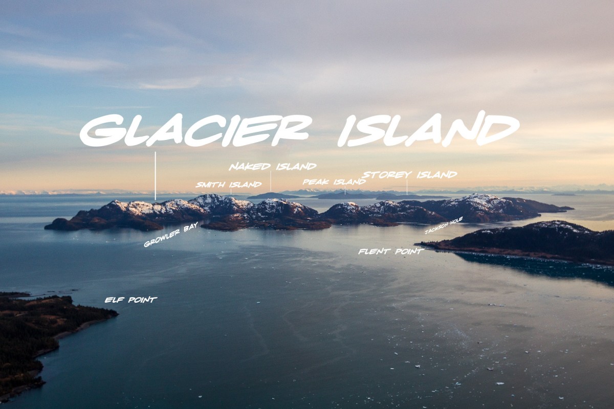
Growler Bay is located on northeast side of Glacier Island, and extends northeast to Prince William Sound, 54 miles northeast of Whittier, and 30 miles southwest of Valdez.
Growler Bay is 3 miles long and on average a half mile wide. The end of the bay makes for easy portage to Chamberlain Bay.
Growler Bay provides good anchorage near its head for small craft. The mouth of the bay is shallow upon approach then the bay gets deeper once inside. The only known offshore danger once well inside the entrance is several rocks are bare at low tide, situated along the south shore near the head of the bay. The east side of the channel should be favored when approaching the bay with depths as little as 9 feet reported off the entrance in midchannel, and shoals extend all along the east side of Growler Island, the island between Growler Bay and Elder Point.
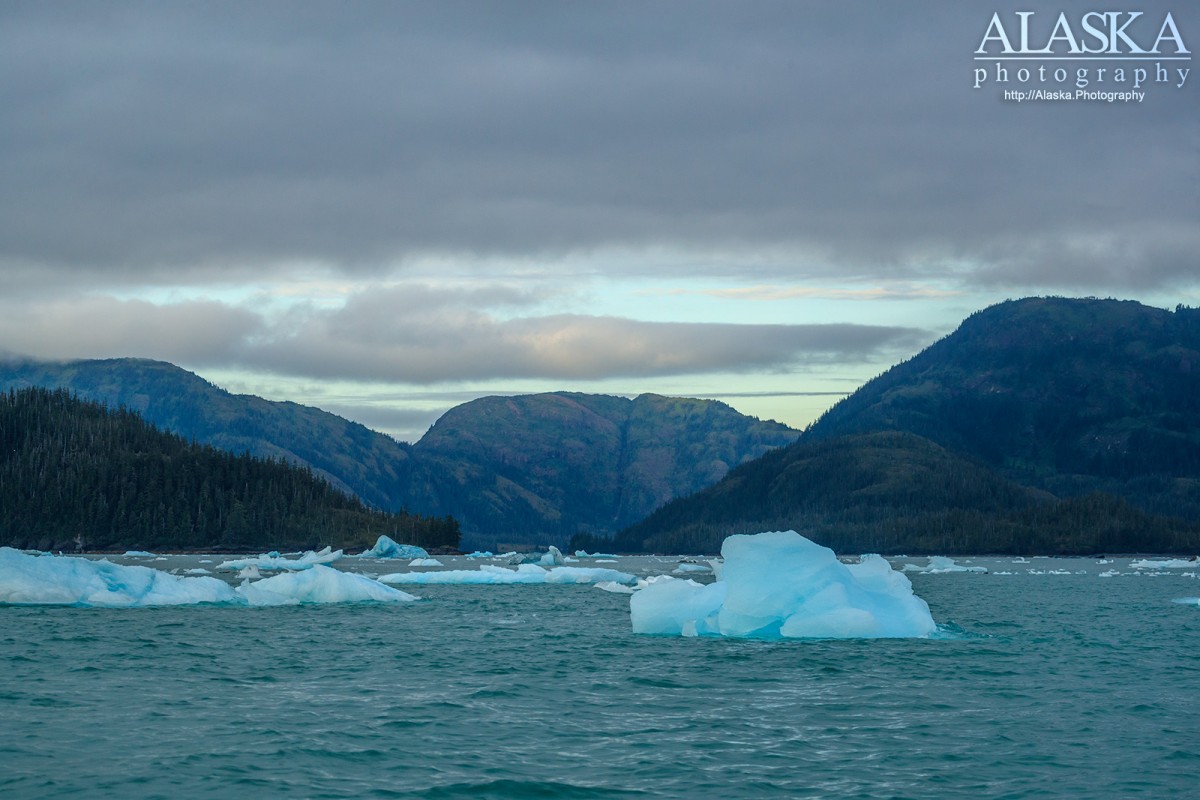
Local name reported in 1916 by J. W. Bagley, U.S. Geological Survey (USGS), "because of some ice seen in the water." A growler is a small piece of floating ice.
Buyers Cove, Campbell Bay, Chamberlain Bay, Columbia Bay, Eagle Bay, Eickelberg Bay, Emerald Cove, Finski Bay, Granite Cove, Growler Bay, Heather Bay, Heather Bay, Irish Cove, Jackson Cove, Jackson Hole, Jade Harbor, Long Bay, Useless Cove,
Capes:Point Freemantle, Bull Head, Cave Point, Elder Point, Elf Point, Finski Point, Flent Point, Iceberg Point, Long Point, Slipper Point,
Channels:Islands:Glacier Island, Growler Island, Heather Island, Schrader Island,
Lakes:Billys Hole, Kadin Lake, Terentiev Lake,
Mountains:Mount Freemantle, Round Mountain,
Rivers:Routes:Pictures of, from, or near Growler Bay.