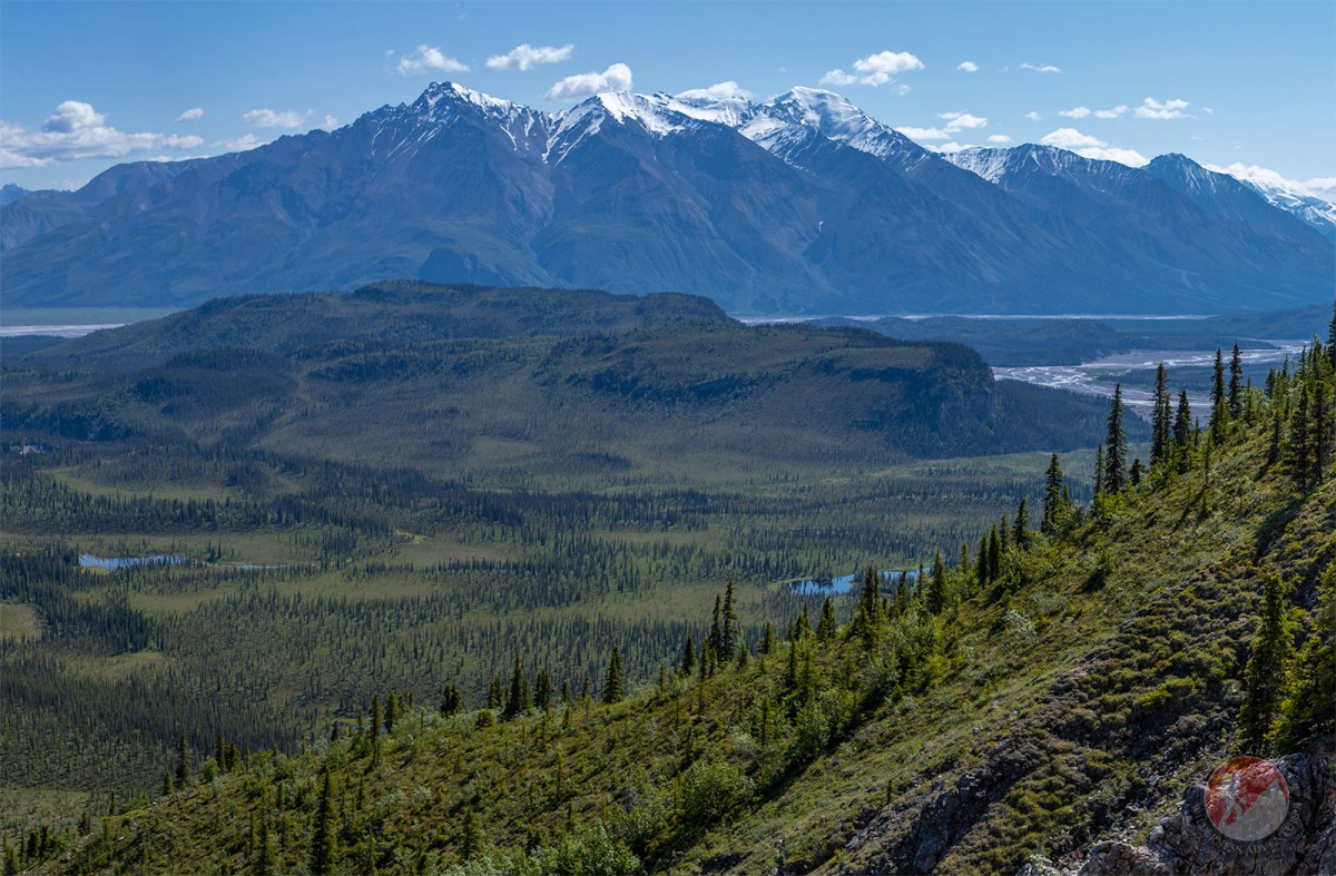
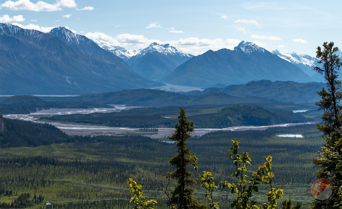
Jacksina Creek Gallery
Pictures of, from, or near Jacksina Creek.
heads at Jacksina Glacier and flows NE to Nabesna River, 5 mi. SE of NABESNA, Wrangell Mts. 26 miles long.
Prospectors' name, a combined personal name with an indian ending (-na) meaning stream, or river, reported in 1902 by F. C. Schrader, U.S. Geological Survey (USGS). Schrader gave the Indian name of the stream as "Di=bot=i=chit=in=da."
Big Grayling Lake, Christy Lake, Fish Creek Lake, Gillam Lake, Karen Lake, Punk Lake, Soda Lake, Virginia Lake, Whitham Lake, Windy Lake,
Mine:Mountains:Devils Mountain, Gold Hill, Keenan Peak, Orange Hill, White Mountain,
Mountain Ranges:Streams:Bond Creek, Cabin Creek, Camp Creek, Camp Creek, Canyon Creek, Cooper Creek, Fish Creek, Jack Creek, Jacksina Creek, Monte Cristo Creek, Nikonda Creek, Platinum Creek, Skookum Creek, Soda Creek, Totschunda Creek,
Routes:Valleys:Cliff Gulch, Garnet Gulch, Porphyry Gulch, Swede Gulch,
Cities:Pictures of, from, or near Jacksina Creek.