Doame River Gallery
Pictures of, from, or near Doame River.
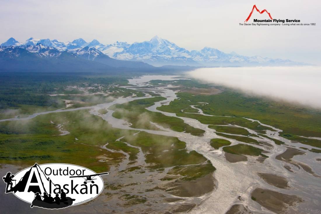
heads in Upper Doame Lake, flows N and SW to Gulf of Alaska, at E end of Dry Bay, 59 mi. SE of Yakutat, St. Elias Mts. 17 miles long.
Local name published in 1959 by U.S. Geological Survey (USGS).
Alsek Lake, Lower Doame Lake, Upper Doame Lake,
Parks:Glacier Bay National Preserve,
Mountain Passes:Mountain Ranges:Rapids:Rivers:Doame River, East Alsek River, South Fork Doame River, Taaltsug River, Tlegan River, Vankahini River,
Streams:Clear Creek, Emile Creek, Gines Creek, Shack Creek, Split Creek,
Routes:Pictures of, from, or near Doame River.