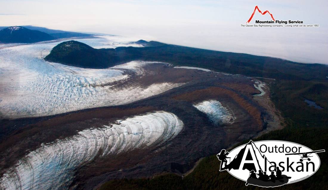
South Dome Gallery
Pictures of, from, or near South Dome.
in Glacier Bay National Monument, between La Perouse and Finger Glaciers, 2.6 mi. N of Gulf of Alaska and 69 mi. NW of Hoonah, St. Elias Mts.
Local name published by U.S. Geological Survey (USGS) in the 1950's.
Dagelet Glacier, Finger Glacier, Huscroft Glacier, Klooch Glacier, Lookout Glacier, North Crillon Glacier, La Perouse Glacier, South Crillon Glacier,
Lakes:Mountains:Mount Bertha, Cairn Peak, Carin Peak, Mount Crillon, Mount Dagelet, Mount Klooch, Mount La Perouse, Mount Marchainville, Middle Dome, North Dome, Ptarmigan Dome, South Dome, Mount Wright,
Mountain Ranges:Rivers:Streams:Valleys:Pictures of, from, or near South Dome.