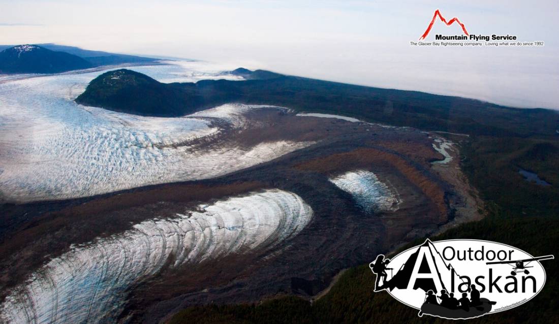
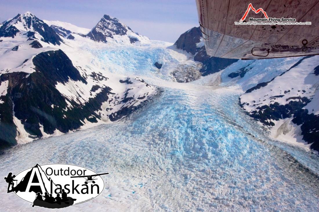
La Perouse Glacier Gallery
Pictures of, from, or near La Perouse Glacier.
In Glacier Bay National Monument, heads on S slope of Mount Crillon, trends S to Gulf of Alaska, 8 mi. NW of Icy Point, 71 mi. NW of Hoonah, St Elias Mts.
Named by W. H. Dall, U.S. Coast and Geodetic Survey (USC&GS), in 1874 for Jean Francois de Galaup de la Perouse, 1741-88, a French navigator who explored the coast in this area in 1786. The name was published in the 1883 Alaska Coast Pilot (p. 201). La Perouse was a member of the French Navy, and in 1782 was sent to Canada to attack the British forts on Hudson Bay. In 1785 he was given command of an expedition of exploration by Louis XVI. With two ships, the LaBoussole and L'Astrolabe, he sailed in 1786 from the Sandwich Island to the Alaskan coast in the neighborhood of Mount St. Elias, where he mapped the coast and studied the Indians. On the way home from his explorations his two ships and crew were lost. Parts of his ships were found in 1827 on Santa Cruz I. in the New Hebrides in the South Pacific.
Cascade Glacier, Dagelet Glacier, Finger Glacier, Huscroft Glacier, Klooch Glacier, Lookout Glacier, North Crillon Glacier, La Perouse Glacier, South Crillon Glacier,
Lakes:Mountains:Mount Bertha, Cairn Peak, Carin Peak, Mount Crillon, Mount Dagelet, Mount Klooch, Mount La Perouse, Mount Marchainville, Middle Dome, North Dome, Mount Orville, Ptarmigan Dome, South Dome, Mount Wilbur, Mount Wright,
Mountain Ranges:Ridges:Rivers:Streams:Valleys:Pictures of, from, or near La Perouse Glacier.