Mount Natazhat Gallery
Pictures of, from, or near Mount Natazhat.
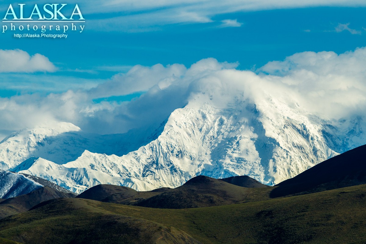
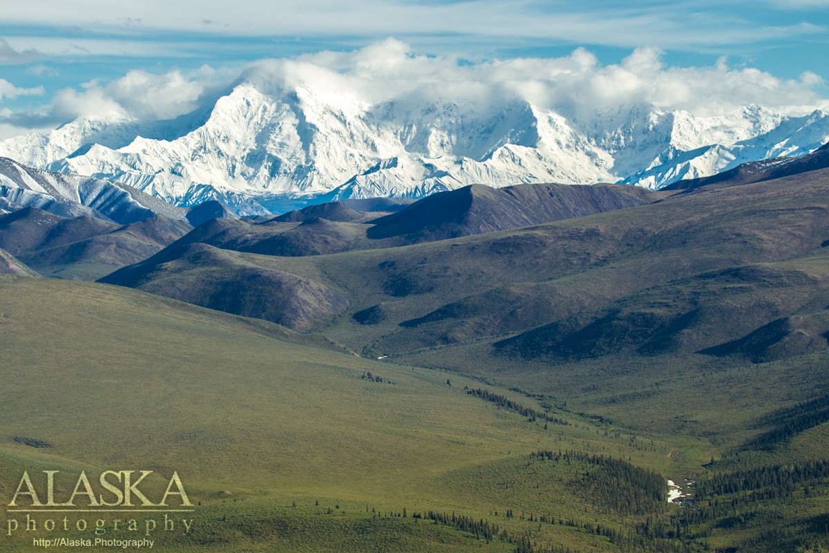
Mount Natazhat is a massive mountain, with its peak standing 10,000ft above the White River valley. Its peak is 3 miles inside the Alaska-Canada border. Natazhat Glacier heads on the east slope.
Climbing Mount Natazhat has been described as an Alaska Grade 3+ through Alaska Grade IV-.
The cheapest option is flying out of McCarthy and down along White River. Base camp is usually on a small glacier at 7,600ft, north east of the peak, just east of point 9072, (approx. 61.5547, -141.0299).
Natazhat was a native name reported in 1891 by Hayes (1892, sheet 2), U.S. Geological Survey (USGS).
The first ascent of Mount Natazhat was June 1913 by a Canadian team taking an approach from the south. It is said that conditions have changed and this route is no longer feasible.
The second ascent was April 1997 by an American team tackling the northeast ridge. The expedition took six days to complete from the base camp at 7,600 ft.
Guerin Glacier, Klutlan Glacier, Natazhat Glacier,
Mountains:Peaks:Bruin Peak, The Cub, Kuma Peak, Oso Peak, Panda Peak, Polar Peak, Sow Peak,
Streams:Pictures of, from, or near Mount Natazhat.