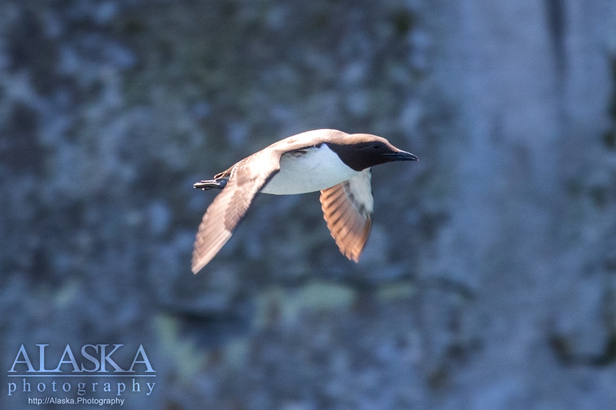
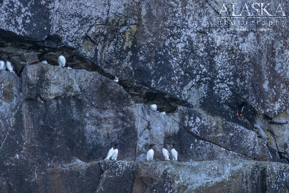
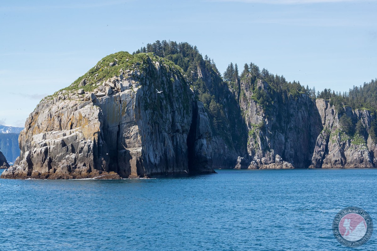
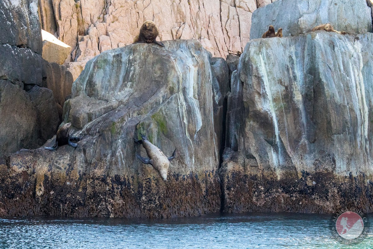
Natoa Island Gallery
Pictures of, from, or near Natoa Island.
2 mi. SE of Harbor I., in Gulf of Alaska, 34 mi. S of Seward, Chugach Mts.
Named by the 1912 U.S. Coast and Geodetic Survey (USC&GS) field party; it is an "Eskimo word meaning 'summit', this being the highest spot on any island in this vicinity."
Agnes Cove, Aialik Bay, Bear Cove, Cataract Cove, Chat Cove, Cliff Bay, Crater Bay, Fire Cove, Holgate Arm, McMullen Cove, Paradise Cove, Pony Cove, Porcupine Cove, Quicksand Cove, Ripple Cove, Taz Basin, Three Hole Bay, Tooth Cove,
Capes:Aialik Cape, Aialik Peninsula, Granite Cape, Holgate Head, Three Hole Point, Toe Point,
Channels:Cheval Narrows, Dora Passage, Granite Passage, Harding Gateway, Petes Pass,
Hills:Islands:Beehive Island, Chat Island, Cheval Island, Chiswell Island, Dora Island, Granite Island, Harbor Island, Hub Rock, Lone Rock, Matushka Island, Natoa Island, No Name Island, Pilot Rock, Seal Rocks, Twin Islands, Verdant Island,
Pictures of, from, or near Natoa Island.