Cenotaph Island Gallery
Pictures of, from, or near Cenotaph Island.
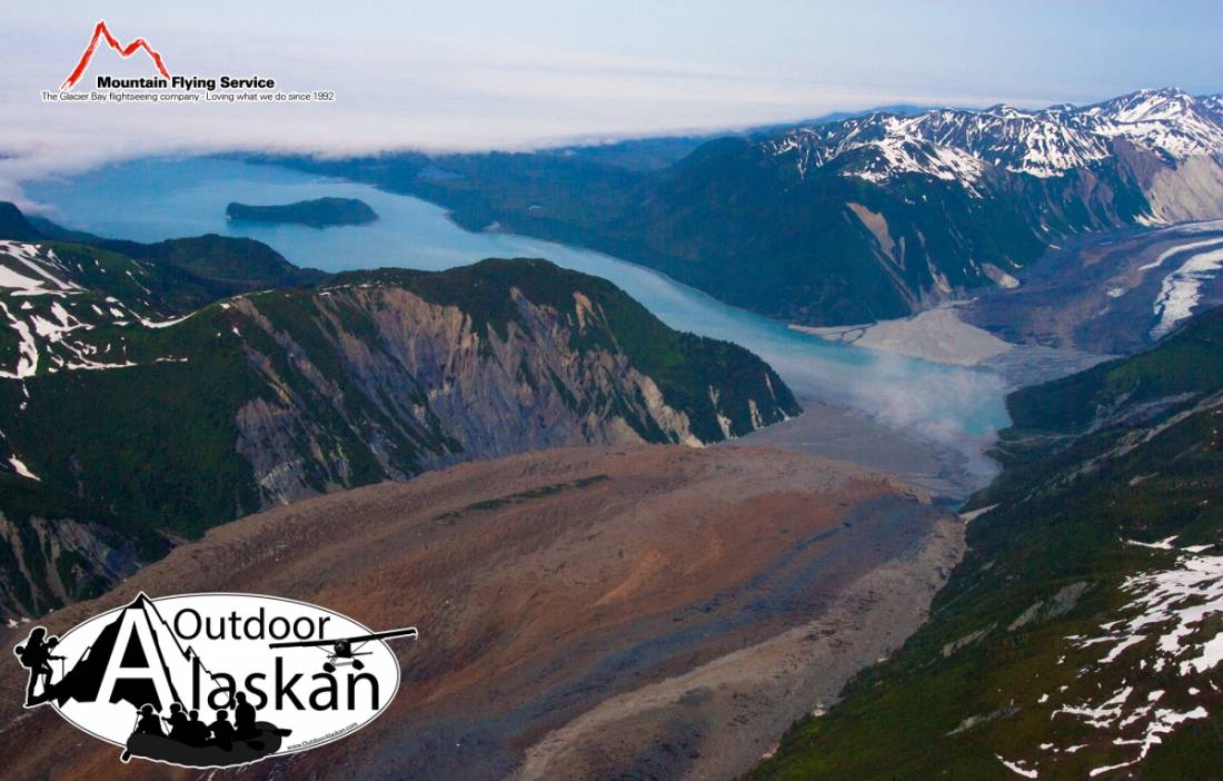
in Lituya Bay, in Glacier Bay National Monument, 3 mi. NE of Harbor Point, 86 mi. NW of Hoonah, Malaspina Coastal Plain
Named "Isle du Caenotaphe" in 1786 by Captain La Perouse (1797, atlas 19), in memory of 26 members of his crew who, in that year, were drowned at th e mouth of Lituya Bay when their two boats were caught in a strong ebb tide. A cenotaph, or memorial, was erected at that time on the southeast end of the island to commemorate the event, but no trace of it has been found. The island was called "O(strov) Yaichnoy," meaning "egg island," by Captain Tebenkov (1852, map 7), Imperial Russian Navy (IRN).
Cormorant Rock, La Chaussee Spit, Passage Rock,
Bays:Anchorage Cove, Crillon Inlet, Gilbert Inlet, Lituya Bay,
Capes:Cenotaph Point, Harbor Point, Three Saints Point,
Glaciers:Cascade Glacier, Desolation Glacier, Fairweather Glacier, Huscroft Glacier, Lituya Glacier,
Hills:Islands:Lakes:Crillon Lake, Fish Lake, Grassy Pond,
Mountains:Bald Mountain, Bay Peak, Mount Escures, Grassy Mountain, Lituya Mountain, Mount Salisbury, South Billy Goat Mountain,
Ridges:Grassy Ridge, Solomon Railroad,
Rivers:Streams:Boulder Creek, Butcher Creek, Campbell Creek, Coal Creek, Eagle Creek, Echo Creek, Fall Creek, Fish Creek, Fourmile Creek, Justice Creek, Mineral Creek, Mudslide Creek, Portage Creek, Steelhead Creek, Topsy Creek, Whale Creek,
Valleys:Pictures of, from, or near Cenotaph Island.
Sorted by Most Common to Least Common Viewings
Surf Scoter, Marbled Murrelet, Glaucous-winged Gull, Pelagic Cormorant, Black-legged Kittiwake, Peregrine Falcon, Long-tailed Jaeger, Pigeon Guillemot, Cassin's Auklet, Red-throated Loon, Common Loon, Great Blue Heron, Bald Eagle, Common Raven