Gabriel Icefall Gallery
Pictures of, from, or near Gabriel Icefall.
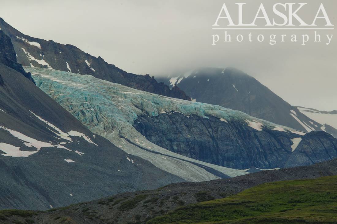
700 ft., extends W from Glacier S of Skull Peak, 17 mi. NNE of Paxson, Alaska Range
Named between 1948 and 1955 by T. L. Pewe, U.S. Geological Survey (USGS).
Broken Glacier, Canwell Glacier, Castner Glacier, College Glacier, Eel Glacier, Gabriel Icefall, Gerstle Glacier, Gulkana Glacier, McCallum Glacier, Moore Icefall, Pegmatite Glacier, West Gulkana Glacier,
Lakes:Crystal Lakes, Gunn Lakes, Lower Fish Lake, Otter Lake, Oxbow Lake, Rock Lake, Sevenmile Lake, Summit Lake, Swampy Lakes, Two Bit Lake, Upper Fish Lake,
Mountains:Black Cap, Cony Mountain, The Hoodoos, Icefall Peak, Institute Peak, M-Ladies Mountain, Minya Peak, Ogive Mountain, Old Snowy, Rainbow Mountain, Sight Peak, Mount Silvertip, Skull Peak, Snow White, Traingle Peak, Tusac, White Princess,
Mountain Passes:Ridges:Streams:College Creek, Fish Creek, Gunn Creek, West Phelan Creek,
Routes:Gulkana Glacier Trail, Trans-Alaska Trail - Paxson to Summit Lake, Trans-Alaska Trail - Summit Lake to Black Rapids,
Cities:Pictures of, from, or near Gabriel Icefall.