Almost Overlooked Expedition - Journeying to Northernmost Glacier

By Zachary Sheldon | Published Jan 29, 2024
Tagged with

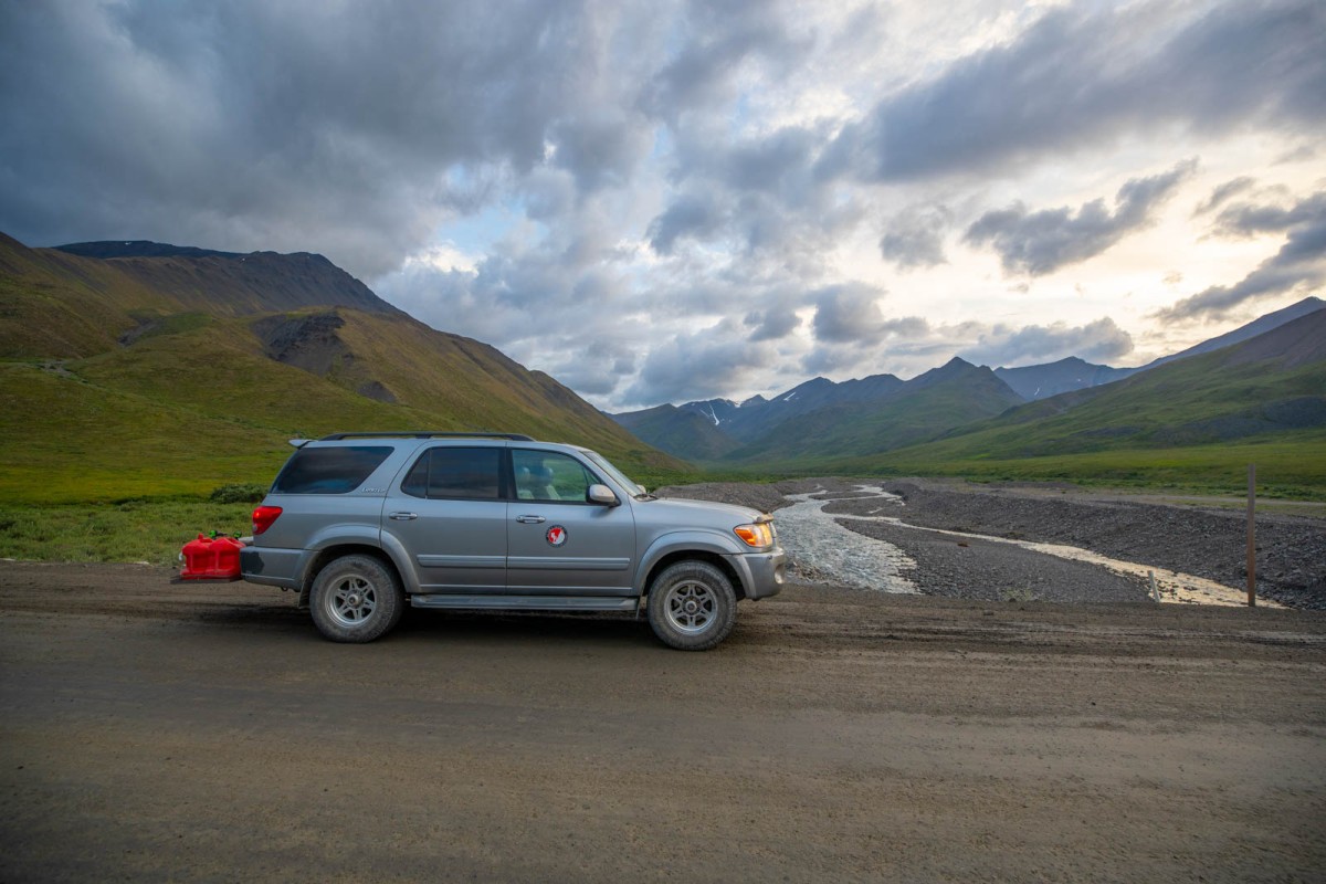
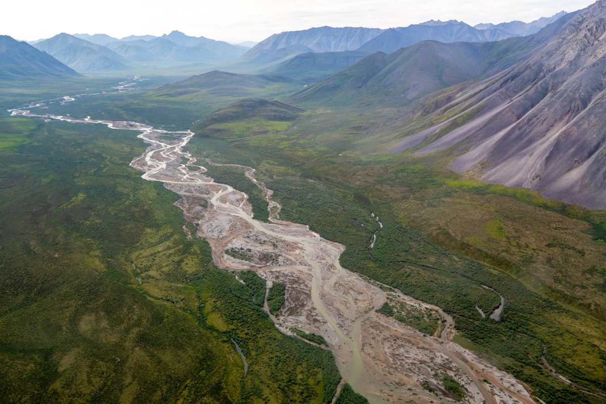
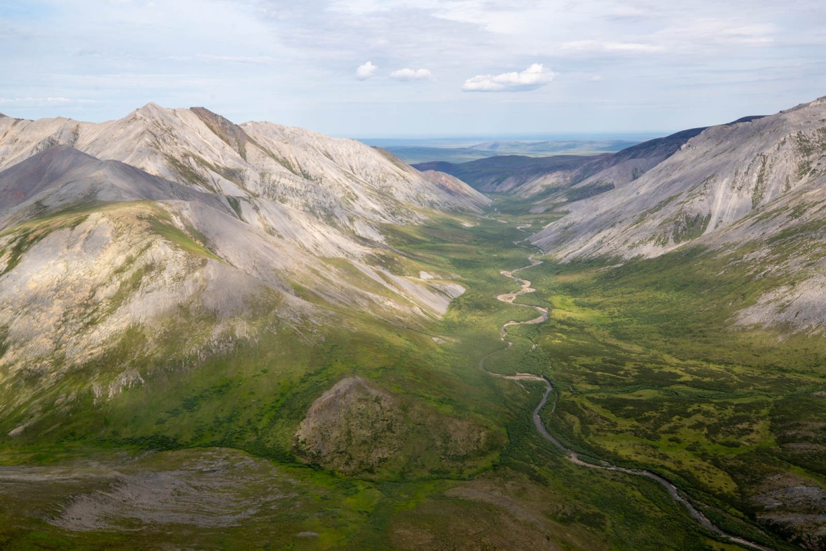
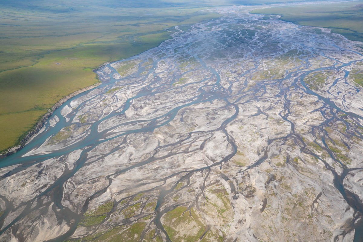
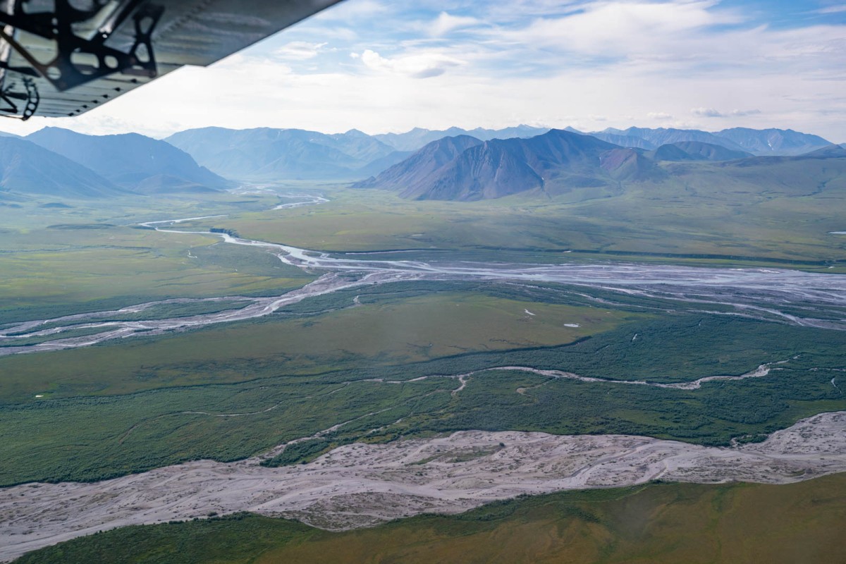
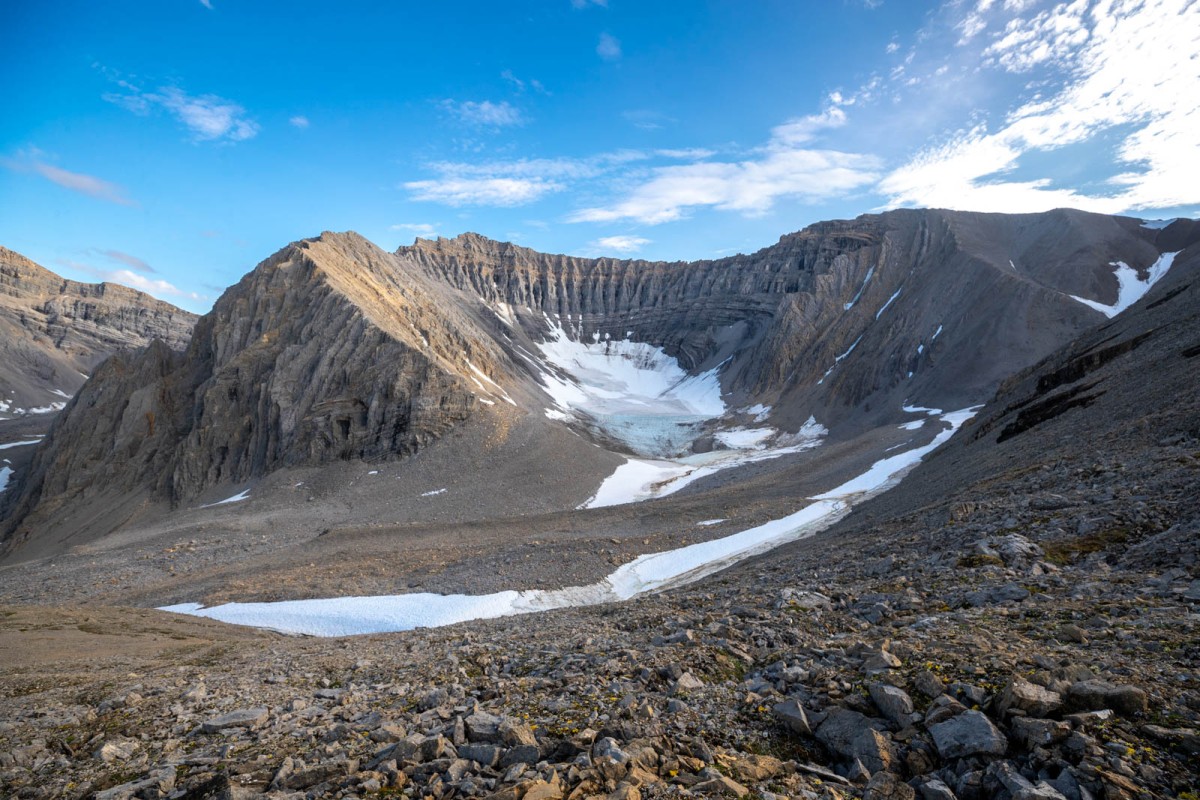
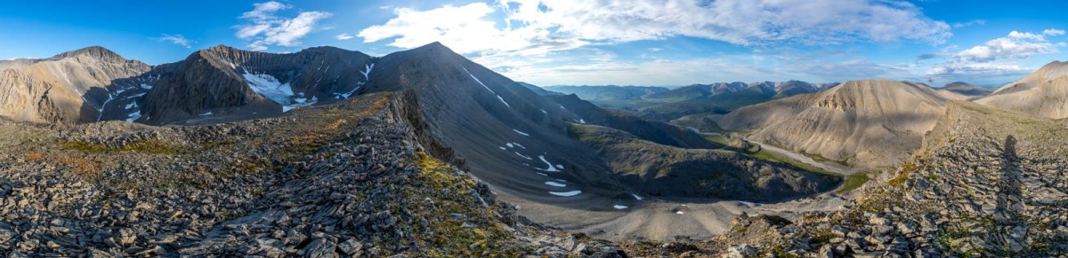
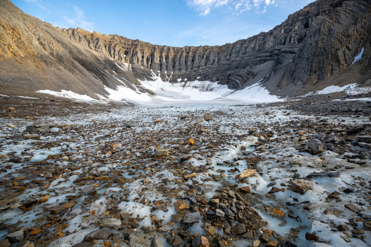
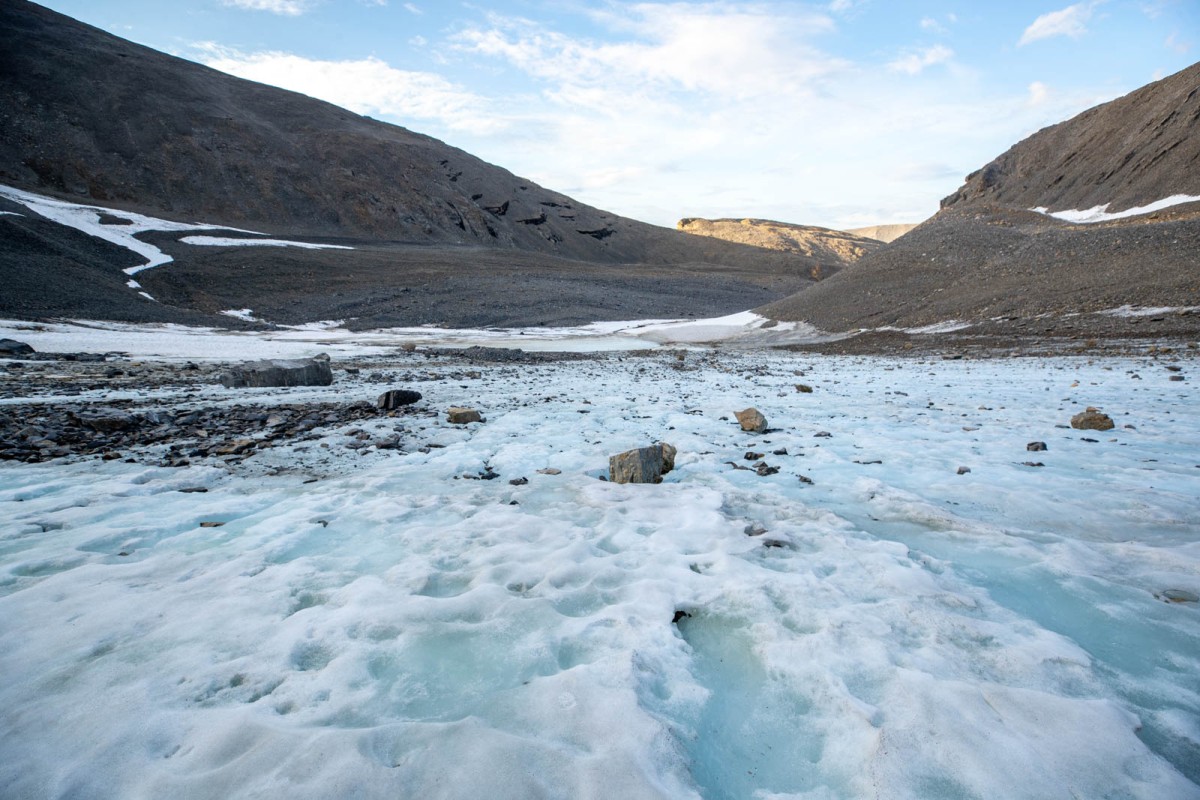
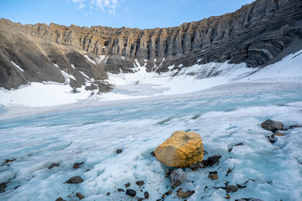
It was foggy when I got woke up on July 20, 2023, and finished moving everything into the 2006 Toyota Sequoia. I felt a bit guilty driving a big SUV 800 miles north with only one passenger, especially when the point of the expedition was to document a glacier before it vanished from an accelerated demise thanks to global warming. But there was no way I was going to attempt the drive in a Civic and the Pilot was in no condition to make the drive to Fairbanks let alone the Haul Rd.

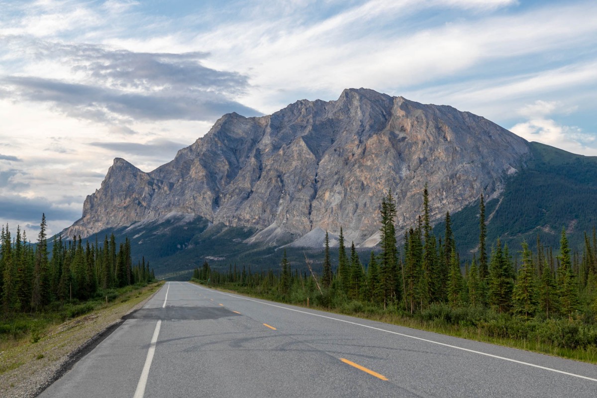
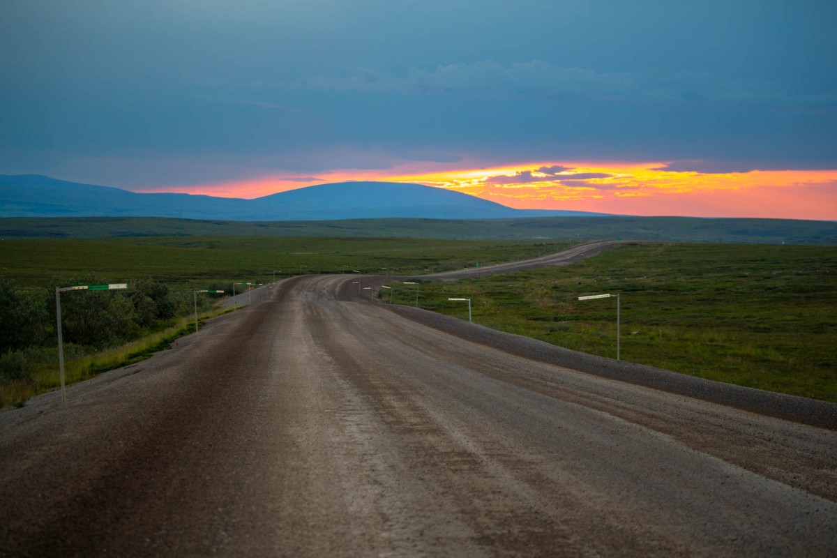
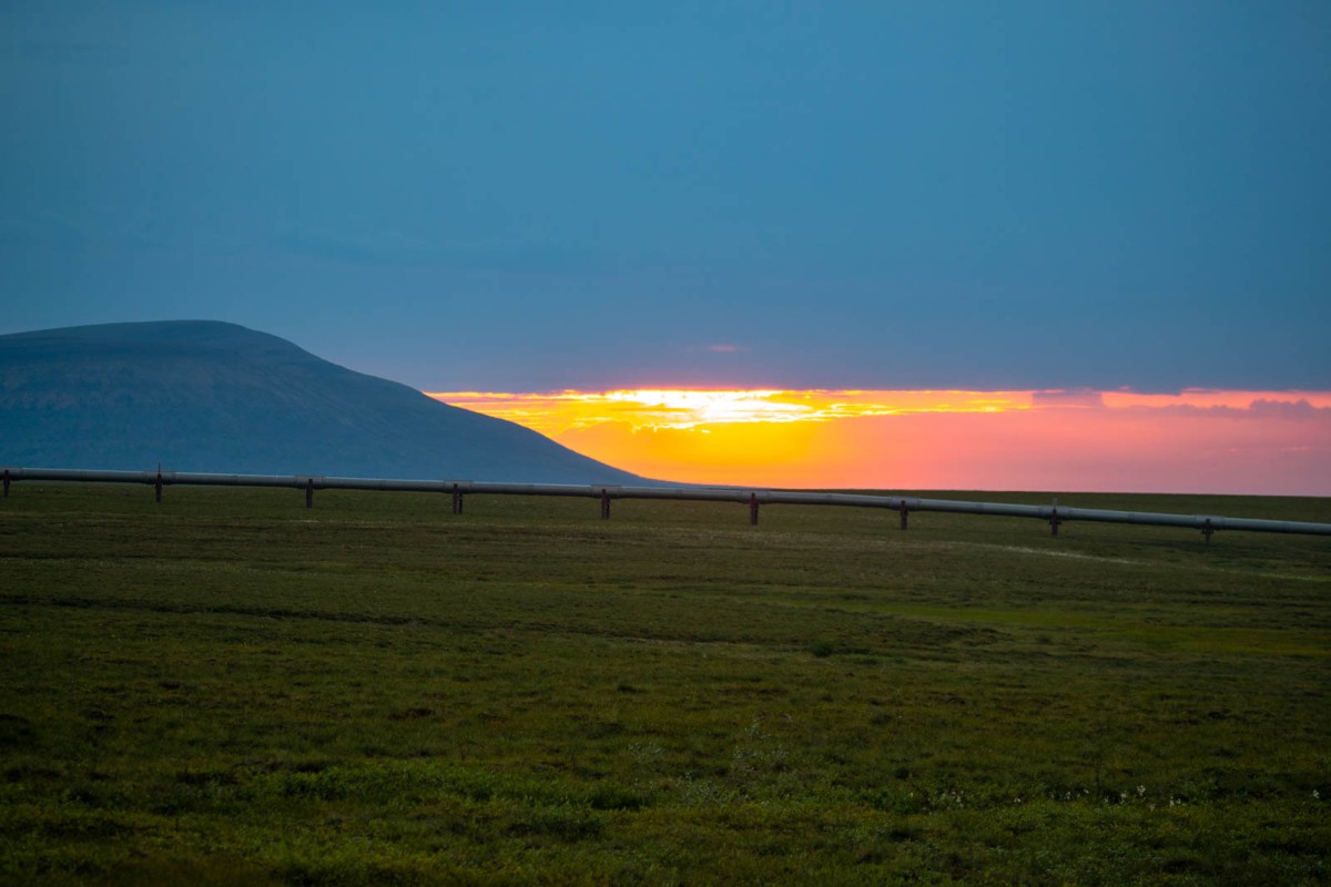
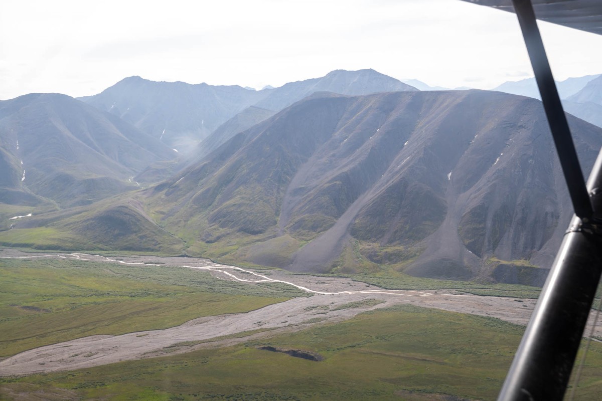
On the road just before 9am, and within a couple miles the fog broke, and it was a beautiful drive and great weather. It was fantastic weather the entire 16-hour drive over the Brooks Range and on to Happy Valley Airstrip. The last hour of the drive the sun hung at on the horizon just as my gas gauge neared empty. I pulled into Happy Valley, backed into a spot near the Silvertip Aviation base and then began to fold up seats and inflate my air mattress. I got everything situated for a comfortable last sleep before heading solo into the backcountry. All that was left to do was empty the four gas cans into the tank and relieve my bladder. I threw on my Gore-Tex jacket threw the hood up and then finished it off with my hat and bug net. I figure I averaged about 3 mosquitoes for every gas can made it up under my net and irritated the heck out of me while filling up. I didn't even bother to tie the cans back up. If someone wanted to steal them, I already got the gas I needed. It was almost 2am, I just wanted out of the mosquitoes and into bed, I didn't care.

7am, I woke up and messaged Matt. He had some things to finish out at the lodge before heading out. Around 9:30 Matt showed up at the strip. We loaded my gear and a few things he needed to grab, and we flew out to their lodge along the Ivishak River. We stopped in for a bit and I was offered a hearty breakfast to which I declined, (I was curious to see how much weight I could drop on this trip and minimal manageable caloric intake.) After good conversations, about an hour later we set off for Northernmost Glacier. It was a beautiful flight over empty tundra landscape.

Most of the flight was north of my intended return route but as soon as we approached Canning River I was able to see first hand the country I'd be crossing days later. As we flew up Cache Creek and peeled off north, over the fork that runs south out of the valley south of Northernmost Glacier it first became apparent our exit route was going to need some tweaking. The plan was to packraft the drainages, but that was going to be difficult seeing as they ran dry in several places.

We proceeded down Fire Creek to the northeast and then turned west up a fork to spit us out north of Northernmost Glacier. Matt sounding a little unimpressed comes through the headset, "Well, there's your glacier..." From that vantage we could only see the sister rock glacier. I chuckled a little bit and responded "No, fly a little bit further it's behind that ridge." Within a few seconds Matt had an "Aha" moment. We crossed in front for a view, then Matt began circling looking for a place to land. We were directly above where I was hoping to land but with winds the narrowness of the valley that wasn't an option. We assed another option atop the plateau like mountain northeast of the glacier but once again the winds weren't favorable.

In the end we set down 2.5 miles north of my intended camp. Matt and I scouted out a line for him to take off from. I stood at the end as a marker as he turned and approached me, shortly after passing me he was off the ground climbing to the southeast before banking around, flying overhead, off, then gone. I was alone.

It was a warm summers day in the low 70's. I threw on my pack, picked up my food pack and packraft and began to lumber across the minor tussocks and up the hillside. I had my hat and head net on, but thankfully the bugs were light enough I could get by with a t-shirt. I reached the creek I intended to camp near and ten minutes later it ran dry. I moved up the valley and thankfully within twenty minutes of hiking it was back to flowing along the surface. Two hours from Matt leaving, a storm rolled in just as I got to camp. I dropped my packs, put up my tent, inflated my mattress, rolled out my sleeping bag and got warm and comfortable listening to the wind and the rain. The next thing I know I was waking up from a 3-hour nap.

Finally feeling rested and a lot less burdened I began hiking up the creek. It was a pleasant hike up the stream, after making the bend the valley narrows and the sides are lined with scree. After scrambling up about 120ft there's a bench above the creek. Down below the creek bed begins to widen out and lead over to the rock glacier. My destination lead me up another 350ft scramble. Now eye level with the rock glacier, a few patches of glacier ice peeked through the snow.

I proceeded along the outside northern edge of Northernmost Glaciers moraine. It was a lull filled with snow and the moraine wall prevented me from seeing the glacier. The snow field opened along the northern edge, and I took a drink as a stream ran over the snow before disappearing back under it. As I got higher up the field I kept my eyes down. I had envisioned this moment for months. The perfect angle in which to view the glacier from. I pulled my hat lower over my brow and moved south up on to the moraine. It eventually leveled out. I found a large rock to set my tripod on. I wanted to capture the genuine moment I got so see my glacier. I walked back, raised my hat, turned around and walked up the moraine once more. This time eagerly scanning the ridge and everything behind it as I ascended the slope.

There it was, Northernmost Glacier. It was real. It was really there, still around, a little outlier, existing where glaciers weren't supposed to exist. I made it, my pilgrimage to be its paparazzi and share this little glaciers story. A story of the little guy, who was doing what said wasn't possible, all while nobody noticed. For the most part as I write this much of the world doesn't know its story, but, it's now found labeled on most online maps, and in the GLIMS database. A year ago, it wasn't on any map. Not just not labeled, but the maps showed it as bare ground. But it's been recorded. In that moment it was photographed from the ground. If someone stood there 50 years from now they can see what it looked like when it survived.

I felt a personal sense of accomplishment, it was an overwhelming feeling of peace. It wasn't a dream anymore it was an achievement.

As I packed up my gear to keep exploring, I noticed there were countless fossils in the rocks. I'm not a fossil or geological expert so sadly I can't offer much insight beyond photos.

I proceeded south up the ridge opposing the glacier to get a better perspective and photograph a sense of place for the glacier. The weather remained perfect and the bugs scarce. I enjoyed the scenery and half dozen little birds staying on the ridge always flying before getting a good photo or proper identification. I would later get some, turns out they were snow buntings. I found a feature I would call the Yellow Brick Road, though only while thinking to myself.

I proceeded down, finally to set foot on the glacier. There was a large snowfield at the base with swift little streams. I walked around the glacier mostly just taking it in and enjoying the moment until. Most of the lower ablation zone was covered in small rocks. It was the loudest glacier I'd ever been on. Below the firn line water was flowing over the entire surface. Typically, glaciers will form main meltwater streams, but this was more like a meltwater cascade. Nearing the firn line the rocks quickly abated.

It was 8pm and I figured I should descend down to camp, eat something, and try to get on a normal sleep schedule. Just over an hour later I was back at camp. I laid there looking at the map on my inReach. The original plan was to camp in the saddle west of the glacier but after hiking up there and looking at it, it was a long way from water and a steep ascent. The descent on the backside had to be even steeper. Then considering how the drainages were shallower that expected or ran dry it was looking like the best exit was heading east over the saddle into the Fire Creek drainage.