Thompson Pass Ski Map and other routes

By Zachary Sheldon | Published Dec 8, 2017
Tagged with

New Check out our interactive map of Thompson Pass for easy navigation.

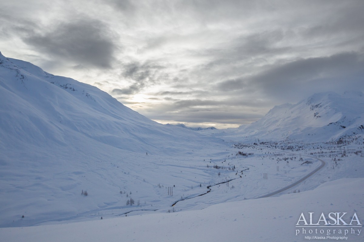
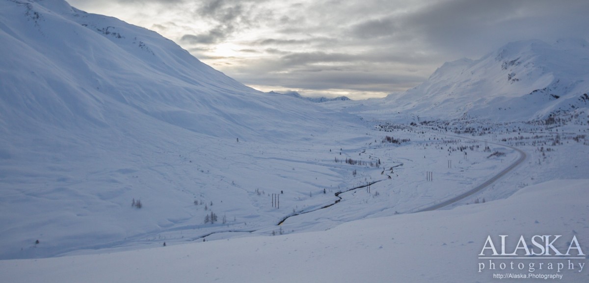
This is an evolving article to keep current on the local names and runs in the Thompson Pass / Valdez area. It will have links to maps and other information. If you're looking for fast fun lifts along Thompson Pass, Tok Air Service has ski plane bumps and ski camps for those looking to spend more time skiing and splitboarding in pristine powder.

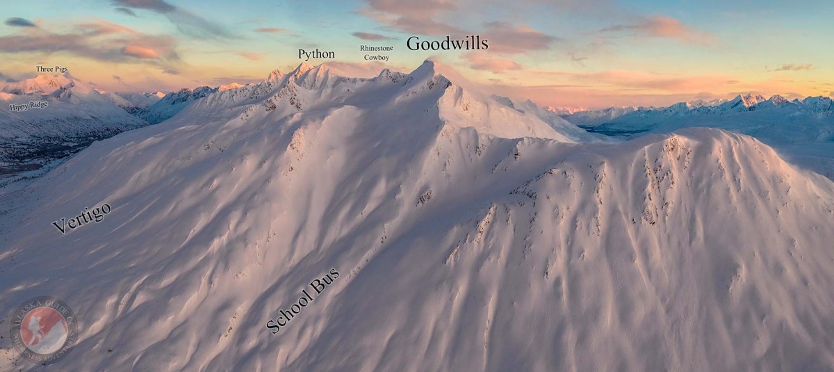
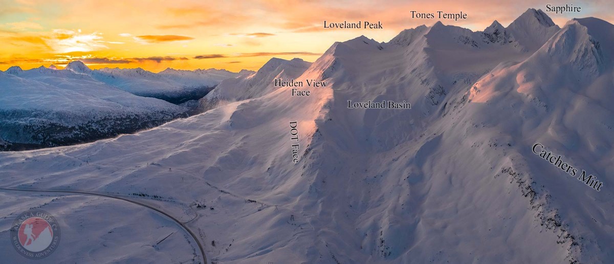
Right now there are a couple different types of Thompson Pass maps and we are working to collectively compile one map or set of maps with uniform information so that things are a little clearer. When it comes to backcountry safety it is important that everyone is on the same page when using location names. Please if you have any critique or comments please be sure to send them our way via the contact page.

The current maps available are:

Thompson Pass, miles 16-49 of the Richardson Highway,

Valdez A-5 NW (Includes: Loveland, Catchers Mitt, Worthington Glacier, Girls).

Valdez A-5 NE (Includes: Vertigo, Snatch, Nick's Happy Valley, Heavenly, Python, Cracked Ice, RFS, Diamond).

Valdez A-4 NW (Includes: Promise Land, Crudbusters, 40 and a half Mile Wall).

Valdez A-4 NE (Includes: Spaghetti Chutes, Cauliflowers, Aftermath).

The maps listed above are built on the 2016 USGS Topo Maps.

Be sure to check out the Valdez Avalanche Center Thompson Pass conditions before you head out.

Other popular runs in Thompson Pass along the Richardson Highway (heading north away from Valdez) include: Moonlight Basin, Road Run, School Bus.

Images in Gallery Format