Mount Fairweather Gallery
Pictures of, from, or near Mount Fairweather.
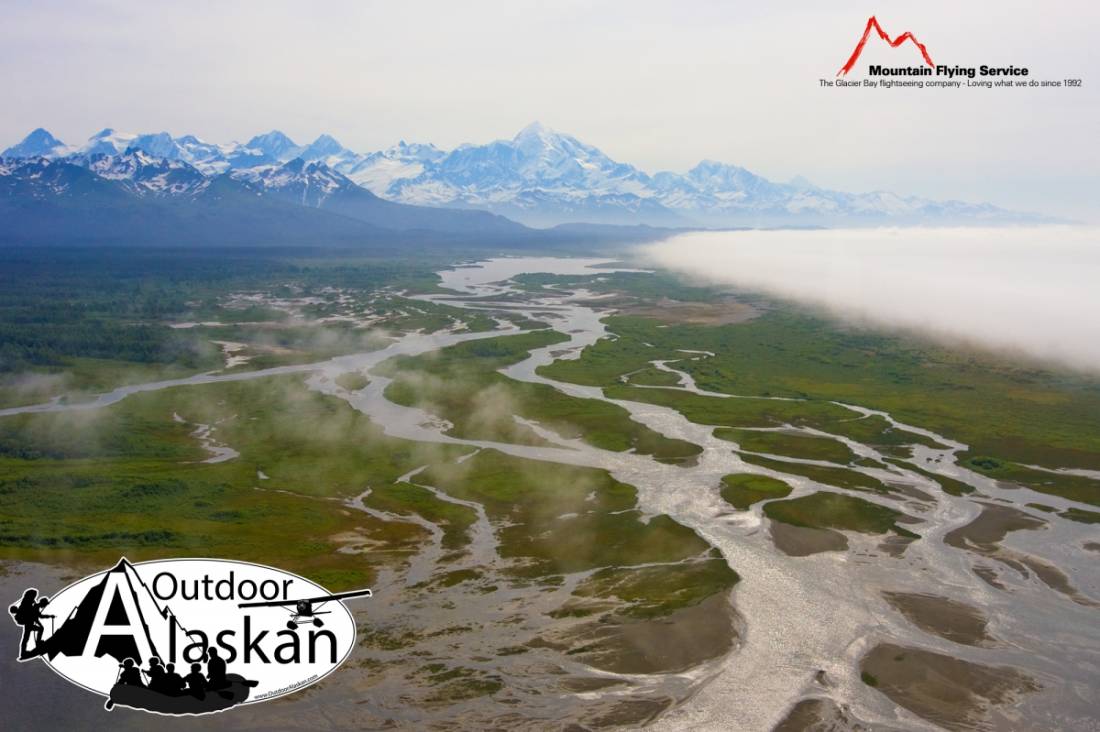
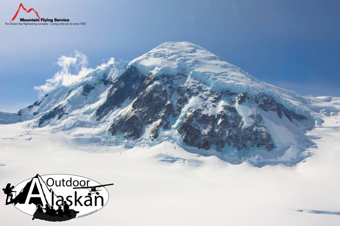
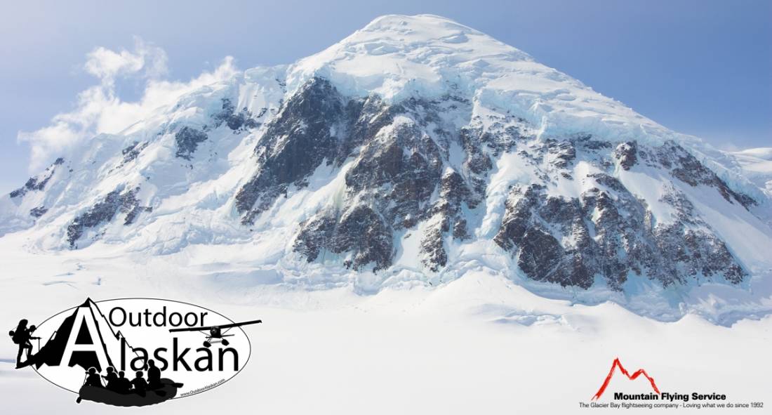
On the Alaska-Canada boundary, in Glacier Bay National Monument, on 12 mi NE of Cape Fairweather and 2.6 mi W of Mount Quincy Adams, St. Elias Mts.
Named in 1778 by Captain Cook (1785, v.2, p.345), RN, presumably because of the good weather encountered at the time of his visit. The name has been variously translated. It was called "Mt. Beautemps" by La Perouse (1786, atlas), "Mte. Buen-tiempo" by Galiano (1802, map 3), "Gor[a]-Khoroshy-pogody" on Russian Hydrographic Dept. Chart 1378 in 1847, and "G[ora] Fayerveder" by Captain Tebenkov (1852, map 7), Imperial Russian Navy (IRN). It was called "Schonwetterberg" by Constantin Grewink in 1850 and "Schonwetter Berg" by Justus Perthes in 1882. The Tlingit Indians' name for the mountain is reportedly "Tanaku". The mountain was first climbed June 8, 1931, by Allen Carpe and Terris Moore (Farquhar, 1959, p.220).
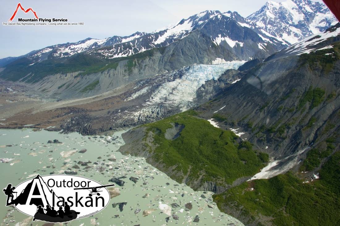
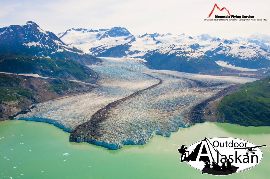
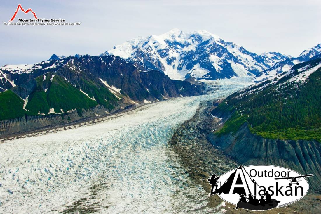
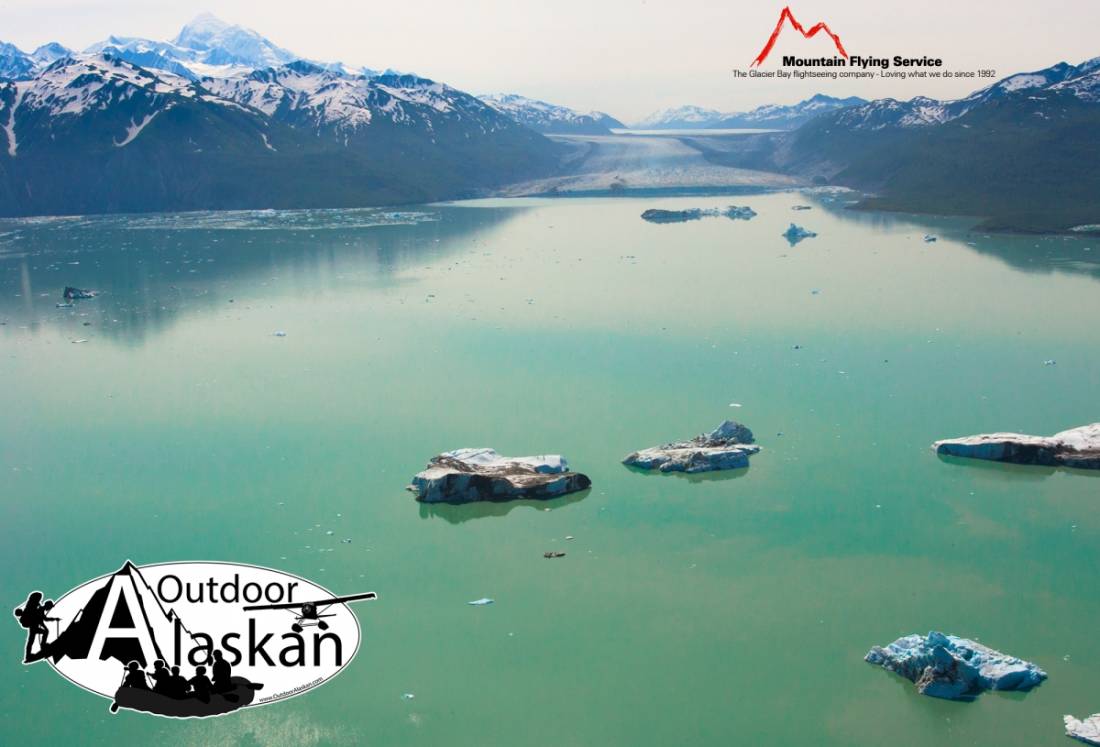
Desolation Glacier, Fairweather Glacier, Lituya Glacier, Sea Otter Glacier,
Mountains:Bay Peak, Mount Escures, Mount Fairweather, Lituya Mountain, Mount Lodge, Mount Quincy Adams, Mount Root, Mount Salisbury, Mount Watson, Mount Wilbur,
Valleys:Pictures of, from, or near Mount Fairweather.