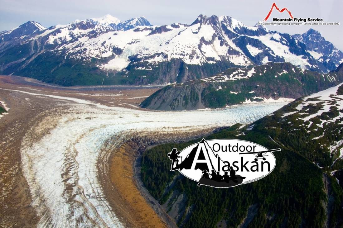
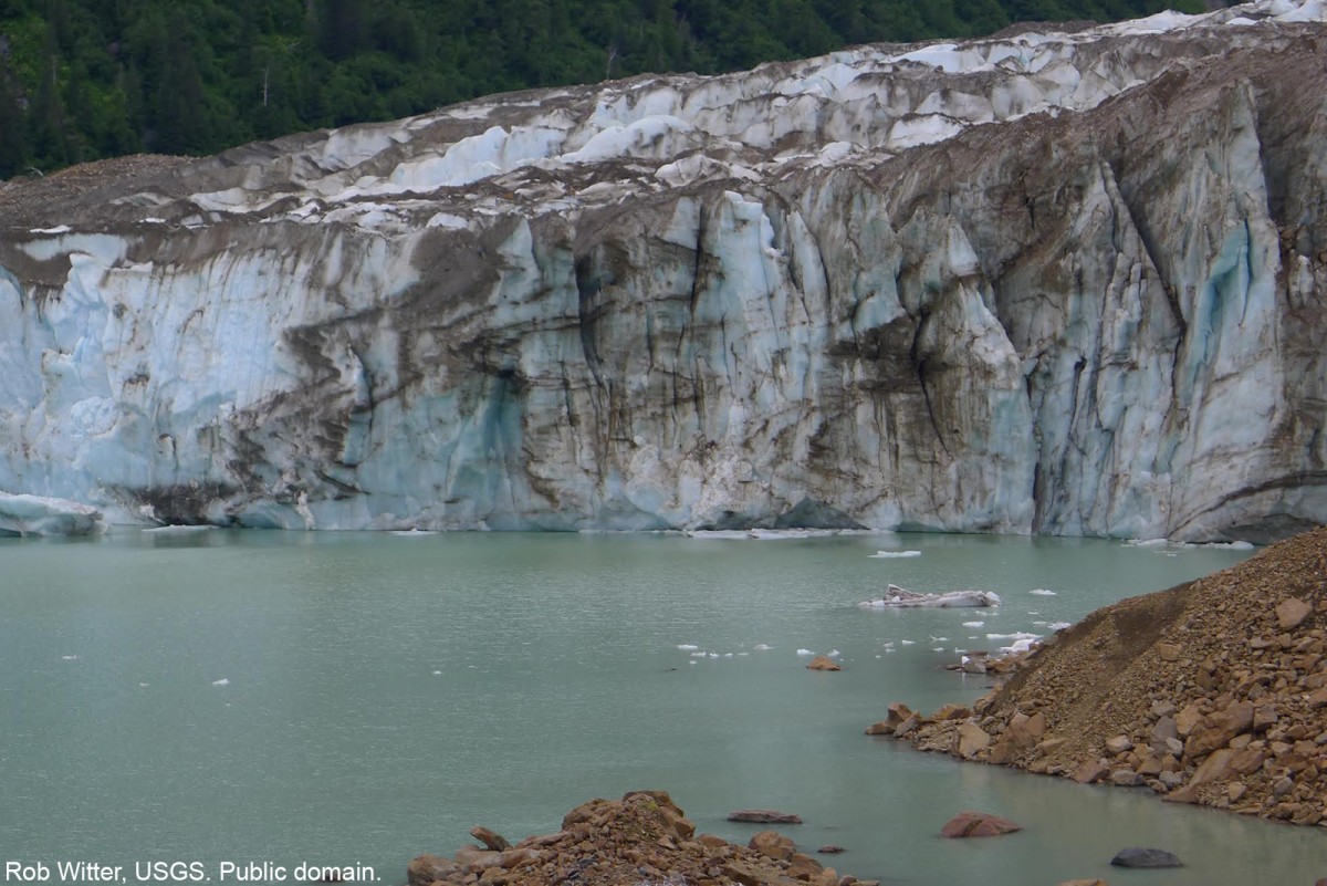
South Crillon Glacier Gallery
Pictures of, from, or near South Crillon Glacier.
in Glacier Bay National Monument, heads in Fairweather Range, trends WSW to Crillon Lake, 79 mi. WNW of Hoonah, St. Elias Mts.
Name published by members of the Harvard-Dartmouth Expedition, 1933-34 (Washburn and Goldthwait, 1936, map).
Cascade Glacier, Dagelet Glacier, Desolation Glacier, Finger Glacier, Huscroft Glacier, Johns Hopkins Glacier, Klooch Glacier, Lituya Glacier, Lookout Glacier, North Crillon Glacier, La Perouse Glacier, South Crillon Glacier,
Lakes:Mountains:Bald Mountain, Bay Peak, Cairn Peak, Carin Peak, Mount Crillon, Mount Dagelet, Grassy Mountain, Mount Klooch, Lituya Mountain, Middle Dome, North Dome, Mount Orville, Ptarmigan Dome, South Dome, Mount Wilbur, Mount Wright,
Mountain Ranges:Ridges:Rivers:Streams:Campbell Creek, Coal Creek, Fall Creek, Mineral Creek, Mudslide Creek, Topsy Creek,
Valleys:Pictures of, from, or near South Crillon Glacier.