Johns Hopkins Inlet Gallery
Pictures of, from, or near Johns Hopkins Inlet.
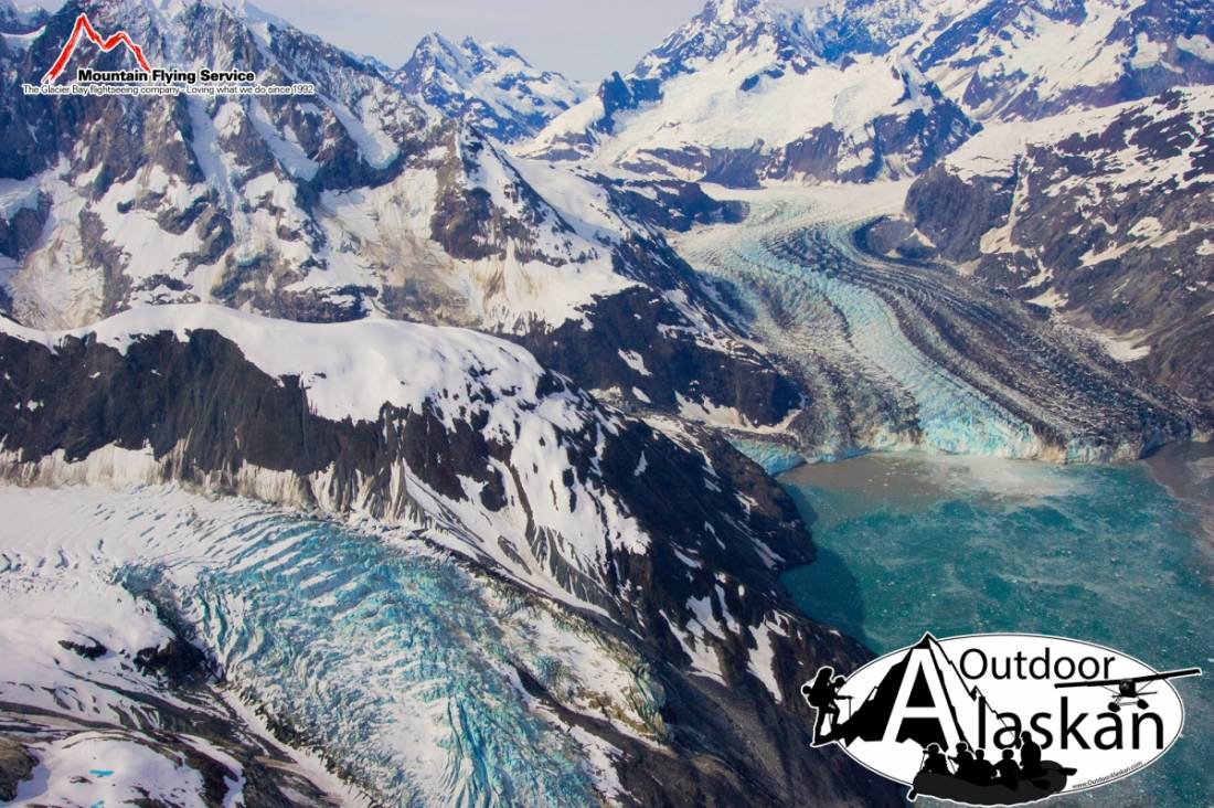
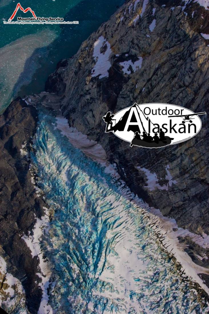
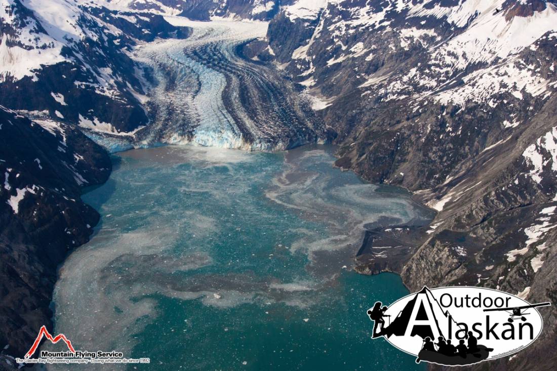
Located at the head of Glacier Bay, south of Tarr Inlet and extending west and southwest to the terminus of Johns Hopkins Glacier, in Glacier Bay National Monument, 77 miles northwest of Hoonah, St. Elias Mountains.
Named by Cooper (1931, p. 61) for the Johns Hopkins Glacier which once occupied the Inlet. He also called the inlet Johns Hopkins Fiord. In 1893 Reid (1896, pl. 86), U.S. Geological Survey (USGS), applied the name Grand Pacific Glacier at Russell I. and he called the inlet at that end of Glacier Bay, "Reid Inlet." As the glacier retreated two inlets were formed, one was called "Tarr Inlet" and the other, at the terminus of the Johns Hopkins Glacier, retained the name of "Reid Inlet." With the further retreat of the Johns Hopkins Glacier, and the lengthening of the inlet, the historical relationship to Reid Glacier became obscure and in 1954, Board on Geographic Names (BGN) changed the name to Johns Hopkins Inlet.
Johns Hopkins Inlet, Tarr Inlet,
Capes:Glaciers:Charley Glacier, Clark Glacier, Gilman Glacier, Grand Pacific Glacier, Hoonah Glacier, John Glacier, Johns Hopkins Glacier, Jones Glacier, Kadachan Glacier, Kashoto Glacier, Lamplugh Glacier, Margerie Glacier, Rendu Glacier, Topeka Glacier, Toyatte Glacier, Tyeen Glacier,
Islands:Mine:Mountains:Mount Abbe, Mount Barnard, Mount Bertha, Mount Cooper, Mount Forde, Mount Parker, Mount Wright,
Streams:Pictures of, from, or near Johns Hopkins Inlet.