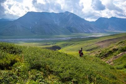
Ikiakpaurak Valley Gallery
Pictures of, from, or near Ikiakpaurak Valley.
drained by Cache Creek, extends east from Canning River, between Shublik Mountains and Third Range, 30 miles northwest of Mount Michelson, Arctic Slope. 23 miles long.
Eskimo name reported by Leffingwell (1919, p. 96), U.S. Geological Survey (USGS), to mean "small valley."
Cache Creek, Curve Creek, Eagle Creek, Ignek Creek, Nanook Creek, Plunge Creek,
Valleys:Canning Valley, Ignek Valley, Ikiakpaurak Valley, Ikiakpuk Valley,
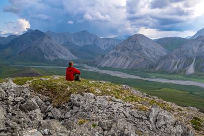
Pictures of, from, or near Ikiakpaurak Valley.
Just before 9am the rumble of a prop enters the valley in the west. I get up, get outside the tent. Ready to welcome Eric to camp, they pass high overhead and then proceed to disappear to the northeast, heading out towards Fire Creek.
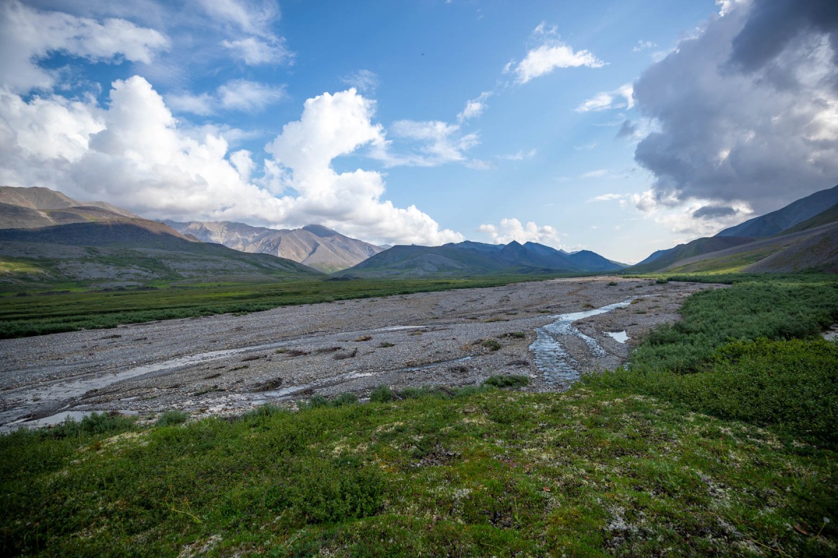
9:30am camp was packed and I was ready to move. I was also still thirsty from the day before. I was only about three-quarter miles from Cache Creek. Going at a calm pace it was fine.