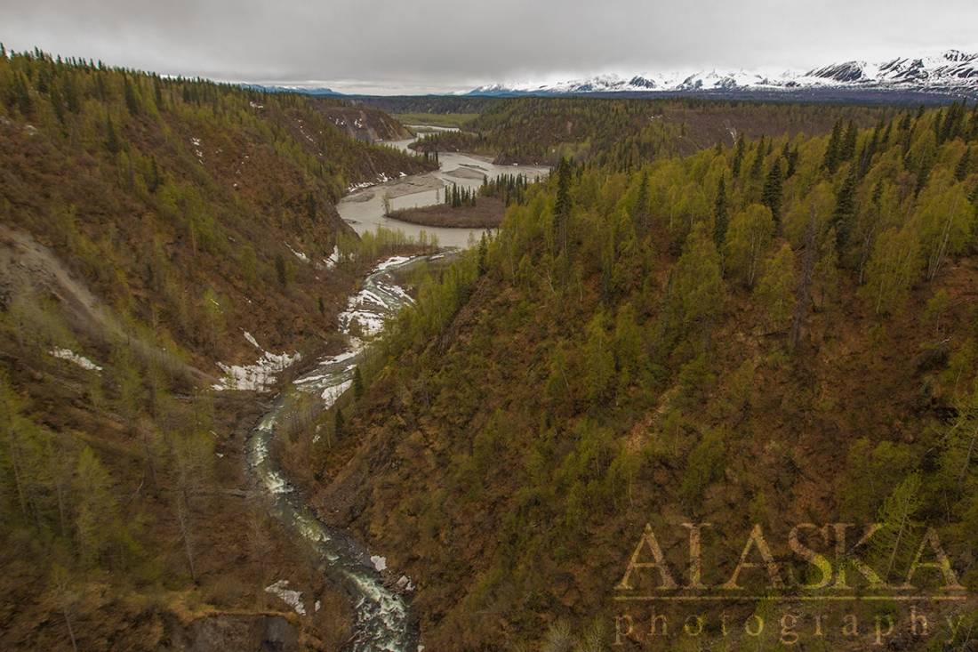
Hurricane Gulch Gallery
Pictures of, from, or near Hurricane Gulch.
trends W to Chulitna River, 63 mi. SW of Healy, Talkeetna Mts. 5 miles long.
It is reported that this feature was named in 1916 by an Alaska RR. crew; however, S. R. Capps, U.S. Geological Survey (USGS), wrote in a 1923 letter that he thought it may have been named by prospectors before that date.
| April 9, 2010 | 1 person died | Read More |
Chulitna Butte, Lookout Mountain,
Mountain Passes:Ridges:K’esugi Ridge,
Rivers:Bull River, East Fork Chulitna River, Middle Fork Chulitna River, West Fork Chulitna River,
Streams:Antimony Creek, Christy Creek, Copeland Creek, Costello Creek, Division Creek, Granite Creek, Hardage Creek, Honolulu Creek, Little Coal Creek, Little Honolulu Creek, Little Shotgun Creek, Long Creek, McCallie Creek, Ohio Creek, Pass Creek, Salmon Creek, Shotgun Creek,
Routes:Kesugi Ridge Trail, Little Coal Creek Trail,
Valleys:Cities:Pictures of, from, or near Hurricane Gulch.