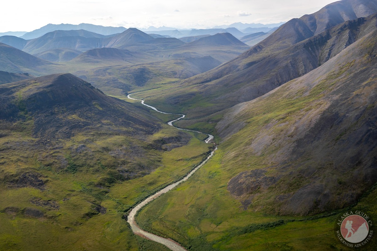
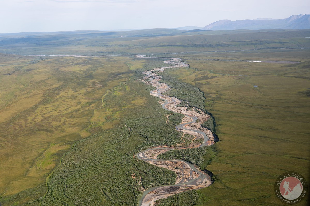
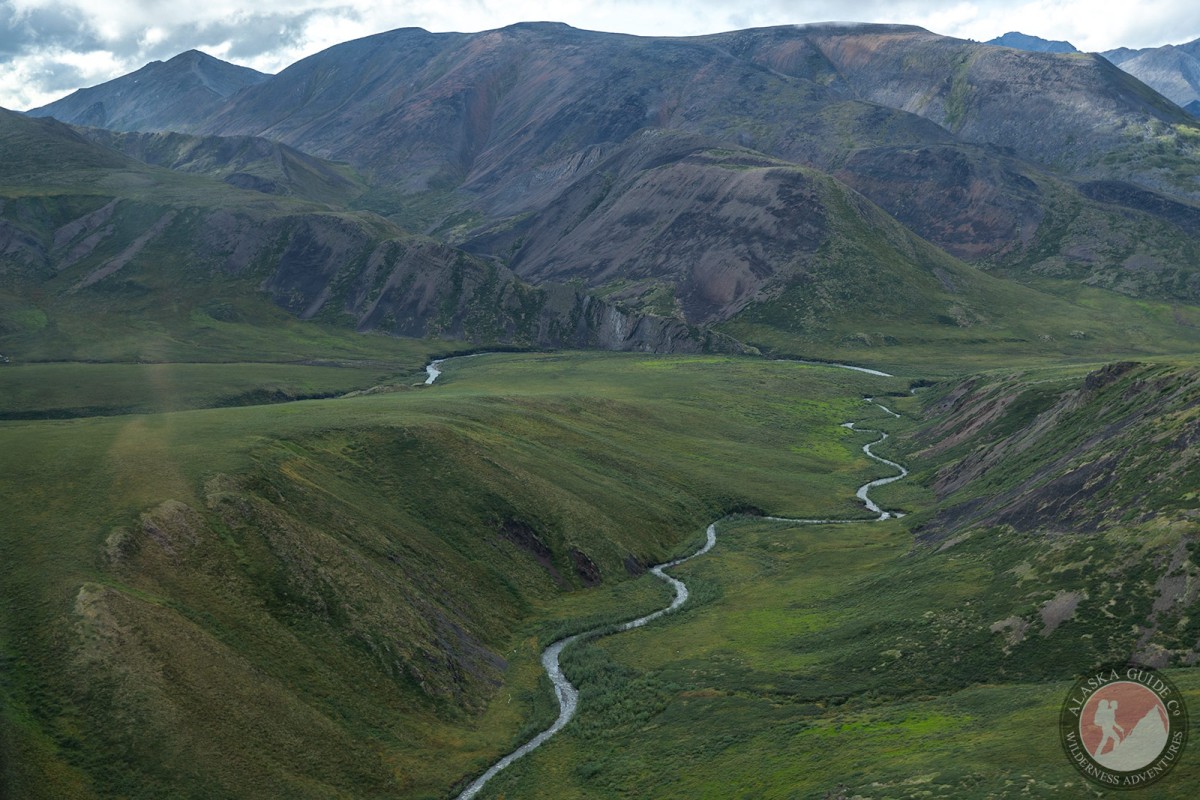
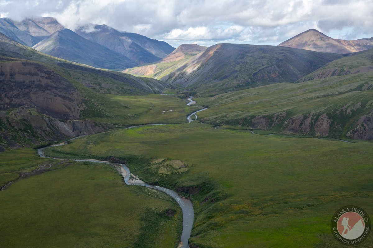
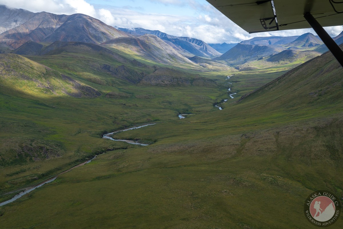
Pogopuk Creek Gallery
Pictures of, from, or near Pogopuk Creek.
heads SW of Mount Salisbury, flows N to Kavik River, 55 mi. W of Mount Michelson, Arctic Slope. 24 miles long.
Named in the 1950s by U.S. Geological Survey (USGS) geologists.
Pictures of, from, or near Pogopuk Creek.