Corkscrew Creek Gallery
Pictures of, from, or near Corkscrew Creek.
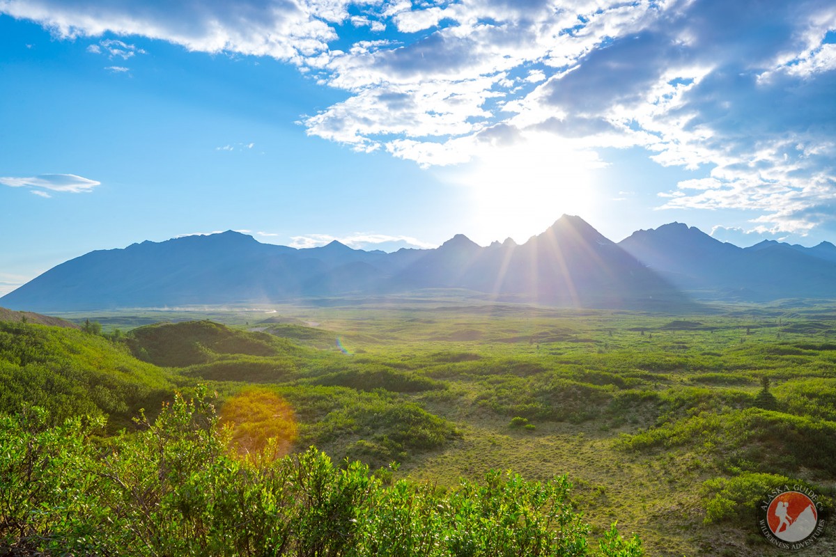
Heads in a cirque in the SE part of the Clearwater Mountains and flows SE to join Clearwater Creek 3 mi downstream from the mouth of Osar Creek, 2 mi. S of Denali Highway and 43 mi. SW of Mount Hayes, Alaska Range. 6.5 miles long.
Descriptive name given in 1954 by U.S. Geological Survey (USGS) geologists.
Grogg Lake, Pass Lake, Roosevelt Lake, Tenas Lake,
Mountain Passes:Mountain Ranges:Rivers:Streams:Clearwater Creek, Coal Creek, Coal Creek, Corkscrew Creek, Grogg Creek, Little Clearwater Creek, Osar Creek, Pass Creek, South Fork Pass Creek, Surprise Creek,
Pictures of, from, or near Corkscrew Creek.