Tamayariak River Gallery
Pictures of, from, or near Tamayariak River.
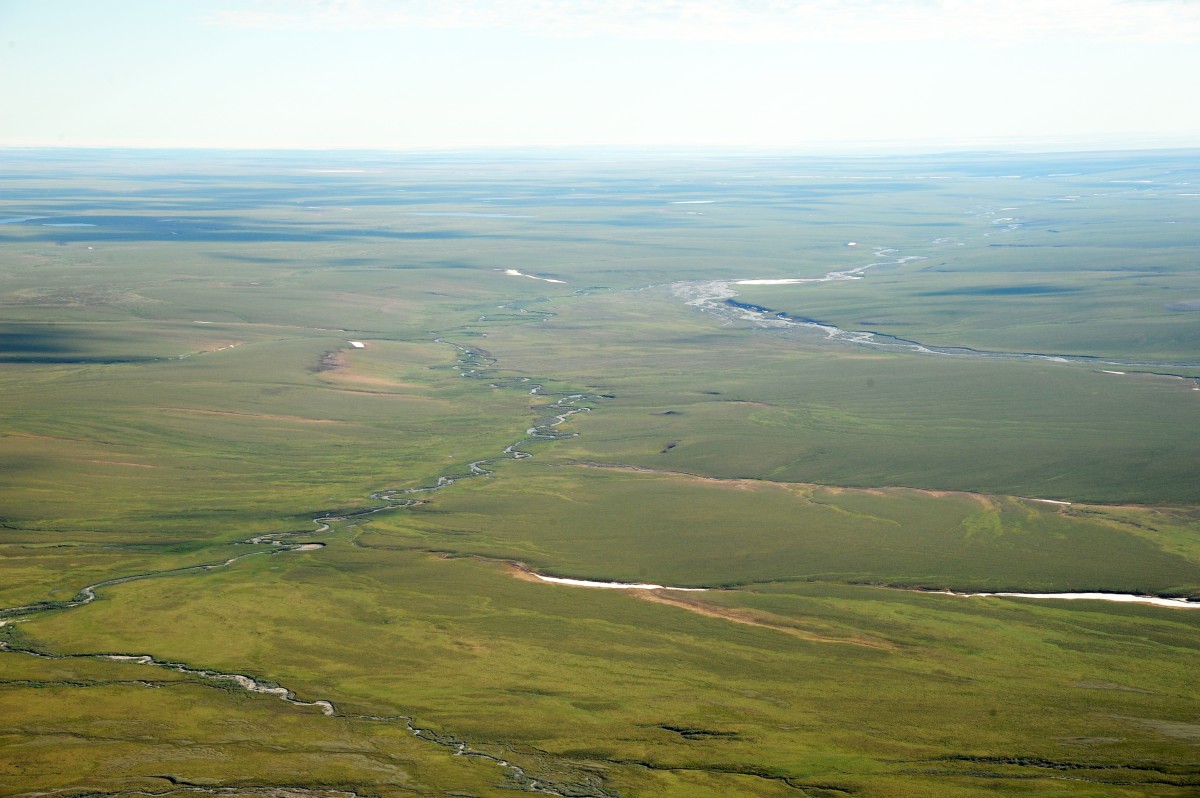
Heding in a lake at the W end of the Sadlerochit Mountains, flows in NNE to the main tributary of the Canning River, 2 mi. SW of its mouth on the Beaufort Sea, Arctic Plain.
Eskimo name reported in 1912 by Leffingwell (1919, p. 100), U.S. Geological Survey (USGS), meaning "route where one can get lost".
Pictures of, from, or near Tamayariak River.