Sadlerochit River Gallery
Pictures of, from, or near Sadlerochit River.
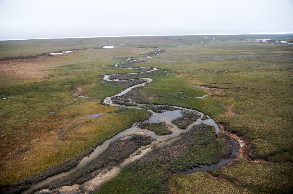
Heads in Franklin Mts. at 691500N, 1452100W, flowing NE and then N to Camden Bay, 18 mi SW of Barter Island, Arctic Plain.
Eskimo name reported in 1912 by Leffingwell (1919, p. 99) to mean "the area outside of the mountains." Probably the same as March's Barter River. It appears on Surg. John Simpson's native map, 1855, as "Shud-ta-ro-shik."
Pictures of, from, or near Sadlerochit River.