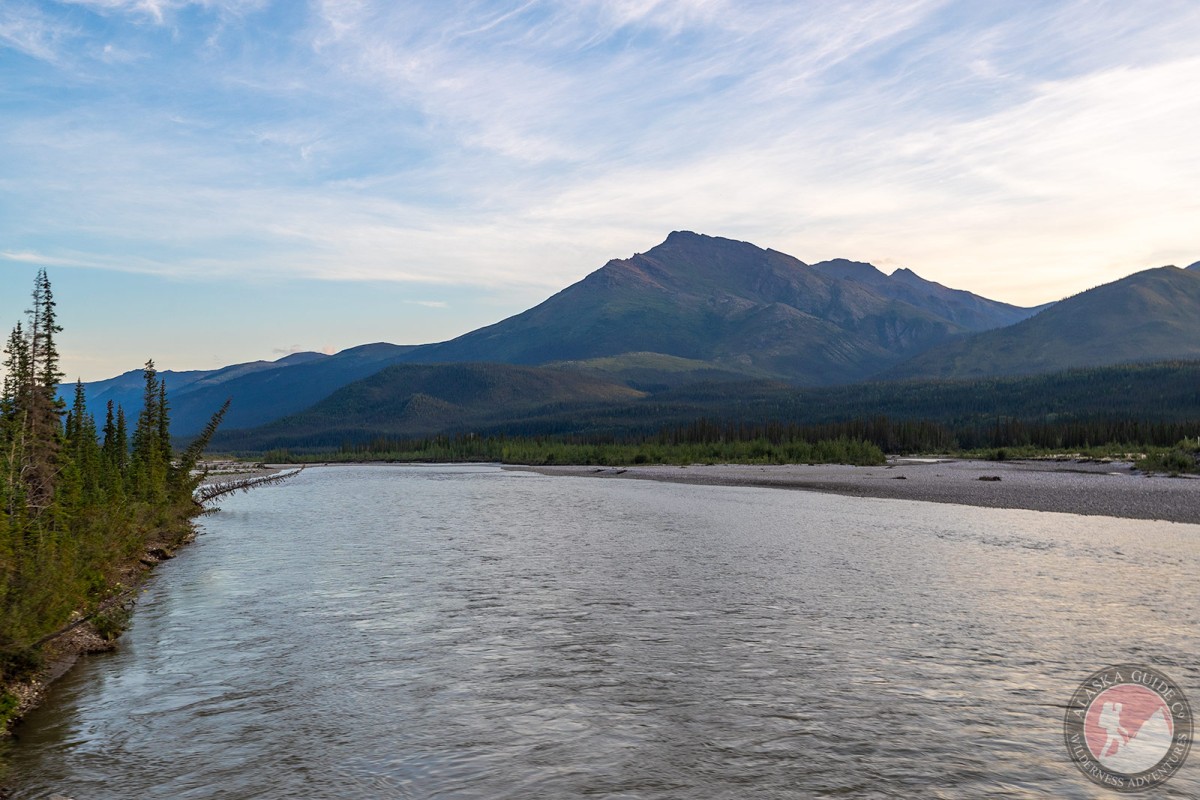
Middle Fork Koyukuk River Gallery
Pictures of, from, or near Middle Fork Koyukuk River.
heads from junction of Bettles and Dietrich Rivers, flows SW to join the North Fork, to form the Koyukuk River, 26 mi. SW of Wiseman, Brooks Range
Local name shown on an 1899 fieldsheet by T. G. Gerdine, U.S. Geological Survey (USGS).
Middle Fork Koyukuk River, North Fork Koyukuk River,
Streams:Eldorado Creek, Florence Creek, Harriet Creek, Pope Creek, Squaw Creek,
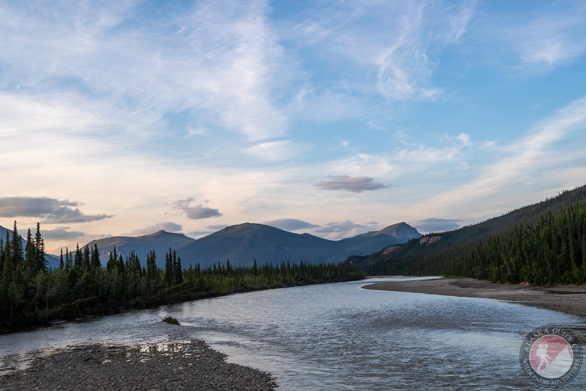
Pictures of, from, or near Middle Fork Koyukuk River.