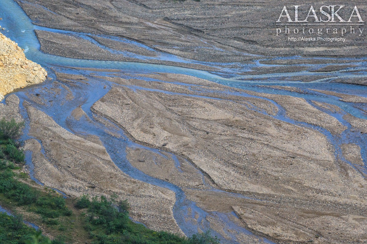
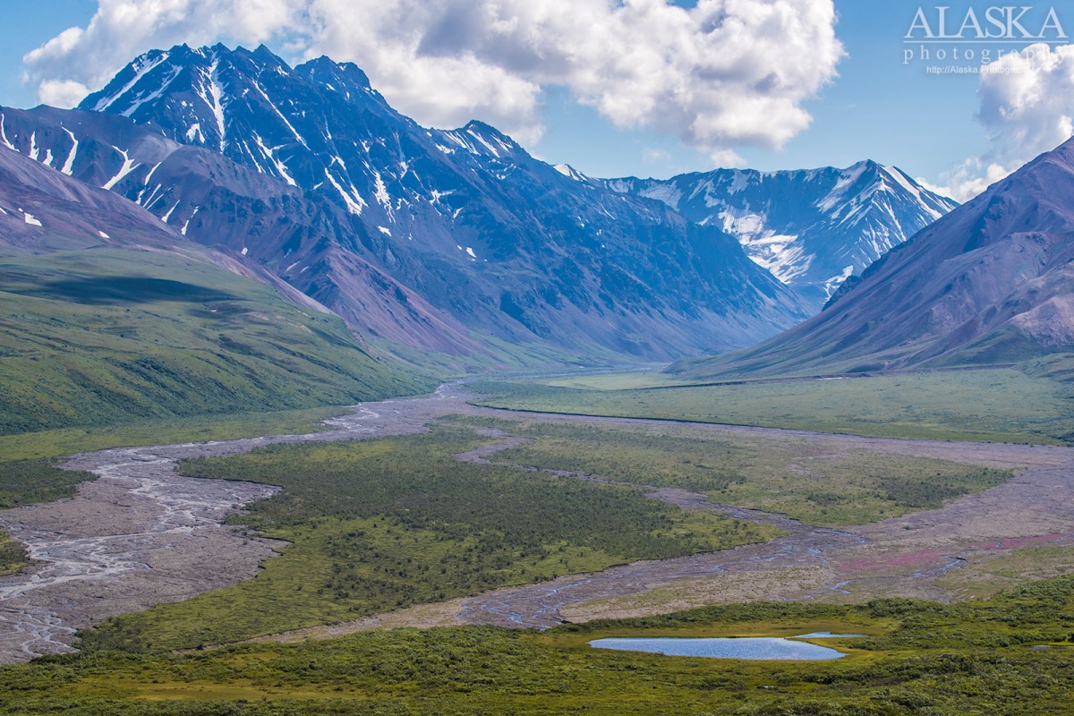
East Fork Toklat River Gallery
Pictures of, from, or near East Fork Toklat River.
heads at glacier terminus, in Denali National Park, flows NNW to Toklat River, 36 mi. W of Healy, Alaska Range. 40 miles long.
Local name shown on a 1916 fieldsheet by C. E. Giffin, U.S. Geological Survey (USGS).
Alder Creek, Bearpaw Creek, Clearwater Fork, Crooked Creek, Little Bear Creek, Little Moose Creek, Stampede Creek, Stony Creek, Wigand Creek,
Pictures of, from, or near East Fork Toklat River.