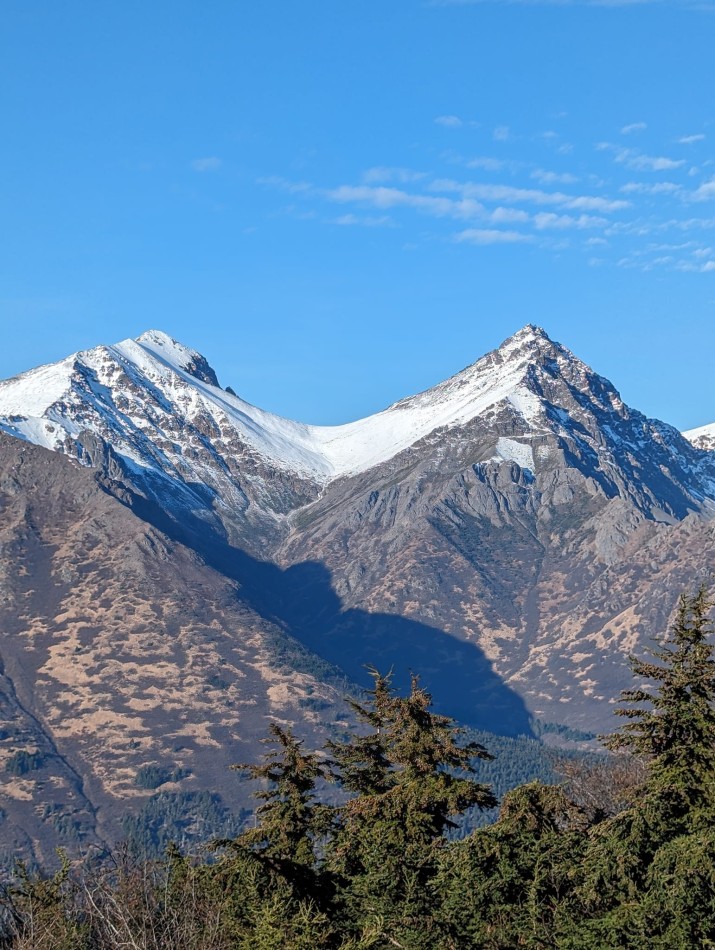
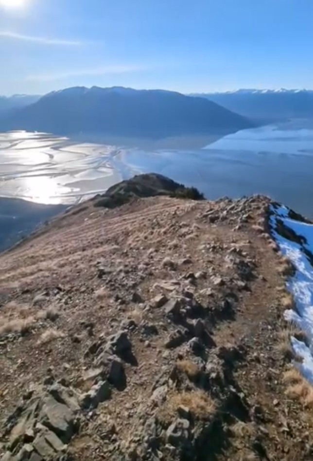
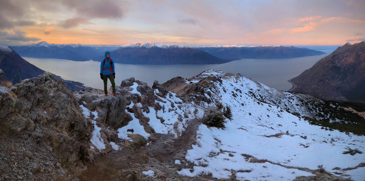
Bird Ridge Gallery
Pictures of, from, or near Bird Ridge.
On map Seward D-7
| April 17, 2011 | 1 person died | hiking | Read More |
Bird Point, Snipers Point, Windy Point,
Streams:Middle Fork Campbell Creek, Snowhawk Creek,
Glaciers:Bird Glacier, Flute Glacier, Glacier G210678E61146N, Glacier G210726E60839N, Organ Glacier,
Routes:Baby Candyland, Black Lake Falls, Candyland, Even Hookers Get the Blues, Flame Out, O’Malley Falls, Organ Pipes, Ptarmigan Pillar, Ski Tracks, Water World,
Lakes:Dishno Pond, Eagle Lake, Hidden Lake, Long Lake, Rabbit Lake, Ship Lake, Symphony Lake, Tanaina Lake, Williwan Lakes,
Locales:2 Bowls, Austrian Bowl, Ball Field, Bidarka, Bird, Black Lake Chute, Binge Bowl, Death Bowls, French Bowl, German Bowl, Hugh's Bowl, Italian Bowl, KCK, North Bowl, North Wedgie, O'Malley Gully, Ship Creek Bowl, Solstice Gully, South Wedgie, Swiss Bowl, Symphony Tarns, Thin White Line, Tiki Cruiser, Windboard Love, Wolverine Chutes,
Mine:Connoly Mine, Downing Mine, Nearhouse Mine, Pearson Mine, Robinson-Bowman Mine, Sunshine Lakes,
Mountains:Mount Alpenglow, Avalanche Mountain, Bidarka Peak, Bird Peak, Bradley Peak, Calliope Mountain, Cantata Peak, Eagle Peak, Harp Mountain, Hurdygurdy Mountain, Indianhouse Mountain, Near Point, O-Malley Peak, Organ Mountain, Ptarmigan Peak, The Ramp, South Yuyanq’ Ch’ex, Tanaina Peak, Temptation Peak, The Wedge, Mount Williwaw, Wolverine Peak,
Parks:Mountain Passes:Bird Creek Pass, Indian Creek Pass, Powerline Pass, Sail Feather Pass, South Ship Lake Pass, West Ship Lake Pass,
Peaks:Peak 3, Adelie Point, Birds Eye Peak, Crested Peak, Elliot, Falls Peak, False Peak, Flaketop Peak, Hidden Peak, Homicide Peak, Hope Mountain, Kanchee Peak, Knoya Peak, Koktoya Peak, Little O'Malley, Middle Kinglet Peak, Nest Peak, North Avalanche Mountain, North Yuyanq’ Ch’ex, Peak Two, Penguin Peak, Shaman Dome, South Avalanche Mountain, South Powerline Peak, Tail Feather Peak, The Dome, The Nipple, The Sail, Tikishla Peak, West Kinglet Peak,
Ridges:Bird Ridge, Seattle Creek Headwall,
Routes:Streams:Alder Creek, Bay Creek, Bear Creek, Beaver Creek, Bedrock Creek, Bird Creek, Black Creek, Bonanza Creek, Coeur d-Alene Creek, Cripple Creek, Cub Creek, Falls Creek, Falls Creek, Highland Creek, Indian Creek, Island Creek, Nelson Creek, North Fork Ship Creek, Old Woman Creek, Palmer Creek, Penguin Creek, Porcupine Creek, Rainbow Creek, Resurrection Creek, Rimrock Creek, Sawmill Creek, Sixmile Creek, Slate Creek, Sunrise Creek, Sunset Creek, Walker Creek, Wildhorse Creek, Willow Creek, Wolf Creek,
Routes:Albert Loop Trail, Avalanche Peak, Ballpark Trail, Bird Creek Trail, Bird Point Interpretive Trail, Bird Ridge Interpretive Trail, Bird Ridge Trail, Bird Valley Trail, Connector 1 Trail, Connector 2 Trail, Dew Mound Trail, Falls Creek Trail, Four Corners Loop Trail, Hanging Valley Trail, Hidden Lake Trail, Indian Creek Pass Trail, Lake Spur HV Trail, Little Omalley Trail, Long Lake Trail, McHugh Lake Trail, Mountain Meadow Trail, Penguin Creek Trail, Penguin Peak Trail, Powerline Trail, Ptarmigan Pass Trail, Ramp Trail, Rapids Camp Loop Trail, River Loop Trail, Rodak Nature Loop Trail, Ship Lake Pass Trail, South Fork ER Trail, Turnagain Arm Trail,
Valleys:Cities:Pictures of, from, or near Bird Ridge.